Tsau ǁKhaeb National Park
The former diamond exclusion zone on the southern coast, closed for a century, holding the Bogenfels rock arch.
Updated 16 October 2026
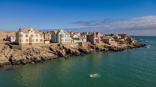
The Sperrgebiet, the forbidden zone, was closed to everyone from 1908 when diamonds were found in the sand, and a century of exclusion left around twenty-six thousand square kilometres of coastal Namib untouched by anything except mining. It became a national park in 2008 but access is still tightly controlled and only permitted with licensed operators. The Bogenfels, a fifty-five-metre natural rock arch standing in the sea, is the best-known feature, along with abandoned mining settlements.
Background
Sperrgebiet is German for "Prohibited Area", and the zone is also known as Diamond Area 1. It runs 320 km along the Atlantic coast from Oranjemund to around 72 kilometres north of Lüderitz and reaches around 100 km inland, three percent of Namibia's land mass. Mining takes place in only five percent of it, and the rest serves as a buffer zone. August Stauch found the first diamond near Grasplatz station in April 1908. The land rises to 1488 metres at its highest point, and Roter Kamm, an impact crater 2.5 kilometres across, lies inside it. Of 776 plant types here, 234 are endemic to southwest Namibia. The national park dates from June 2004.
Source: Wikipedia, "Tsau ǁKhaeb Sperrgebiet National Park"
Highlights
- The Bogenfels - a fifty-five-metre natural rock arch on the coast.
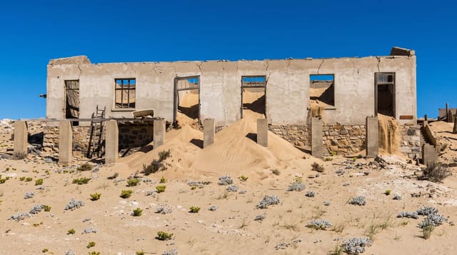
- The abandoned settlements - mining camps left when the diamond fields moved.
- The untouched desert - coastal Namib closed to entry for over a century.
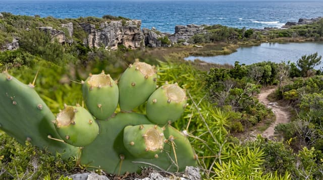
- The succulent flora - a very high concentration of endemic desert plants.
When to go
March to October is the cooler window. Tours run to fixed schedules and must be booked in advance. Fog off the cold current is frequent year round.
What to expect
Independent access is not possible: permits and a licensed guide are required and enforcement is strict. Tours are infrequent and expensive. Much of the park remains closed even to permitted visitors.
Nearby
Luderitz is north, and Kolmanskop is on its edge.
Key facts
Source: Wikidata, item Q1933532, read on 18 October 2026.
What to pack for Tsau ǁKhaeb National Park
Chosen from what this place is for. Tap a kit for the full checklist.
- Broken-in walking shoes or boots - Grip and ankle support matter more than looks; never hike in brand-new boots. Find on Amazon
- Binoculars - The single best wildlife tool - even a compact pair transforms a sighting. Find on Amazon
- Loose, light, long clothing - Covering up beats bare skin in the desert - and locals dress this way for a reason. Find on Amazon
- Layers + a waterproof shell - Mountain weather turns fast; a packable rain jacket saves the day. Find on Amazon
Some links on this page are Amazon affiliate links - if you buy through them we may earn a small commission at no extra cost to you.
All packing kitsPlan your trip
Where to start if Tsau ǁKhaeb National Park is going on the list.
Booking links on this page are affiliate links - if you book through them we may earn a small commission at no extra cost to you. It never changes what we write about a place.
Opening times, ticket prices and seasonal closures change - check the official source before you go: official site.