Stabbursdalen National Park
The world's northernmost pine forest, growing in a Finnmark river valley at 70 degrees north.
Updated 4 September 2026

AI illustration
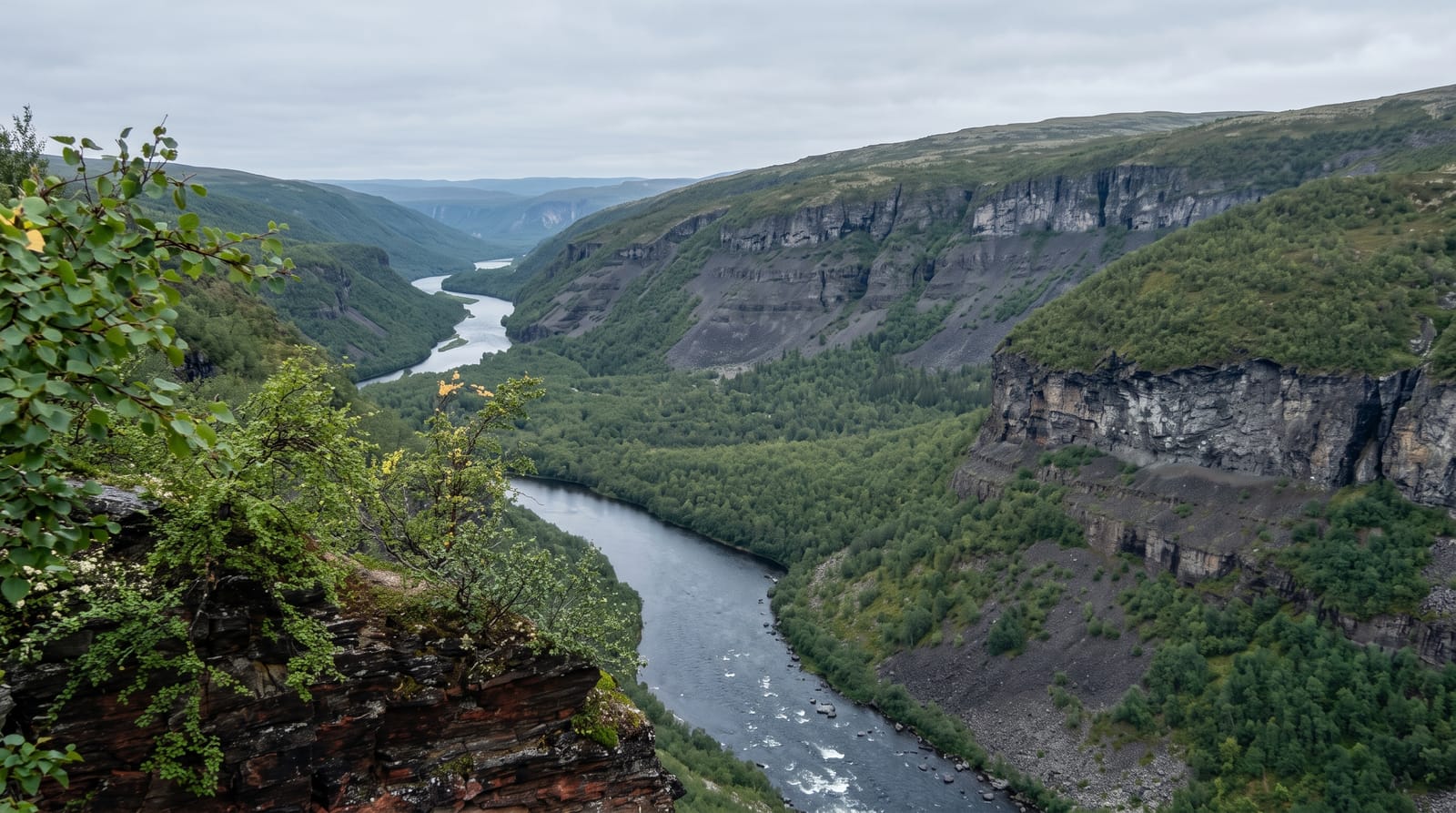
Stabbursdalen protects the northernmost pine forest on Earth, a stand of Scots pine growing in a sheltered river valley at almost 70 degrees north, hundreds of kilometres beyond where the species normally stops. The trees are slow-growing and gnarled, some several hundred years old, and the forest survives because the valley traps warmth and shelter that the surrounding plateau lacks. The park covers about 750 square kilometres and rises from the forest into open tundra and the Gaissene mountains. The Stabburselva river through it is a salmon river with a canyon section. The Stabbursnes nature centre at the park entrance covers the ecology, the Sami use of the area and the Porsangerfjord wetlands nearby.
What you'll find
- The northernmost pines - ancient slow-grown Scots pine at 70 degrees north.
- The river canyon - the Stabburselva cutting through the valley.
- The tundra above - open plateau and the Gaissene mountains.
- The nature centre - exhibitions on the forest, the Sami and the wetlands.
When to go
July to September for walking and the forest at its best; the midnight sun runs from May to late July. Autumn colour on the birch and tundra is strong in early September. Insects in July are heavy.
Things to know
The forest is impressive for its location rather than its scale, and visitors expecting tall timber will find low, twisted trees. Marked routes are limited beyond the valley floor, and the interior is trackless tundra. Facilities are a nature centre, a campsite and cabins.
Nearby
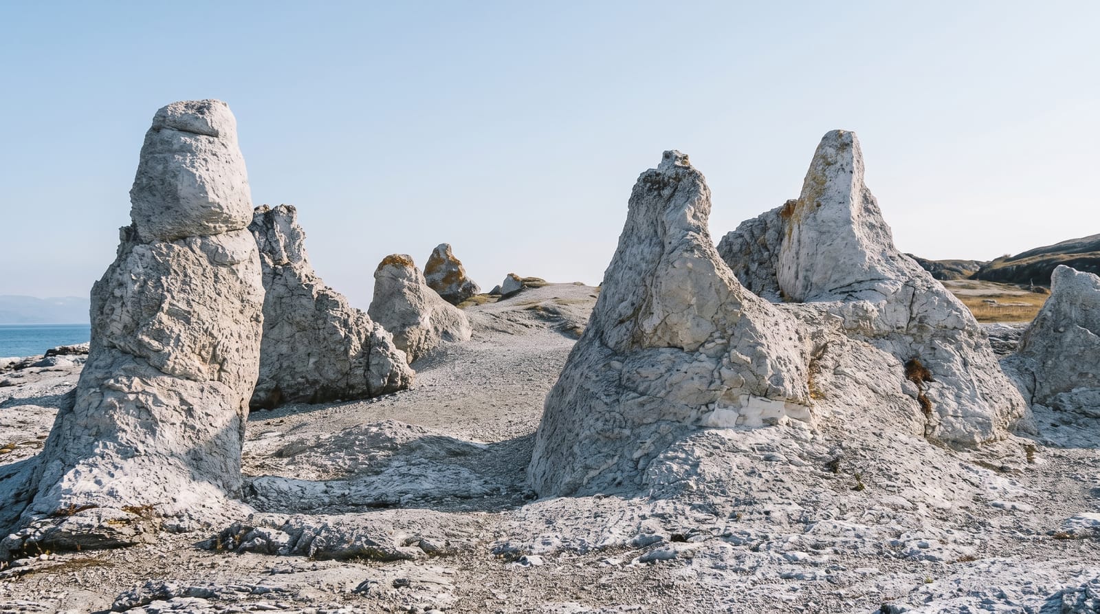
Trollholmsund is up the fjord road; Lakselv, Alta and the Porsangerfjord surround the park.
Key facts
Source: Wikidata, item Q1472424, read on 18 October 2026.
What to pack for Stabbursdalen National Park
Chosen from what this place is for. Tap a kit for the full checklist.
- Broken-in walking shoes or boots - Grip and ankle support matter more than looks; never hike in brand-new boots. Find on Amazon
- Binoculars - The single best wildlife tool - even a compact pair transforms a sighting. Find on Amazon
- Spare batteries + cards - Cold and long shoots drain power; never run out at the good light. Find on Amazon
- Warm base layers - Merino or synthetic against the skin - never cotton, which chills when damp. Find on Amazon
Some links on this page are Amazon affiliate links - if you buy through them we may earn a small commission at no extra cost to you.
All packing kitsPlan your trip
Where to start if Stabbursdalen National Park is going on the list.
Booking links on this page are affiliate links - if you book through them we may earn a small commission at no extra cost to you. It never changes what we write about a place.
Opening times, ticket prices and seasonal closures change - check the official source before you go: official site.