The Zambezi Region
The green corner of Namibia, a narrow strip of river and floodplain where elephants move between four countries.
Updated 21 October 2026

AI illustration
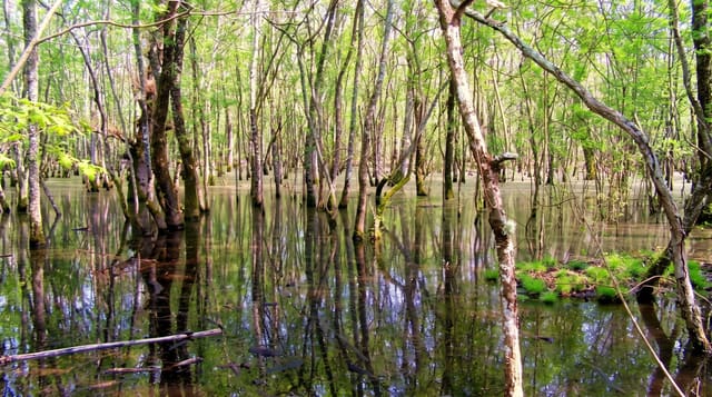
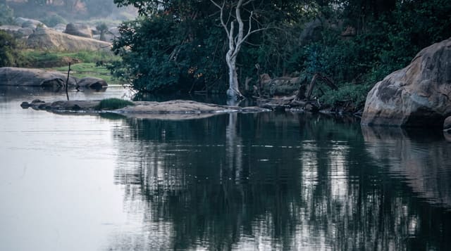
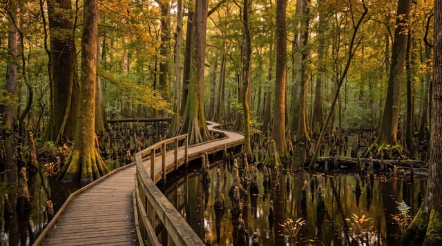
The long narrow strip of land reaching east from the top of Namibia, formerly called the Caprivi and now the Zambezi Region, is nothing like the rest of the country. Four rivers run through it, the floodplains are green, and it forms the core of a vast transfrontier conservation area linking Namibia, Botswana, Zambia, Zimbabwe and Angola, along which elephants and buffalo move in large numbers. Bwabwata, Mudumu and Nkasa Rupara protect parts of it, the last being a wetland of channels and islands that floods into something close to a miniature Okavango. Boat trips are as productive as game drives here, and the birdlife is the best in Namibia, with African skimmers, carmine bee-eater colonies and hundreds of other species.
History
Until the end of the 19th century the area was known as Itenge and ruled by the Lozi kings. In 1890 Germany acquired the strip in an exchange with Britain and named it after Chancellor Leo von Caprivi, who negotiated it, and the region kept the name Caprivi until 2013 (Wikipedia, Zambezi Region).
What you'll find
- Nkasa Rupara - seasonally flooded wetland of channels and islands, explored by boat and vehicle.
- Bwabwata - elephant corridors between Namibia, Botswana and Angola.
- River boat trips - the Kwando, Chobe and Zambezi from lodge boats.
- Carmine bee-eater colonies - riverbank nesting colonies in the right months.
When to go
May to October is the dry season, when animals concentrate on the rivers and roads are passable. February to April is the green flood season, excellent for birds but with many tracks impassable and some camps closed.
Practical notes
This is a long way from Namibia's main circuit and adds serious driving to any itinerary. It is the one part of the country with a malaria risk. Tracks in the wetland parks become impassable in the wet season and even in the dry require four-wheel drive and, in places, real experience. Facilities are lodge-based rather than self-drive friendly.
Nearby
Victoria Falls is a few hours east across the border; the Okavango Delta lies south in Botswana.
What to pack for The Zambezi Region
Chosen from what this place is for. Tap a kit for the full checklist.
- Broken-in walking shoes or boots - Grip and ankle support matter more than looks; never hike in brand-new boots. Find on Amazon
- Binoculars - The single best wildlife tool - even a compact pair transforms a sighting. Find on Amazon
- Layers + a waterproof shell - Mountain weather turns fast; a packable rain jacket saves the day. Find on Amazon
- A zoom camera or long lens - Animals rarely come close; reach beats megapixels. Find on Amazon
Some links on this page are Amazon affiliate links - if you buy through them we may earn a small commission at no extra cost to you.
All packing kitsPlan your trip
Where to start if The Zambezi Region is going on the list.
Booking links on this page are affiliate links - if you book through them we may earn a small commission at no extra cost to you. It never changes what we write about a place.
Opening times, ticket prices and seasonal closures change - check the official source before you go: official site.