Ziz Gorges
A canyon where the Ziz cuts through the High Atlas, opening into a palm valley that runs on towards the Sahara.
Updated 29 August 2026
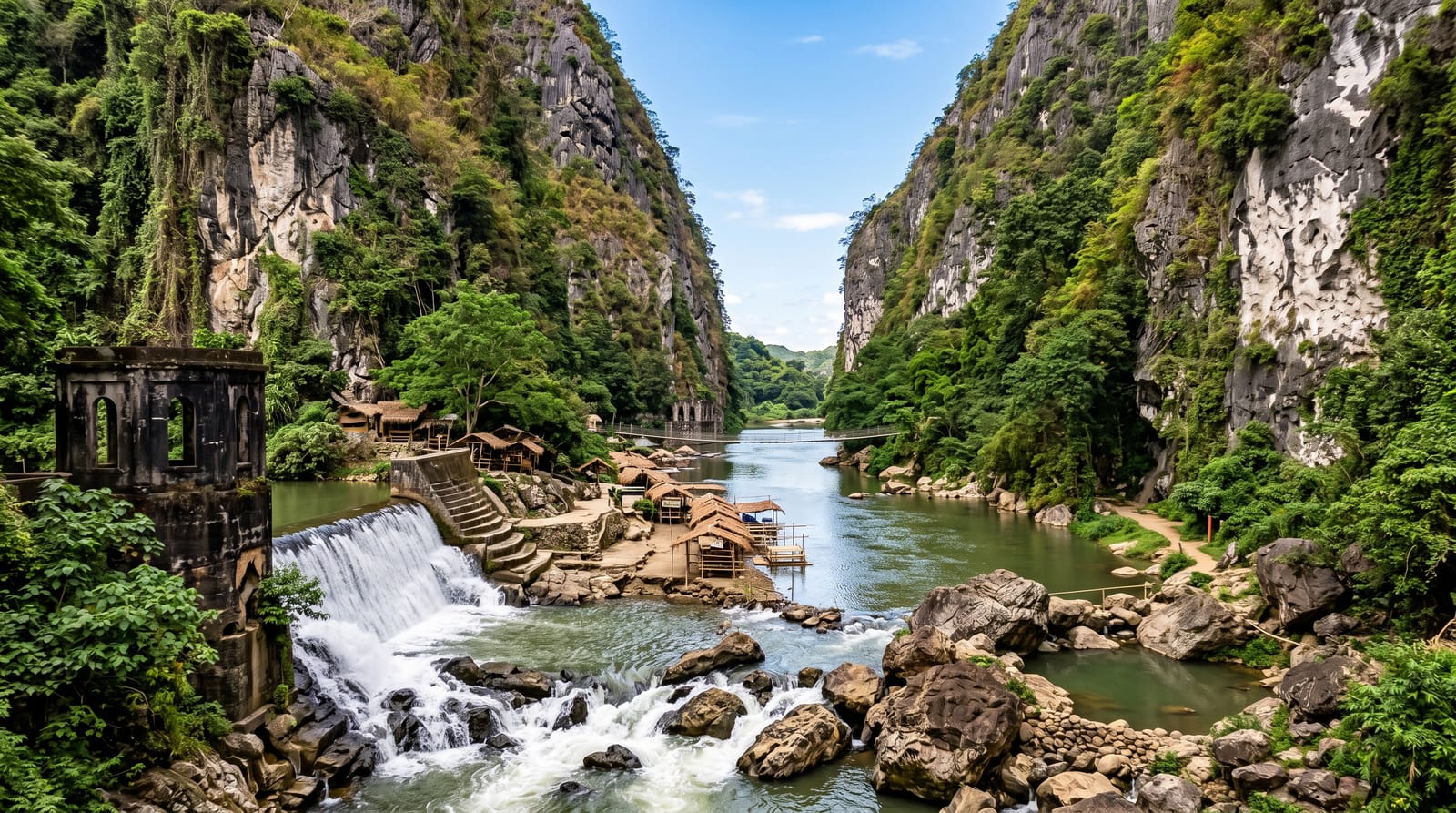
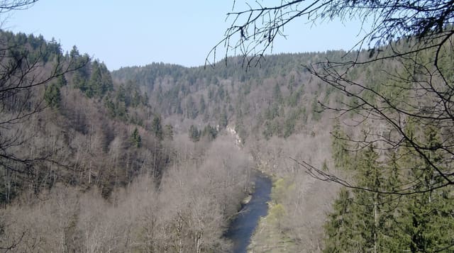
The N13 from Midelt to Errachidia is the road to the desert and the Ziz gorges are its best stretch: after the Tizi n'Talghomt the road drops into a canyon where the river has cut through red and grey rock, running between walls with tunnels driven through the spurs, and then opens out into the Ziz valley proper - a continuous ribbon of date palms and gardens along the river with ksour on the terraces above, running south for well over a hundred kilometres towards Erfoud and the Tafilalt. The viewpoint above the valley south of the gorges, where the whole green line appears below with desert on both sides, is one of the standard photographs of southern Morocco. The Hassan Addakhil dam upstream, completed in 1971, regulates the river and has changed the flow the palms depend on. Source Bleue de Meski is on the same road further south.
What's there
- A cut through the Atlas - the river's canyon with tunnels driven through the spurs.
- The palm ribbon - a continuous green line of dates and gardens running south.
- Ksour on the terraces - fortified villages above the productive land.
- The valley viewpoint - the green strip between desert on both sides.
When to go
Spring and autumn. A day, as the drive south to the desert.
Good to know
This is a driving route rather than a destination - the stops are viewpoints. Summer heat in the valley is extreme. The dam upstream has reduced the river's natural flow. Fuel and services are thin between towns.
Nearby
Source Bleue de Meski is south; Midelt is north over the pass.
What to pack for Ziz Gorges
Chosen from what this place is for. Tap a kit for the full checklist.
- Broken-in walking shoes or boots - Grip and ankle support matter more than looks; never hike in brand-new boots. Find on Amazon
- Loose, light, long clothing - Covering up beats bare skin in the desert - and locals dress this way for a reason. Find on Amazon
- Layers + a waterproof shell - Mountain weather turns fast; a packable rain jacket saves the day. Find on Amazon
- A wide-brim hat + sunglasses - Shade for your face and eyes where there is none overhead. Find on Amazon
Some links on this page are Amazon affiliate links - if you buy through them we may earn a small commission at no extra cost to you.
All packing kitsPlan your trip
Where to start if Ziz Gorges is going on the list.
Booking links on this page are affiliate links - if you book through them we may earn a small commission at no extra cost to you. It never changes what we write about a place.
Opening times, ticket prices and seasonal closures change - check the official source before you go: official site.