Wutach Gorge
A wild gorge cut after a river was diverted from the Danube to the Rhine during the last ice age.
Updated 21 October 2026

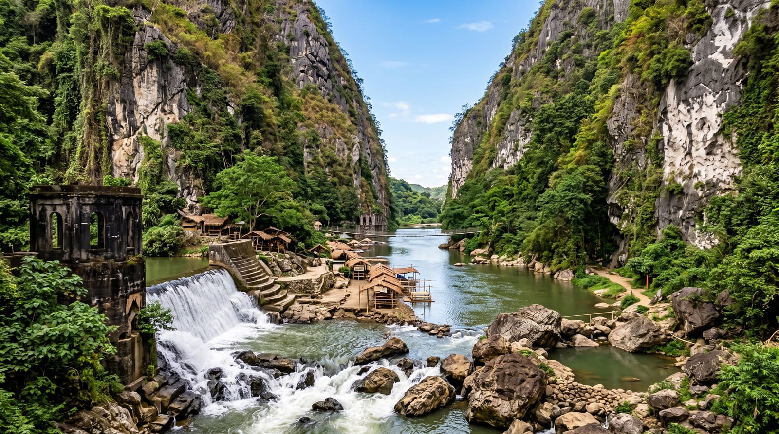
AI illustration
The Wutach once flowed east to the Danube; during the last ice age it was diverted to the Rhine, how and exactly when is still argued over, and the river switched to a much steeper course, cutting a gorge some thirty kilometres long and up to a hundred and seventy metres deep in geological terms almost overnight. The walls expose a sequence of rock from granite through Triassic and Jurassic layers, and because the gorge has been left largely unmanaged it holds an unusually rich flora and fauna, with over twelve hundred plant species recorded. The main trail runs along the river on bridges and ladders, and floods regularly damage it.
Highlights
- The river capture - a gorge cut fast when the river changed course.
- The rock sequence - granite to Jurassic layers exposed in the walls.
- The unmanaged forest - fallen trees and gravel banks left in place.
- The trail - a riverside route on bridges, ladders and rough paths.
When to go
May to October; the trail closes in winter and after floods, which happen most years and can shut sections for months. Check current conditions before setting out.
What to expect
Sections close after floods, sometimes for a whole season. The full walk is long with limited exits. There is no phone signal in much of the gorge.
Nearby
The Feldberg lies northwest; the Swiss border is south.
Key facts
Source: Wikidata, item Q16861466, read on 18 October 2026.
What to pack for Wutach Gorge
Chosen from what this place is for. Tap a kit for the full checklist.
- Broken-in walking shoes or boots - Grip and ankle support matter more than looks; never hike in brand-new boots. Find on Amazon
- Shelter suited to the place - Tent, tarp or hut booking - match it to the terrain and rules. Find on Amazon
- Layers + a waterproof shell - Mountain weather turns fast; a packable rain jacket saves the day. Find on Amazon
- A warm sleeping bag + mat - Rated a little colder than you expect the nights to be. Find on Amazon
Some links on this page are Amazon affiliate links - if you buy through them we may earn a small commission at no extra cost to you.
All packing kitsPlan your trip
Where to start if Wutach Gorge is going on the list.
Booking links on this page are affiliate links - if you book through them we may earn a small commission at no extra cost to you. It never changes what we write about a place.
Opening times, ticket prices and seasonal closures change - check the official source before you go: official site.