Tessaout Valley
A deep valley of mud villages on the southern side of M'Goun, walked into over a pass and rarely driven to.
Updated 29 August 2026
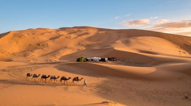
The Tessaout rises under the M'Goun massif and runs west through one of the deepest and least accessible valleys in the Central High Atlas - villages of packed red earth stacked on ledges above the river, terraces of barley and walnut, granaries and threshing floors, and no road for much of its length. The usual way in is on foot from the Bou Guemez over the Tizi n'Rouguelt at about 2,860 metres, which is a long day, and the standard trek continues down the valley through Amezri, Ichbbakene and Aït Hamza before crossing out again or descending to the west. It is the classic Central Atlas walk and the reason people come to this part of the range: mule-supported, village to village, sleeping in gites, with the mountain wall above and the river below. The 2023 earthquake affected parts of the wider region; check the state of routes and gites before setting out.
What you'll find
- Stacked earth villages - packed red houses on ledges with granaries and threshing floors.
- A pass approach - the Tizi n'Rouguelt at about 2,860 metres from the Bou Guemez.
- Village-to-village trekking - the classic Central Atlas route, mule-supported.
- A roadless valley - no vehicle access for much of its length.
When to go
May to October; snow closes the passes outside. Three to four days.
Before you go
There is no road access to most of the valley - this is a multi-day walk with mules and a guide. Gites are basic with full board. Weather at the passes changes fast. Check route conditions locally after the 2023 earthquake.
Nearby
The Bou Guemez valley is north over the pass; M'Goun rises above.
Key facts
Source: Wikidata, item Q80729158, read on 18 October 2026.
What to pack for Tessaout Valley
Chosen from what this place is for. Tap a kit for the full checklist.
- Broken-in walking shoes or boots - Grip and ankle support matter more than looks; never hike in brand-new boots. Find on Amazon
- Warm base layers - Merino or synthetic against the skin - never cotton, which chills when damp. Find on Amazon
- Layers + a waterproof shell - Mountain weather turns fast; a packable rain jacket saves the day. Find on Amazon
- An insulated + windproof jacket - A down or synthetic layer under a hard shell handles most cold. Find on Amazon
Some links on this page are Amazon affiliate links - if you buy through them we may earn a small commission at no extra cost to you.
All packing kitsPlan your trip
Where to start if Tessaout Valley is going on the list.
Booking links on this page are affiliate links - if you book through them we may earn a small commission at no extra cost to you. It never changes what we write about a place.
Opening times, ticket prices and seasonal closures change - check the official source before you go: official site.