Jebel Zagora
A flat-topped hill above Zagora with Almoravid-era ruins on it and the whole Draa palm belt laid out below.
Updated 29 August 2026
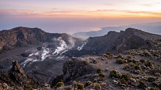
Jebel Zagora is the table-topped hill immediately south of the town, about 970 metres, and the walk or drive up it is the standard thing to do at sunset. On the summit are the remains of a fortification generally dated to the Almoravid period, eleventh or twelfth century - low walls and cisterns rather than a standing building, but placed where you would expect: commanding the Draa valley, which was the route north from the Sahara. What you go for is the view, and it is a good one: the palmeraie running as a green line along the river both ways, ochre hills, and the desert flats beyond. The much-photographed sign in the town below reading Timbuktu 52 days by camel is a modern replacement of an older one and the journey it describes was real. Sunrise is quieter than sunset and the light on the palms is better.
What's there
- Almoravid ruins - low walls and cisterns on the summit commanding the Draa route.
- The palm line - the green ribbon along the river running both ways below.
- The Timbuktu sign - a modern replacement in the town, describing a real journey.
- A short ascent - drivable most of the way, then a walk to the top.
When to go
October to April; sunrise for the better light. Two to three hours.
Things to know
The ruins are foundations rather than a building - the view is the reason to climb. The track is rough in its upper section. Summer heat makes the walk unwise. Sunset brings vehicles and crowds to a small summit.
Nearby
Zagora is below; Tinfou dunes and M'Hamid are south down the valley.
Key facts
Source: Wikidata, item Q2843386, read on 18 October 2026.
What to pack for Jebel Zagora
Chosen from what this place is for. Tap a kit for the full checklist.
- Broken-in walking shoes or boots - Grip and ankle support matter more than looks; never hike in brand-new boots. Find on Amazon
- Loose, light, long clothing - Covering up beats bare skin in the desert - and locals dress this way for a reason. Find on Amazon
- Layers for big temperature swings - Warm sun by day, near-freezing at night, even near the equator. Find on Amazon
- Layers + a waterproof shell - Mountain weather turns fast; a packable rain jacket saves the day. Find on Amazon
Some links on this page are Amazon affiliate links - if you buy through them we may earn a small commission at no extra cost to you.
All packing kitsPlan your trip
Where to start if Jebel Zagora is going on the list.
Booking links on this page are affiliate links - if you book through them we may earn a small commission at no extra cost to you. It never changes what we write about a place.
Opening times, ticket prices and seasonal closures change - check the official source before you go: official site.