Cap des Trois Fourches
A long rocky cape north of Nador ending at a lighthouse, with hard-to-reach coves down the tracks on either side.
Updated 20 October 2026
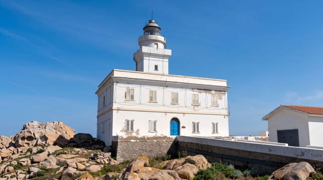
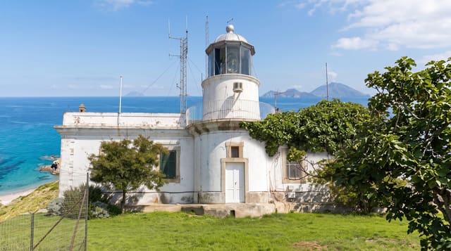
The cape juts about thirty kilometres north into the Mediterranean from the coast east of Al Hoceima - a spine of bare rock and scrub with a single road running the length of it to a lighthouse at the tip, built in the Spanish period and still working. The interest is on either side: tracks drop off the ridge to coves with clear water and coarse sand, most of them with a handful of fishermen's huts and nothing else, and several are difficult enough to reach that they stay empty even in August. Charrana and Tibouda are among the more accessible. The water is clear and the snorkelling is good; there is no shade, no water and no services anywhere on the cape, so everything has to be carried. The drive itself, along the ridge with the sea on both sides, is the other reason to come.
History
The Marinids built the Tazouda castle in the south of the peninsula, and on 26 August 1923 the ship España ran aground on the cape and was wrecked (Wikipedia, Cape Three Forks).
What's there
- A thirty-kilometre spine - bare rock and scrub with one road along it.
- The lighthouse - at the tip, built in the Spanish period and still working.
- Coves off the tracks - clear water and coarse sand, several nearly empty in August.
- The ridge drive - sea visible on both sides for much of the way.
When to go
May to September. A day. Carry everything you need.
Practical notes
There are no services of any kind on the cape - no water, fuel, shade or food. Tracks to the coves are rough and some need high clearance. The road is long and slow. Wind can be severe on the ridge.
Nearby
Nador and Marchica lagoon are south; Al Hoceima is west along the coast.
Key facts
Source: Wikidata, item Q2937164, read on 18 October 2026.
What to pack for Cap des Trois Fourches
Chosen from what this place is for. Tap a kit for the full checklist.
- Broken-in walking shoes or boots - Grip and ankle support matter more than looks; never hike in brand-new boots. Find on Amazon
- Reef-safe sunscreen - High SPF that will not bleach the coral you are swimming over. Find on Amazon
- Your own mask + snorkel - A well-fitting mask is the single biggest comfort upgrade underwater. Find on Amazon
- Shelter suited to the place - Tent, tarp or hut booking - match it to the terrain and rules. Find on Amazon
Some links on this page are Amazon affiliate links - if you buy through them we may earn a small commission at no extra cost to you.
All packing kitsPlan your trip
Where to start if Cap des Trois Fourches is going on the list.
Booking links on this page are affiliate links - if you book through them we may earn a small commission at no extra cost to you. It never changes what we write about a place.
Opening times, ticket prices and seasonal closures change - check the official source before you go: official site.