Ain Asserdoun Springs
A spring that has watered Beni Mellal's plain for centuries, channelled through terraced gardens below a hilltop fort.
Updated 29 August 2026
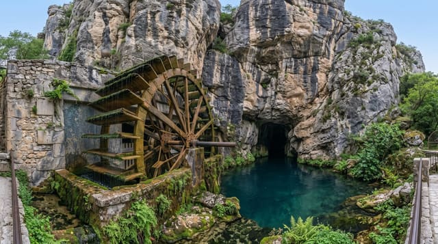
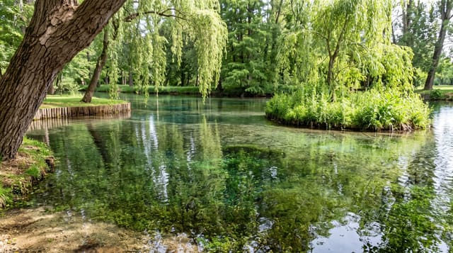
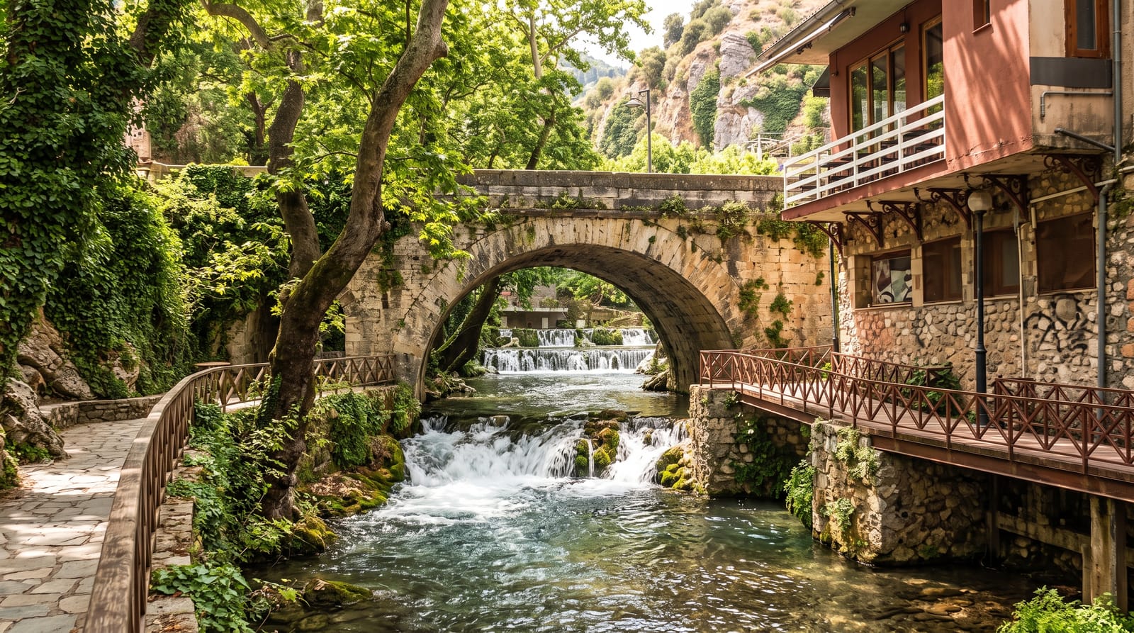
The spring emerges at the foot of the Atlas above Beni Mellal in enough volume to irrigate a substantial part of the plain below, and it is the reason the town is where it is - the name means the mule's spring, from a story about a mule that struck the rock. The water is led through a public garden of terraces, channels, small falls and planted beds, which is the town's park and is busy in the evenings and on Fridays with families. Above it on the ridge stands Borj Ras el-Ain, a small fort rebuilt in the eighteenth century on an older foundation, reached by a path or a road, from which the whole Tadla plain spreads out - irrigated green in the middle distance and dry beyond it. Beni Mellal's orange groves run on this water. It is a local park rather than a destination, and it is a good one.
The landscape
- A working irrigation spring - the water that made the Tadla plain farmable.
- Terraced water gardens - channels, falls and planting laid out below the source.
- Borj Ras el-Ain - an eighteenth-century hilltop fort above the springs.
- The plain from the ridge - irrigated green below and dry country beyond.
When to go
Spring and autumn; evenings when the town comes up. Two hours.
Things to know
It is a municipal park and busy at weekends and in the evenings. Litter is a recurring problem. The fort is small and largely a viewpoint. Summer heat on the plain is severe.
Nearby
Bin el-Ouidane lake is south; Beni Mellal is below.
What to pack for Ain Asserdoun Springs
Chosen from what this place is for. Tap a kit for the full checklist.
- Broken-in walking shoes or boots - Grip and ankle support matter more than looks; never hike in brand-new boots. Find on Amazon
- Layers + a waterproof shell - Mountain weather turns fast; a packable rain jacket saves the day. Find on Amazon
- Daypack with rain cover - 20-30 litres holds water, snacks, layers and a first-aid kit. Find on Amazon
- Offline maps + a power bank - Download the trail before you lose signal; carry backup charge. Find on Amazon
Some links on this page are Amazon affiliate links - if you buy through them we may earn a small commission at no extra cost to you.
All packing kitsPlan your trip
Where to start if Ain Asserdoun Springs is going on the list.
Booking links on this page are affiliate links - if you book through them we may earn a small commission at no extra cost to you. It never changes what we write about a place.
Opening times, ticket prices and seasonal closures change - check the official source before you go: official site.