Agadir Beach Promenade
Ten kilometres of sheltered bay with a paved seafront, and the beach that carried Moroccan mass tourism from the 1970s.
Updated 29 August 2026
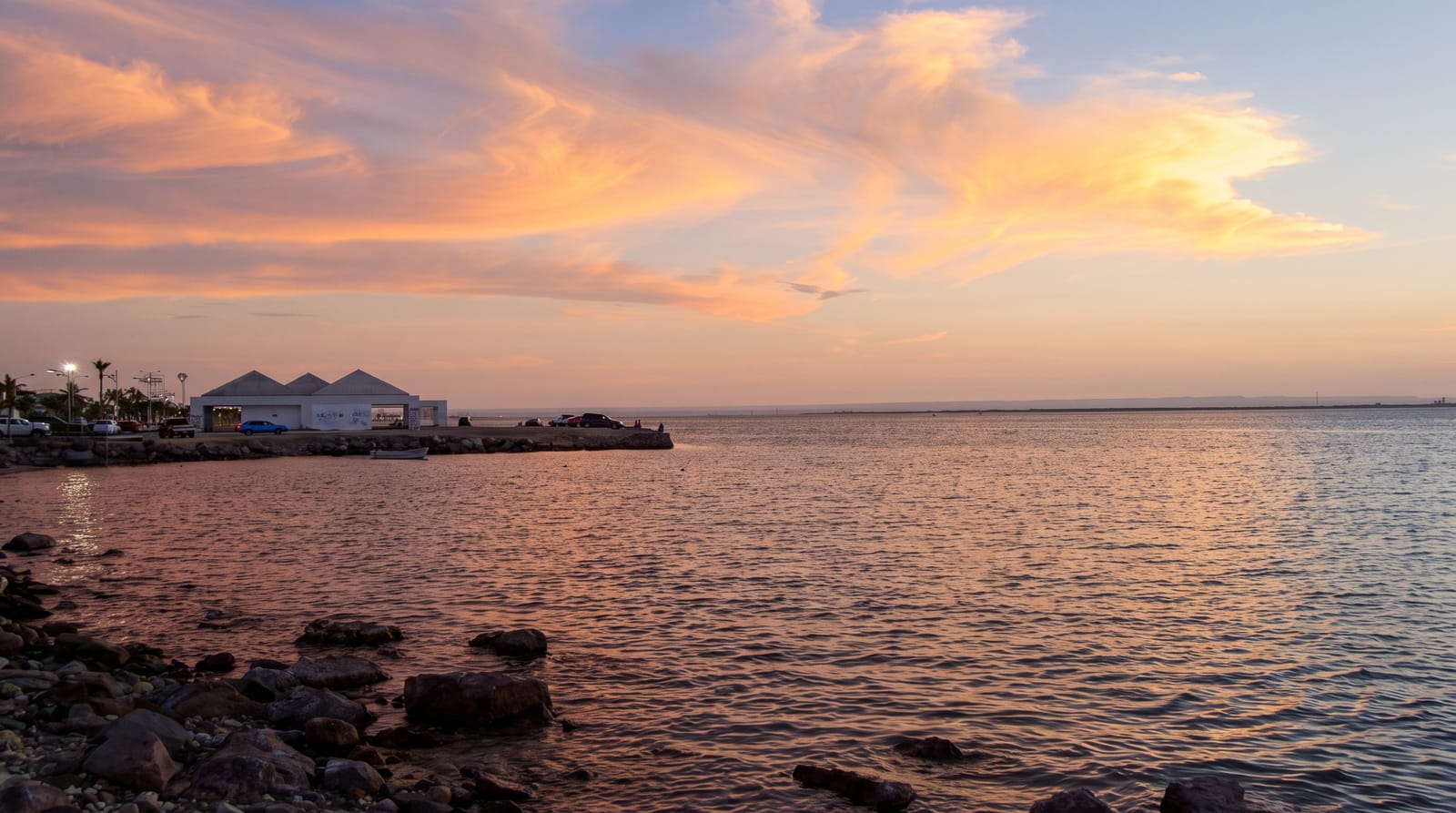
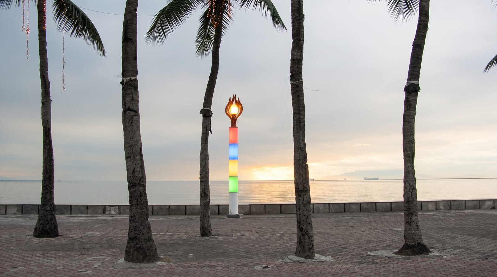
Agadir's bay curves for about ten kilometres and faces south-west, which shelters it from the prevailing north wind and makes the water calmer and the sun longer than on the exposed Atlantic coast either side - that geography is the whole reason the resort exists, and after the 1960 earthquake destroyed the city the rebuilding put a hotel strip along the beach and made Agadir the centre of Moroccan package tourism, which it still is. The promenade behind the sand is paved, planted and lit, with cafes, restaurants and the usual seafront trade, and is walked heavily in the evening by residents as much as visitors. Camel and horse rides work the sand. The water is Atlantic and cold by Mediterranean standards but warmer than further north, and lifeguards are posted in season. The city behind is entirely post-1960 and has no old quarter.
What to look for
- A sheltered south-west bay - the geography that made the resort possible.
- Ten kilometres of promenade - paved, planted and walked in the evening.
- A hotel strip - the rebuilding after 1960 that created Moroccan package tourism.
- Camels and horses - working the sand along the beach.
When to go
October to May; the shoulder months are warm and less crowded. Half a day.
Things to know
There is no old town - Agadir was rebuilt entirely after 1960. The strip is package-resort in character. Beach vendors and ride operators are persistent. The Atlantic is cold even in summer.
Nearby
The marina is at the northern end; the Souss estuary is south.
What to pack for Agadir Beach Promenade
Chosen from what this place is for. Tap a kit for the full checklist.
- Comfortable walking shoes - Sightseeing means kilometres of pavement and cobbles daily. Find on Amazon
- A slim anti-theft daypack - Zips that close properly; keep it in front in crowds and on transit. Find on Amazon
- A refillable water bottle - Many cities have public fountains; save money and plastic. Find on Amazon
- A light layer + compact umbrella - For museum air-con and a sudden shower. Find on Amazon
Some links on this page are Amazon affiliate links - if you buy through them we may earn a small commission at no extra cost to you.
All packing kitsPlan your trip
Where to start if Agadir Beach Promenade is going on the list.
Booking links on this page are affiliate links - if you book through them we may earn a small commission at no extra cost to you. It never changes what we write about a place.
Opening times, ticket prices and seasonal closures change - check the official source before you go: official site.