Tsambagarav Uul National Park
A glaciated massif rising alone to over four thousand metres between Bayan-Olgii and Khovd, sacred to local herders.
Updated 31 August 2026
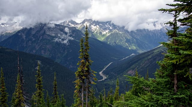
Tsambagarav stands apart from the main Altai chain, a broad massif topped by permanent ice with its high point, Tsast Uul, at around 4,200 metres, and because it rises alone from the surrounding steppe it dominates the view for a long way in every direction. Both Kazakh and Mongolian herders graze its flanks in summer, and the mountain is treated as sacred by both, with ovoo cairns on the approaches. The climb to the summit is a glacier route needing rope and crampons but no technical difficulty in good conditions, usually done over two or three days from a base camp reached by vehicle; the walking on the lower slopes needs nothing but boots. Marmots whistle across the pastures, and argali sheep and ibex live on the higher rock. The road between Olgii and Khovd runs past the northern side.
What you'll find
- The glaciated summit - permanent ice above four thousand metres.
- Herder pastures - Kazakh and Mongolian camps on the flanks.
- Ovoo cairns - the sacred stone piles on approaches and passes.
- Wildlife - marmots, argali and ibex on the slopes.
When to go
June to September; the glacier route is best in July and August when the weather is most settled. Snow can fall in any month at altitude. The lower pastures are green and full of herders through the summer.
Before you go
Climbing needs glacier equipment and a guide; it is not a walk-up despite the modest technical grade. There is no infrastructure, so everything is camping and hired transport. Weather changes fast and whiteouts happen. The nearest supplies are in Olgii or Khovd.
Nearby
Olgii is northwest; Khovd city and its lakes lie southeast.
Key facts
Source: Wikidata, item Q4503069, read on 18 October 2026.
What to pack for Tsambagarav Uul National Park
Chosen from what this place is for. Tap a kit for the full checklist.
- Broken-in walking shoes or boots - Grip and ankle support matter more than looks; never hike in brand-new boots. Find on Amazon
- Binoculars - The single best wildlife tool - even a compact pair transforms a sighting. Find on Amazon
- Warm base layers - Merino or synthetic against the skin - never cotton, which chills when damp. Find on Amazon
- Layers for big temperature swings - Warm sun by day, near-freezing at night, even near the equator. Find on Amazon
Some links on this page are Amazon affiliate links - if you buy through them we may earn a small commission at no extra cost to you.
All packing kitsPlan your trip
Where to start if Tsambagarav Uul National Park is going on the list.
Booking links on this page are affiliate links - if you book through them we may earn a small commission at no extra cost to you. It never changes what we write about a place.
Opening times, ticket prices and seasonal closures change - check the official source before you go: official site.