Rodrigues Island
An autonomous outer island 560 km east of Mauritius, hilly and Creole, ringed by a lagoon twice its own size.
Updated 20 October 2026
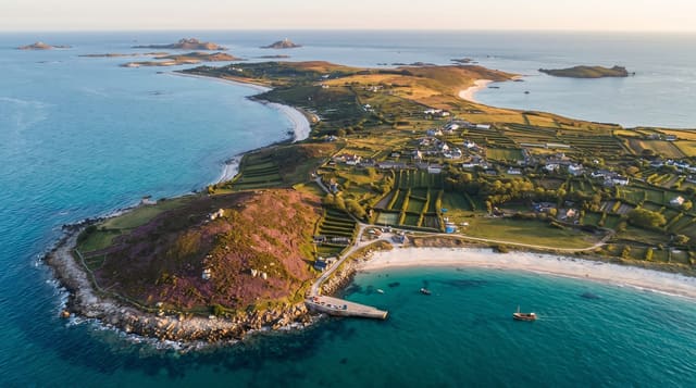
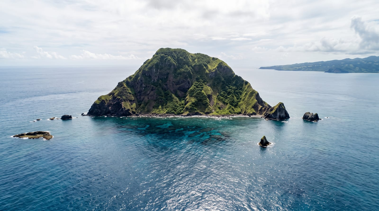
Rodrigues lies 560 kilometres east of Mauritius, an island of 108 square kilometres that is the eroded top of a volcano, hilly and dry, surrounded by a lagoon roughly twice the island's own area and enclosed by a reef several kilometres out. It has been autonomous within Mauritius since 2002, with its own assembly, and its character is markedly different from the main island: overwhelmingly Creole, largely Catholic, agricultural and fishing based, with small settlements, few cars by comparison and no resort development of the Mauritian kind. Octopus fishing on the reef flats at low tide is central to the economy and is now managed by seasonal closures. Walking trails cross the interior ridges, and the outer islets in the lagoon are seabird reserves.
History
The island is named after the Portuguese explorer Diogo Rodrigues, who came upon it uninhabited in 1528. Arabs are known to have visited the Mascarenes from the 10th century, and the Cantino planisphere of about 1500 already shows the three islands as Dina Arobi, Dina Margabin and Dina Moraze (Wikipedia, Rodrigues).
The landscape
- The lagoon - shallow water twice the island's area inside a distant reef.
- Octopus fishing - the reef flats worked at low tide.
- Interior ridges - the hills and walking trails across the island.
- Creole village life - the small settlements and markets.
When to go
May to December for the cooler, drier season. January to March is hot, humid and within the cyclone season. The octopus fishery closes for parts of the year, which affects what is seen and eaten.
Practical notes
Facilities are simple: guesthouses and small hotels rather than resorts, and limited public transport. Flights are the only practical access and are expensive relative to the distance. Water shortages are a recurring issue. Beaches often need a walk to reach.
Nearby
Port Mathurin is the capital; Ile aux Cocos lies in the western lagoon.
Key facts
Source: Wikidata, item Q208668, read on 18 October 2026.
What to pack for Rodrigues Island
Chosen from what this place is for. Tap a kit for the full checklist.
- Travel rod + reel - A packable multi-piece rod fits in a case and covers most holiday fishing. Find on Amazon
- Reef-safe sunscreen - High SPF that will not bleach the coral you are swimming over. Find on Amazon
- Strong insect repellent - DEET or picaridin; the jungle is where bites and disease risk are highest. Find on Amazon
- A small tackle selection - Hooks, weights, line and a few lures or flies suited to local waters. Find on Amazon
Some links on this page are Amazon affiliate links - if you buy through them we may earn a small commission at no extra cost to you.
All packing kitsPlan your trip
Where to start if Rodrigues Island is going on the list.
Booking links on this page are affiliate links - if you book through them we may earn a small commission at no extra cost to you. It never changes what we write about a place.
Opening times, ticket prices and seasonal closures change - check the official source before you go: official site.