Victoria Lines
A British defensive wall running twelve kilometres across Malta along a natural fault escarpment.
Updated 20 October 2026
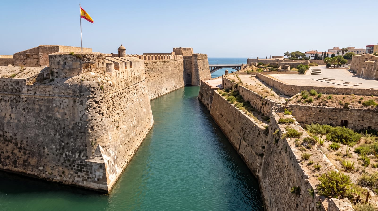
The Victoria Lines run right across Malta from the west coast at Fomm ir-Riħ to Madliena in the east, about twelve kilometres of wall, forts and batteries built by the British between 1875 and 1899 along the Great Fault, a natural escarpment that already divided the island. They were named for the queen's diamond jubilee in 1897 and were obsolete almost at once. Much of the wall survives and a walking route follows it, with three forts along the way.
History
The Order of Saint John had already thought of using the Great Fault as a line in the early 18th century. Work on what was first called the North-West Front began in 1875 with a string of separate forts and batteries; once linked by an infantry line, the works were named the Victoria Lines for Queen Victoria's Diamond Jubilee in 1897, and the last stretches were completed on 6 November 1899 (Wikipedia, Victoria Lines).
What to look for
- The continuous wall - twelve kilometres of infantry wall along the escarpment.
- The forts - Bingemma, Mosta and Madliena, spaced along the line.
- The Great Fault - the natural cliff the defences were built to exploit.
- The walking route - the marked path following the line across the island.
When to go
October to May is best for walking; the line is exposed and summer heat is severe. Spring brings flowers along the escarpment. Winter can be muddy in places.
Good to know
Sections of the line are ruined, overgrown or on private land, and the route is not continuous. Some forts are closed or in military use. There is no shade and little water along the way.
Nearby
Mosta is south, and Mgarr is west.
Key facts
Source: Wikidata, item Q633017, read on 18 October 2026.
What to pack for Victoria Lines
Chosen from what this place is for. Tap a kit for the full checklist.
- Comfortable walking shoes - Sightseeing means kilometres of pavement and cobbles daily. Find on Amazon
- A slim anti-theft daypack - Zips that close properly; keep it in front in crowds and on transit. Find on Amazon
- A refillable water bottle - Many cities have public fountains; save money and plastic. Find on Amazon
- A light layer + compact umbrella - For museum air-con and a sudden shower. Find on Amazon
Some links on this page are Amazon affiliate links - if you buy through them we may earn a small commission at no extra cost to you.
All packing kitsPlan your trip
Where to start if Victoria Lines is going on the list.
Booking links on this page are affiliate links - if you book through them we may earn a small commission at no extra cost to you. It never changes what we write about a place.
Opening times, ticket prices and seasonal closures change - check the official source before you go: official site.