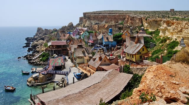
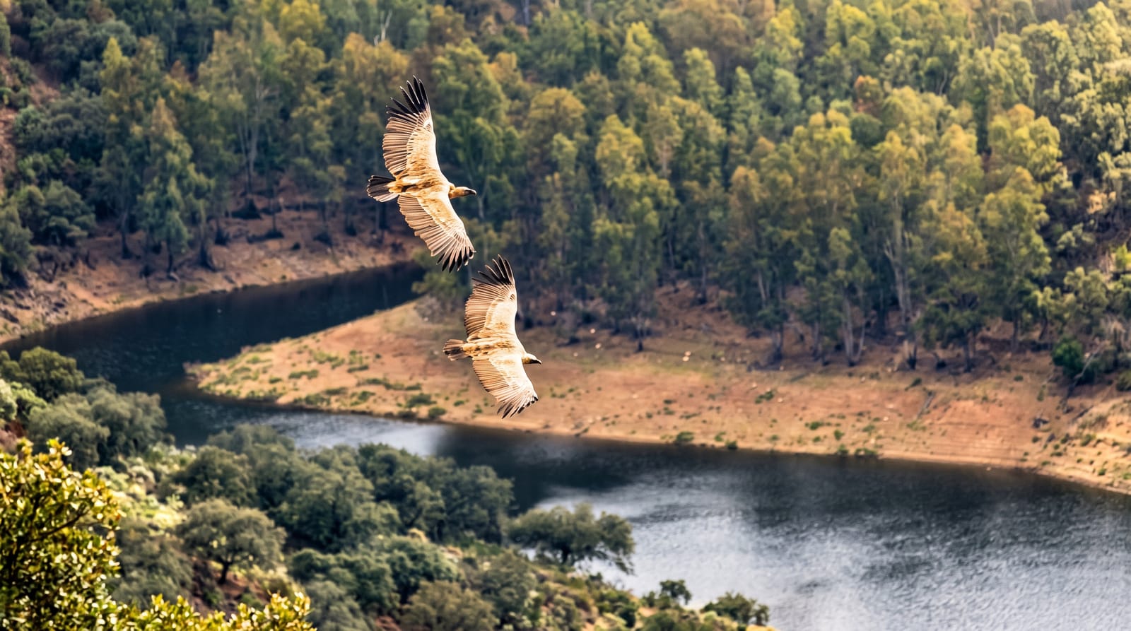
Majjistral Nature and History Park
Malta's first national park, a stretch of undeveloped northwestern coast with garrigue, cliffs and cart ruts.
Updated 16 October 2026
Majjistral was declared in 2007 as Malta's first national park, protecting a strip of the northwestern coast between Golden Bay and Anchor Bay that had escaped development: garrigue and steppe on the clifftop, sea cliffs and small coves below, and archaeological features including cart ruts, tombs and old salt pans. It is one of the few places on the island where the pre-agricultural vegetation and open coastal landscape survive at any scale.
Background
The park lies in Mellieha and runs from Golden Bay, Il-Mixquqa in Maltese, as far as Il-Prajjet and Ix-Xagħra l-Ħamra. Its name comes from the Maltese word for the northwestern region or wind, Majjistral. Declared in September 2007, it protects 6 kilometres of coast that belong to a larger Special Area of Conservation in the Natura 2000 network. More than 350 species of wild plants grow here, some endemic, sub-endemic or rare, and over 1300 plants have been planted, among them carob, olives, lentisk, evergreen oak, myrtle, sandarac gum tree and golden samphire. At least ten bird species nest in the park, six of them resident all year.
Source: Wikipedia, "Majjistral Park"
What's there
- The garrigue - low aromatic scrub covering the clifftop plateau.
- The cliffs and coves - the undeveloped shoreline below the plateau.
- The cart ruts - prehistoric grooves cut into the rock within the park.
- The salt pans - old rock-cut pans on the shoreline.
When to go
October to May is best; the plateau is fully exposed and summer heat is severe. Spring brings flowers on the garrigue. Winter storms make the cliff paths uncomfortable.
Before you go
There is no shade at all and water must be carried. Paths are informal and marking is limited. Off-road driving and illegal hunting inside the park remain problems.
Nearby
Golden Bay is south, and Ghajn Tuffieha is beyond it.
Key facts
Source: Wikidata, item Q96391580, read on 18 October 2026.
What to pack for Majjistral Nature and History Park
Chosen from what this place is for. Tap a kit for the full checklist.
- Broken-in walking shoes or boots - Grip and ankle support matter more than looks; never hike in brand-new boots. Find on Amazon
- Layers + a waterproof shell - Mountain weather turns fast; a packable rain jacket saves the day. Find on Amazon
- Daypack with rain cover - 20-30 litres holds water, snacks, layers and a first-aid kit. Find on Amazon
- Offline maps + a power bank - Download the trail before you lose signal; carry backup charge. Find on Amazon
Some links on this page are Amazon affiliate links - if you buy through them we may earn a small commission at no extra cost to you.
All packing kitsPlan your trip
Where to start if Majjistral Nature and History Park is going on the list.
Booking links on this page are affiliate links - if you book through them we may earn a small commission at no extra cost to you. It never changes what we write about a place.
Opening times, ticket prices and seasonal closures change - check the official source before you go: official site.