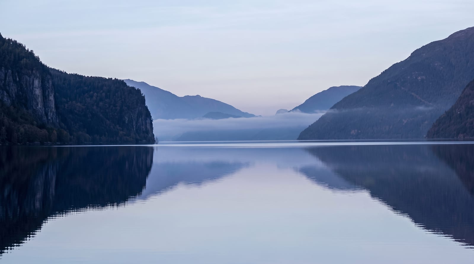
Timah Tasoh Lake
A shallow Perlis reservoir with drowned trees standing in it, good for birds and for sunsets over the limestone hills.
Updated 29 August 2026
Timah Tasoh was formed in the early 1990s by damming two rivers north of Kangar for water supply and flood control, and it covers about thirteen square kilometres of shallow water with the limestone hills of the Nakawan range behind it. Because it is shallow and was flooded over farmland and scrub, dead trees still stand out of the surface in stands, which gives it a distinctive look and provides perches for birds - and birds are the reason most people who come deliberately come at all: herons, egrets, terns, raptors, and migratory waterfowl through the northern winter, including species scarce elsewhere in the peninsula. There is a dam road, a few fishing spots and a park with a jetty. Sunset behind the hills is the other draw, and it is a local evening habit.
Highlights
- Drowned trees standing in water - stands of dead trunks used as bird perches.
- A long bird list - herons, terns, raptors and winter migrants on the shallows.
- Limestone hills behind - the Nakawan range closing the northern shore.
- The dam and jetty - the fishing spots and evening viewpoints.
When to go
All year; migrants November to March; evenings for the light. Half a day.
Good to know
There is little infrastructure and no boat hire on a regular basis. Water levels change with the season and can leave mud. It is exposed and very hot in the middle of the day.
Nearby
Kangar is south; Gua Kelam and Perlis State Park are north.
What to pack for Timah Tasoh Lake
Chosen from what this place is for. Tap a kit for the full checklist.
- Travel rod + reel - A packable multi-piece rod fits in a case and covers most holiday fishing. Find on Amazon
- Reef-safe sunscreen - High SPF that will not bleach the coral you are swimming over. Find on Amazon
- A small tackle selection - Hooks, weights, line and a few lures or flies suited to local waters. Find on Amazon
- Quick-dry towel - A microfibre towel packs small and dries in minutes. Find on Amazon
Some links on this page are Amazon affiliate links - if you buy through them we may earn a small commission at no extra cost to you.
All packing kitsPlan your trip
Where to start if Timah Tasoh Lake is going on the list.
Booking links on this page are affiliate links - if you book through them we may earn a small commission at no extra cost to you. It never changes what we write about a place.
Opening times, ticket prices and seasonal closures change - check the official source before you go: official site.