Tanjung Datu National Park
Sarawak's smallest and most remote park, at the far western tip, reached only by boat when the sea allows.
Updated 29 August 2026
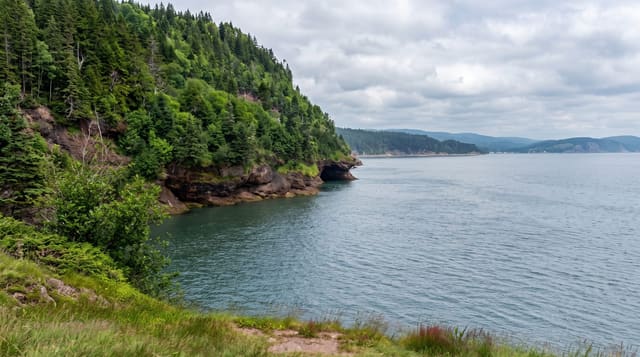
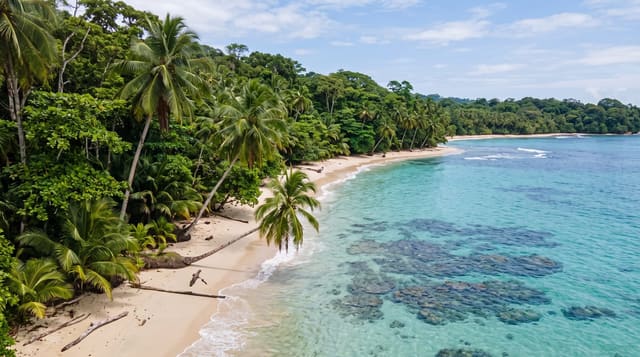
Tanjung Datu sits at the extreme western tip of Sarawak on the Indonesian border, covering about fourteen square kilometres - the smallest national park in the state and the hardest to reach: there is no road, and access is by small boat from Sematan across an hour of open sea, which is impossible during the north-east monsoon and unreliable outside it. What is there is intact: steep forested hills coming down to clear water, coral close inshore, and beaches where green and hawksbill turtles nest, with almost nobody on them because visitor numbers are limited by the boats and the accommodation, which is a handful of basic chalets booked in advance. Bearded pigs, macaques, hornbills and the occasional Bornean gibbon are in the forest. It is the sort of place that requires effort in proportion to what it gives.
What you'll find
- Sarawak's smallest park - fourteen square kilometres at the western tip.
- Boat access only - an hour of open sea from Sematan, weather permitting.
- Turtle nesting beaches - green and hawksbill, with very few people on them.
- Forest to the waterline - steep hills meeting clear water and inshore coral.
When to go
March to September; the monsoon closes it. Two days.
What to expect
Boats do not run in rough weather and trips are cancelled at short notice - build in slack. Accommodation is a handful of basic chalets and must be booked well ahead. There are no shops; bring what you need.
Nearby
Sematan is the departure point; Talang-Satang turtle islands are east.
Key facts
Source: Wikidata, item Q7683409, read on 18 October 2026.
What to pack for Tanjung Datu National Park
Chosen from what this place is for. Tap a kit for the full checklist.
- Broken-in walking shoes or boots - Grip and ankle support matter more than looks; never hike in brand-new boots. Find on Amazon
- Reef-safe sunscreen - High SPF that will not bleach the coral you are swimming over. Find on Amazon
- Binoculars - The single best wildlife tool - even a compact pair transforms a sighting. Find on Amazon
- Strong insect repellent - DEET or picaridin; the jungle is where bites and disease risk are highest. Find on Amazon
Some links on this page are Amazon affiliate links - if you buy through them we may earn a small commission at no extra cost to you.
All packing kitsPlan your trip
Where to start if Tanjung Datu National Park is going on the list.
Booking links on this page are affiliate links - if you book through them we may earn a small commission at no extra cost to you. It never changes what we write about a place.
Opening times, ticket prices and seasonal closures change - check the official source before you go: official site.