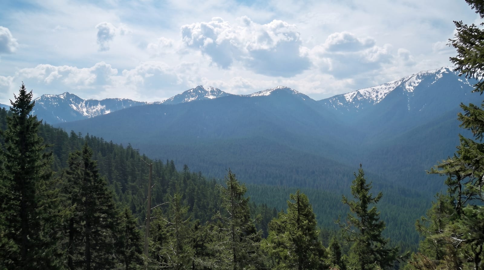
Gunung Ledang
Johor's highest mountain, a hard 1,276-metre climb wrapped in the legend of a princess who set impossible terms.
Updated 20 October 2026
Gunung Ledang stands alone on the Johor-Malacca border at 1,276 metres, visible for a long way across flat country, and it is one of the best known mountains in the peninsula for reasons that are as much literary as topographic: the Malay Annals tell of a princess of Ledang who, pressed to marry the Sultan of Malacca, set a bride price of seven trays of mosquito hearts and a bowl of her son's blood, which ended the matter. The climb itself is short in distance and brutal in gradient, with roped sections, a gully and a lot of scrambling; the standard Sagil route takes five to six hours up. A quota limits daily numbers and registration is compulsory. The summit is often in cloud. The lower part of the Sagil side has a waterfall and a park that most visitors go to instead of climbing.
History
The attested origin of the name is Javanese, from the time of the Majapahit empire, when the mountain was called Gunong Ledang, "lofty mountain", from an Old Javanese word ledang (Wikipedia, Mount Ledang).
What you'll find
- A steep roped climb - gullies and scrambles rather than a graded path.
- A freestanding peak - 1,276 metres visible far across the Johor plain.
- The Sagil falls and park - the easy option at the foot of the mountain.
- The legend of the princess - the impossible bride price from the Malay Annals.
When to go
All year; avoid rain. A full day; start very early.
Good to know
A permit and quota apply and turning up without one means no climb. Five to six hours up, with genuinely steep roped sections. The summit is frequently clouded. Rain makes the rock and roots dangerous.
Nearby
Tangkak and Sagil are at the foot; Malacca is west.
Key facts
Source: Wikidata, item Q8520849, read on 18 October 2026.
What to pack for Gunung Ledang
Chosen from what this place is for. Tap a kit for the full checklist.
- Broken-in walking shoes or boots - Grip and ankle support matter more than looks; never hike in brand-new boots. Find on Amazon
- Layers for big temperature swings - Warm sun by day, near-freezing at night, even near the equator. Find on Amazon
- Layers + a waterproof shell - Mountain weather turns fast; a packable rain jacket saves the day. Find on Amazon
- Extra-strong sun protection - Thin air means fierce UV; hat, sunglasses and high-SPF sunscreen. Find on Amazon
Some links on this page are Amazon affiliate links - if you buy through them we may earn a small commission at no extra cost to you.
All packing kitsPlan your trip
Where to start if Gunung Ledang is going on the list.
Booking links on this page are affiliate links - if you book through them we may earn a small commission at no extra cost to you. It never changes what we write about a place.
Opening times, ticket prices and seasonal closures change - check the official source before you go: official site.