Gunung Datuk
A short steep climb in Negeri Sembilan ending on a granite boulder summit with ladders and a wide view.
Updated 29 August 2026
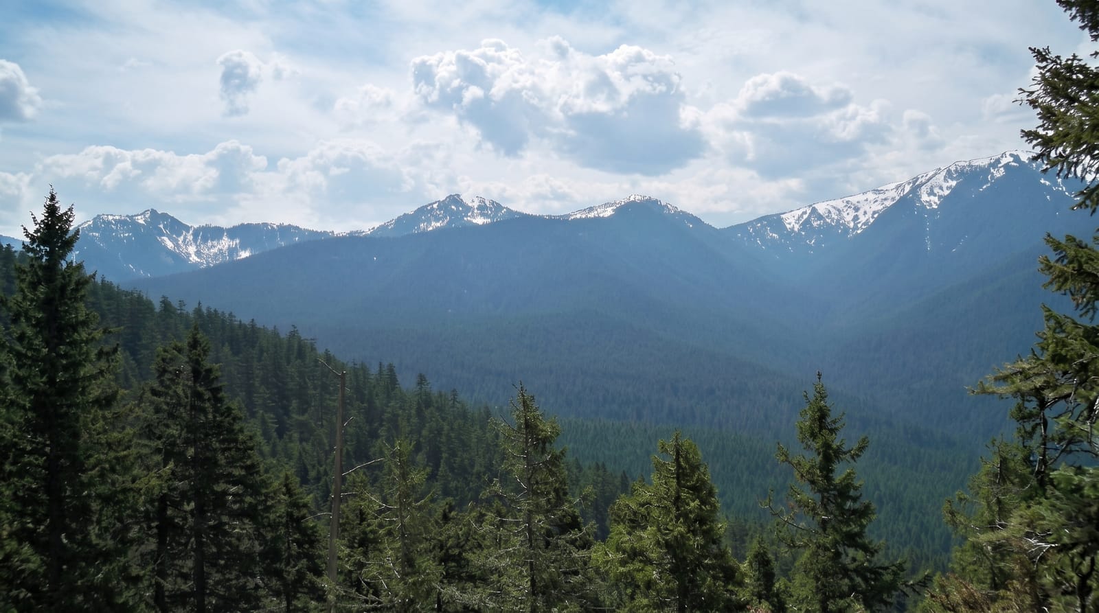
Gunung Datuk rises to 884 metres above the Rembau district and is one of the most popular short hikes in southern peninsular Malaysia, largely because the effort-to-payoff ratio is good: about two hours up on a clear, well-used trail, steep in the middle section and root-laden, ending at a jumble of enormous granite boulders that form the summit. The last part is a scramble aided by fixed metal ladders and ropes bolted to the rock, which is the bit people photograph, and the top gives an open view across Negeri Sembilan to the Malacca Strait on a clear morning. The mountain carries local legend as the resting place of a chieftain, which is where the name comes from. Weekend mornings bring queues at the ladders. Start early: the view closes in by mid-morning and the descent on wet rock is unpleasant.
What you'll find
- A boulder summit - enormous granite blocks piled at the top.
- Ladders and ropes - fixed aids for the final scramble onto the rock.
- A wide view - across Negeri Sembilan to the Strait on a clear morning.
- A steep two-hour trail - well used, rooted and direct.
When to go
All year; early morning for the view. Half a day.
Things to know
The final ladders are exposed and queue badly at weekends. Rock is slippery when wet and the descent is where people get hurt. Haze often blocks the view; cloud closes it by mid-morning.
Nearby
Rembau and Seremban are north; Port Dickson is west.
Key facts
Source: Wikidata, item Q12687258, read on 18 October 2026.
What to pack for Gunung Datuk
Chosen from what this place is for. Tap a kit for the full checklist.
- Broken-in walking shoes or boots - Grip and ankle support matter more than looks; never hike in brand-new boots. Find on Amazon
- Layers for big temperature swings - Warm sun by day, near-freezing at night, even near the equator. Find on Amazon
- Layers + a waterproof shell - Mountain weather turns fast; a packable rain jacket saves the day. Find on Amazon
- Extra-strong sun protection - Thin air means fierce UV; hat, sunglasses and high-SPF sunscreen. Find on Amazon
Some links on this page are Amazon affiliate links - if you buy through them we may earn a small commission at no extra cost to you.
All packing kitsPlan your trip
Where to start if Gunung Datuk is going on the list.
Booking links on this page are affiliate links - if you book through them we may earn a small commission at no extra cost to you. It never changes what we write about a place.
Opening times, ticket prices and seasonal closures change - check the official source before you go: official site.