Gunung Baling
A limestone tower over the town of Baling, climbed in an hour on ropes to a narrow rock summit.
Updated 29 August 2026
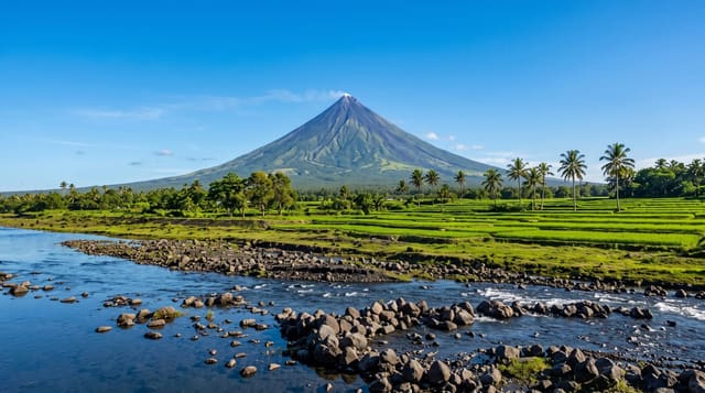
Gunung Baling is a limestone karst tower standing directly behind the town of the same name, only about six hundred metres high but almost vertical on its exposed side, and the climb has become one of the more popular short hikes in northern Malaysia precisely because it delivers a genuine summit feeling in about an hour of effort. The route is steep from the first minute, with fixed ropes on the rock steps and some scrambling where hands are needed, and it finishes on a narrow ridge of bare karst with the town, the paddy fields and the surrounding hills laid out below and nothing between you and the drop. Registration at the base is required and the trail closes in wet conditions, since limestone is treacherous when wet and there have been accidents.
The landscape
- A vertical karst tower - rising straight out of the plain behind the town.
- Fixed ropes and scrambling - hands needed on the steep rock steps.
- A narrow bare summit - exposed karst ridge with unprotected drops.
- The Baling plain - town, paddy and hills spread out below.
When to go
All year; early morning, dry conditions only. Half a day.
Practical notes
The summit is exposed with no railings and the rock is sharp; it is not suitable for anyone uneasy with heights. Wet limestone is genuinely dangerous and the trail closes for it. Registration is compulsory.
Nearby
Baling town is at the foot; Pedu Lake is north.
What to pack for Gunung Baling
Chosen from what this place is for. Tap a kit for the full checklist.
- Broken-in walking shoes or boots - Grip and ankle support matter more than looks; never hike in brand-new boots. Find on Amazon
- Layers for big temperature swings - Warm sun by day, near-freezing at night, even near the equator. Find on Amazon
- Layers + a waterproof shell - Mountain weather turns fast; a packable rain jacket saves the day. Find on Amazon
- Extra-strong sun protection - Thin air means fierce UV; hat, sunglasses and high-SPF sunscreen. Find on Amazon
Some links on this page are Amazon affiliate links - if you buy through them we may earn a small commission at no extra cost to you.
All packing kitsPlan your trip
Where to start if Gunung Baling is going on the list.
Booking links on this page are affiliate links - if you book through them we may earn a small commission at no extra cost to you. It never changes what we write about a place.
Opening times, ticket prices and seasonal closures change - check the official source before you go: official site.