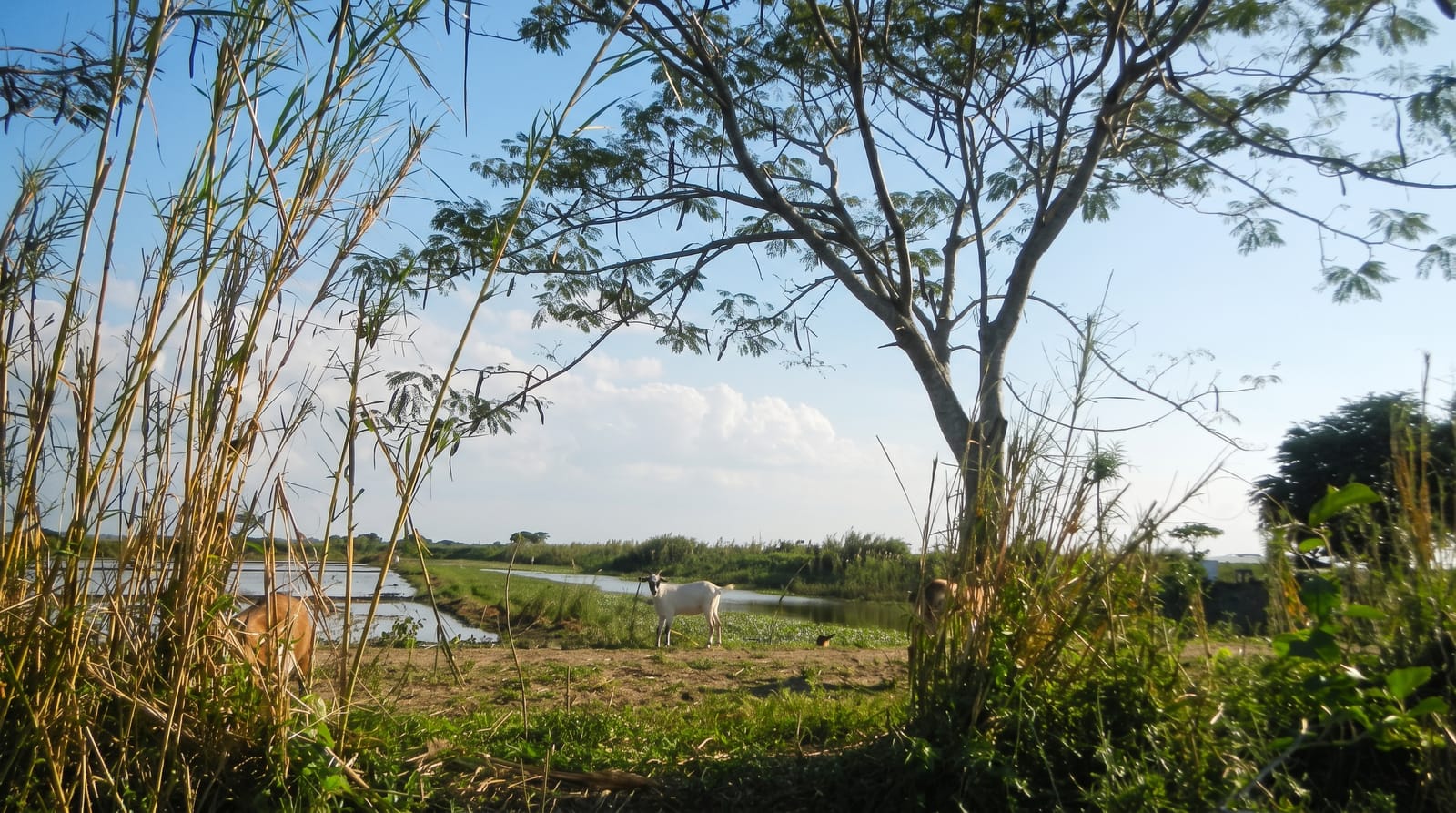
Mesurado Wetlands
A mangrove wetland on the edge of Monrovia, a Ramsar site under heavy pressure.
Updated 3 September 2026
The Mesurado wetlands wrap around the edge of Monrovia, a system of mangrove, creek and open water designated a Ramsar site, holding herons, kingfishers, waders and a nursery for the fish the local trade depends on. It sits directly against a growing city, which is the problem: encroachment, filling and dumping have taken large areas and continue to. Boats work the creeks from several points.
Highlights
- The mangrove creeks - the channels running behind the city.
- The waterbirds - herons, kingfishers and waders on the flats.
- The fish nursery - the role the wetland plays in the local fishery.
- The city edge - a Ramsar wetland pressed directly against a capital.
When to go
November to April is the dry season and best for birds. Tide governs the creeks. The heavy rains from May raise water levels.
What to expect
Encroachment, filling and dumping have badly degraded large parts of the wetland. There is no visitor infrastructure and boats must be arranged locally. Water quality near the city is poor.
Nearby
Monrovia is beside it, and Providence Island is at the river mouth.
Key facts
Source: Wikidata, item Q27466463, read on 18 October 2026.
What to pack for Mesurado Wetlands
Chosen from what this place is for. Tap a kit for the full checklist.
- Broken-in walking shoes or boots - Grip and ankle support matter more than looks; never hike in brand-new boots. Find on Amazon
- Layers + a waterproof shell - Mountain weather turns fast; a packable rain jacket saves the day. Find on Amazon
- Daypack with rain cover - 20-30 litres holds water, snacks, layers and a first-aid kit. Find on Amazon
- Offline maps + a power bank - Download the trail before you lose signal; carry backup charge. Find on Amazon
Some links on this page are Amazon affiliate links - if you buy through them we may earn a small commission at no extra cost to you.
All packing kitsPlan your trip
Where to start if Mesurado Wetlands is going on the list.
Booking links on this page are affiliate links - if you book through them we may earn a small commission at no extra cost to you. It never changes what we write about a place.
Opening times, ticket prices and seasonal closures change - check the official source before you go: official site.