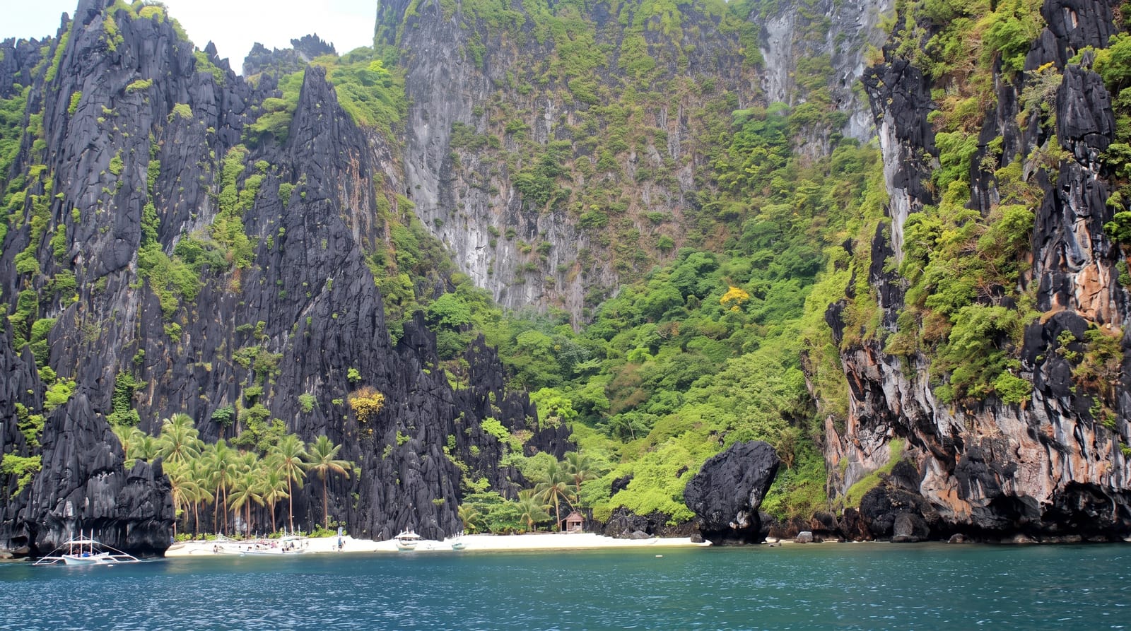
Tarawa Lagoon
The large lagoon South Tarawa is built around, shallow and heavily used.
Updated 3 September 2026
Tarawa lagoon is the water the atoll encloses, a shallow triangle some twenty kilometres across with the causeway-linked villages of South Tarawa strung along its southern rim and North Tarawa's quieter islets on the eastern side. Fishing canoes work it, the tide moves a long way across the flats, and the whole population of the capital lives on its edge. South Tarawa holds around half the country's population on a strip of land a few hundred metres wide in places.
Highlights
- The scale - a lagoon some twenty kilometres across.
- The tidal flats - the ground the water uncovers twice a day.
- The fishing canoes - the craft worked across the lagoon.
- The causeway villages - South Tarawa strung along the southern rim.
When to go
April to October is the drier and calmer season. Tide governs everything on the flats. The wet season brings heavier weather.
Practical notes
Water quality near South Tarawa is poor because of population pressure and poor sanitation. Swimming near the settled areas is not advisable. Boat trips must be arranged locally.
Nearby
North Tarawa is northeast, and Abaiang is north.
What to pack for Tarawa Lagoon
Chosen from what this place is for. Tap a kit for the full checklist.
- Broken-in walking shoes or boots - Grip and ankle support matter more than looks; never hike in brand-new boots. Find on Amazon
- Travel rod + reel - A packable multi-piece rod fits in a case and covers most holiday fishing. Find on Amazon
- Reef-safe sunscreen - High SPF that will not bleach the coral you are swimming over. Find on Amazon
- Quick-dry clothing - Board shorts or synthetics that shrug off spray and dry fast. Find on Amazon
Some links on this page are Amazon affiliate links - if you buy through them we may earn a small commission at no extra cost to you.
All packing kitsPlan your trip
Where to start if Tarawa Lagoon is going on the list.
Booking links on this page are affiliate links - if you book through them we may earn a small commission at no extra cost to you. It never changes what we write about a place.
Opening times, ticket prices and seasonal closures change - check the official source before you go: official site.