Lake Chuzenji
A lake dammed by lava at 1,269 metres above Nikko, reached by paired roads of forty-eight hairpin bends.
Updated 21 October 2026
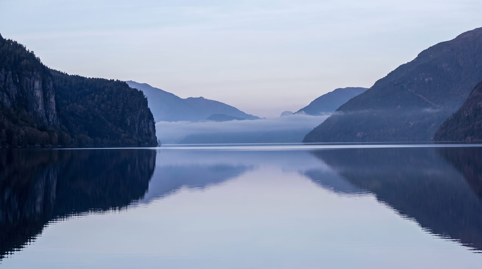
Nantai erupted around twenty thousand years ago and its lava dammed the Daiya valley, creating Chuzenji at 1,269 metres - the highest lake of its size in Japan, and cold enough that the shore resorts were built as summer escapes, including a string of foreign embassy villas built from the late nineteenth century into the early twentieth, two of which are now open as museums. The road up from Nikko is the Irohazaka, a one-way pair of routes with forty-eight hairpins between them named for the syllables of the old Japanese alphabet, and it is one of the most congested roads in the country in the middle of October when the colour peaks. Kegon Falls drops 97 metres from the lake's outflow immediately beside the road, with a lift down to a viewing platform at the base. Boats cruise the lake and the Senjogahara marsh boardwalk starts above it.
The landscape
- A lava-dammed lake - at 1,269 metres, the highest of its size in Japan.
- The Irohazaka - hairpin roads named for the syllables of the old alphabet.
- Kegon Falls - a 97-metre drop at the outflow, with a lift to the base.
- Embassy villas - summer houses from the late 1800s and early 1900s, two open as museums.
When to go
Mid-October for the colour; May to October otherwise. A day.
Things to know
October traffic on the Irohazaka is severe - delays of hours are normal. Winter closes much of the area and the lake shore empties. Cloud sits on the lake often. Kegon's lift is charged separately.
Nearby
Nikko's shrines are below the pass; Senjogahara marsh is above the lake.
Key facts
Source: Wikidata, item Q117923, read on 18 October 2026.
What to pack for Lake Chuzenji
Chosen from what this place is for. Tap a kit for the full checklist.
- Reef-safe sunscreen - High SPF that will not bleach the coral you are swimming over. Find on Amazon
- Modest clothing - Shoulders and knees covered - the single most common requirement. Find on Amazon
- Quick-dry towel - A microfibre towel packs small and dries in minutes. Find on Amazon
- A scarf or shawl - To cover the head or shoulders on entry; women especially at mosques. Find on Amazon
Some links on this page are Amazon affiliate links - if you buy through them we may earn a small commission at no extra cost to you.
All packing kitsPlan your trip
Where to start if Lake Chuzenji is going on the list.
Booking links on this page are affiliate links - if you book through them we may earn a small commission at no extra cost to you. It never changes what we write about a place.
Opening times, ticket prices and seasonal closures change - check the official source before you go: official site.