Lake Kossou
A vast reservoir on the Bandama at the centre of the country, created in 1973 and dotted with drowned villages.
Updated 19 October 2026
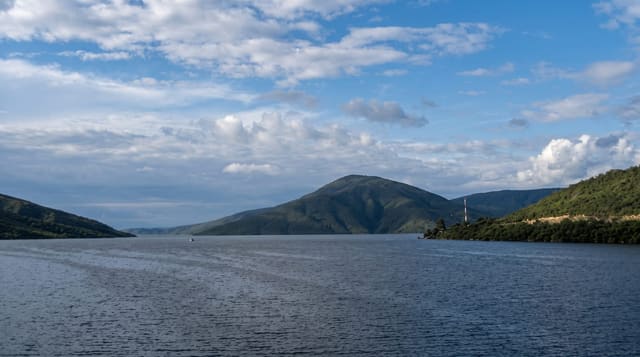
Lake Kossou was created in 1973 when the Bandama was dammed at Kossou, flooding a large area of Baoulé country and displacing tens of thousands of people whose villages are under the water. It is generally counted the largest lake in the country, irregular and island-scattered, and fishing communities work it from pirogues. Dead trees still stand in the shallows in places, and the shoreline is a mix of farmland, fishing settlements and open water.
History
The lake was created in 1973 by the Kossou Dam on the Bandama, built under the United Nations Development Programme, and some 75,000 people from 200 settlements were moved to 54 new villages. The earth and rockfill dam is about 1,500 m long and drives a hydroelectric plant of 174 megawatts (Wikipedia, Lake Kossou).
The landscape
- The lake - generally counted the largest body of water in the country, island-scattered.
- The drowned villages - settlements under the water since the 1973 flooding.
- The standing dead trees - trunks still visible in the shallows.
- The fishing pirogues - communities working the lake from the shore villages.
When to go
November to February is the dry season and the most comfortable. Water levels drop through the dry season and expose more of the old ground. The rains from June to October raise the lake.
Before you go
There is no visitor infrastructure and boats are arranged informally with fishermen. Bilharzia is present and swimming is not advisable. Access roads to the shore are rough.
Nearby
Yamoussoukro is south, and Bouake is east.
Key facts
Source: Wikidata, item Q267679, read on 18 October 2026.
What to pack for Lake Kossou
Chosen from what this place is for. Tap a kit for the full checklist.
- Broken-in walking shoes or boots - Grip and ankle support matter more than looks; never hike in brand-new boots. Find on Amazon
- Travel rod + reel - A packable multi-piece rod fits in a case and covers most holiday fishing. Find on Amazon
- Reef-safe sunscreen - High SPF that will not bleach the coral you are swimming over. Find on Amazon
- Layers + a waterproof shell - Mountain weather turns fast; a packable rain jacket saves the day. Find on Amazon
Some links on this page are Amazon affiliate links - if you buy through them we may earn a small commission at no extra cost to you.
All packing kitsPlan your trip
Where to start if Lake Kossou is going on the list.
Booking links on this page are affiliate links - if you book through them we may earn a small commission at no extra cost to you. It never changes what we write about a place.
Opening times, ticket prices and seasonal closures change - check the official source before you go: official site.