Valentia Island
A Kerry island reached by bridge, holding fossil footprints some 385 million years old, a cliff viewpoint and an old telegraph station.
Updated 19 October 2026
AI illustration
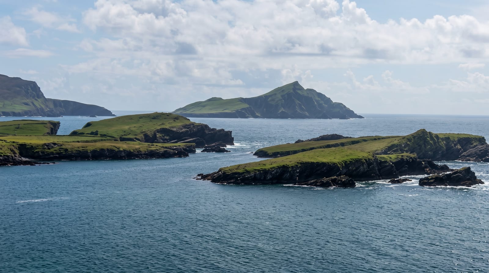
Valentia lies off the Iveragh Peninsula and is reached by a bridge at Portmagee or, in summer, a short ferry from Reenard Point. It is small, green and hillier than it looks. On the northern side, a road climbs Geokaun Mountain to a viewpoint over the Fogher Cliffs and out toward the Skelligs. Near the old slate quarry, a set of fossil footprints in rock at the shore records a four-legged animal crossing mud around 385 million years ago, among the earliest such traces known anywhere. The island was also the European end of the first working transatlantic telegraph cable in the 1860s, which briefly made it a hub of messages between continents.
History
The Irish name, Dairbhre, means "oak isle". Valentia was the eastern end of the first commercially viable transatlantic telegraph cable; the first attempt, in 1857, to land a cable from Ballycarbery Strand on the mainland just east of the island ended in disappointment (Wikipedia, Valentia Island).
The landscape
- The tetrapod trackway - fossil footprints of an early four-legged animal at the shore.
- Geokaun and the Fogher Cliffs - a road-accessed summit and clifftop viewpoint.
- The slate quarry - the old workings cut into the hillside above Knightstown.
- The cable station - where the first working transatlantic telegraph came ashore.
When to go
April to September, when the ferry runs, the Skellig boats operate out of Portmagee and the island's small businesses are open. Clear days matter for the Geokaun viewpoint, since cloud reduces it to a car park on a hill. Tides make little difference to the trackway, but wet rock makes the footprints much harder to read.
Before you go
The trackway is a set of shallow depressions in wet rock and takes some looking at before it means anything; plenty of visitors walk straight past it. Geokaun charges for road access to the top. Island roads are narrow with grass down the middle, the ferry is short and weather dependent, and there is very little to do in the evening.
Nearby
Portmagee sits across the bridge; Skellig boats leave from there in season.
Key facts
Source: Wikidata, item Q1146838, read on 18 October 2026.
What to pack for Valentia Island
Chosen from what this place is for. Tap a kit for the full checklist.
- Reef-safe sunscreen - High SPF that will not bleach the coral you are swimming over. Find on Amazon
- Quick-dry towel - A microfibre towel packs small and dries in minutes. Find on Amazon
- Water shoes - Protect your feet on rocky entries, hot sand and sea-urchin spines. Find on Amazon
- Dry bag - Keeps phone, cash and keys safe while you are in the water. Find on Amazon
Some links on this page are Amazon affiliate links - if you buy through them we may earn a small commission at no extra cost to you.
All packing kitsPlan your trip
Where to start if Valentia Island is going on the list.
Booking links on this page are affiliate links - if you book through them we may earn a small commission at no extra cost to you. It never changes what we write about a place.
Opening times, ticket prices and seasonal closures change - check the official source before you go: official site.