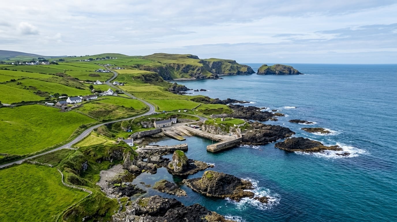
Skellig Ring
A short coastal loop off the Ring of Kerry, too narrow for coaches, which is exactly why it is worth driving.
Updated 28 August 2026
The Skellig Ring is an eighteen-kilometre loop that branches off the main Ring of Kerry and runs out to the far western tip of the Iveragh peninsula through Portmagee, Ballinskelligs and over the Coomanaspig Pass. Its roads are too narrow for tour coaches, which are banned from most of it, and the difference in traffic against the main Ring is immediate. The route takes in the Kerry Cliffs, the bridge to Valentia Island, the Coomanaspig road over the ridge at one of the highest points reachable by car in Ireland, Saint Finian's Bay, and Ballinskelligs with its Gaeltacht community, ruined abbey and castle on the strand. Skellig Michael is visible from several points. The roads are genuinely narrow with passing places, blind bends and stone walls close to the tarmac, and meeting a farm vehicle means reversing.
What you'll find
- The Coomanaspig road - over the ridge, near the highest drivable point here.
- Portmagee and Valentia - the harbour village and the bridge across.
- Ballinskelligs - Gaeltacht village with abbey and castle on the strand.
- The coach-free roads - narrow enough that tour buses cannot use them.
When to go
April to October. The roads are unpleasant in fog or heavy rain. Early or late in the day gives the best light on the Skelligs, weather allowing.
Things to know
Single-track with passing places, blind bends and walls at the edge - not a relaxed drive. No fuel or services for stretches. Cloud regularly hides the Skelligs and the coastal views entirely.
Nearby
The Kerry Cliffs and Valentia Island are on the loop; the Ring of Kerry rejoins at Waterville.
What to pack for Skellig Ring
Chosen from what this place is for. Tap a kit for the full checklist.
- Broken-in walking shoes or boots - Grip and ankle support matter more than looks; never hike in brand-new boots. Find on Amazon
- Layers + a waterproof shell - Mountain weather turns fast; a packable rain jacket saves the day. Find on Amazon
- Daypack with rain cover - 20-30 litres holds water, snacks, layers and a first-aid kit. Find on Amazon
- Offline maps + a power bank - Download the trail before you lose signal; carry backup charge. Find on Amazon
Some links on this page are Amazon affiliate links - if you buy through them we may earn a small commission at no extra cost to you.
All packing kitsPlan your trip
Where to start if Skellig Ring is going on the list.
Booking links on this page are affiliate links - if you book through them we may earn a small commission at no extra cost to you. It never changes what we write about a place.
Opening times, ticket prices and seasonal closures change - check the official source before you go: official site.