Nephin
A 806-metre quartzite dome standing entirely alone above the Mayo lowland, with no path and no shelter.
Updated 19 October 2026
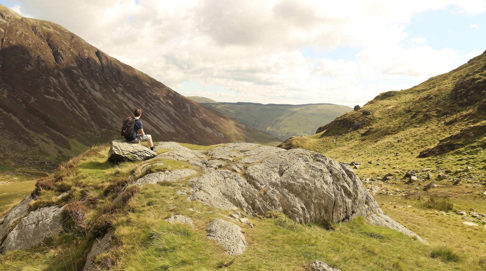
Nephin rises to 806 metres from flat bog and farmland with no other high ground attached to it, which makes it the highest free-standing mountain in Ireland and visible from an enormous distance across Mayo. It is a quartzite dome, steep on all sides, with scree and boulder ground on the upper slopes. The common route from Lettera on the south-western flank is short in distance and relentless in gradient - about four kilometres up with no zigzags and no constructed path, gaining most of the height in one push. There are no waymarks. From the summit the view takes in Clew Bay, Achill, the Nephin Beg range, Lough Conn directly below and, on the clearest days, ground in several counties. The mountain catches weather from every direction and the summit dome is featureless in cloud, which makes descending on the correct side a real navigational problem.
History
Nephin appears in Cath Maige Tuired, "The Battle of Moytura", as one of the "twelve chief mountains" of Ireland, called there Nemthenn, a name perhaps related to nemeton, a sacred place in Celtic religion. Its standing may be inferred from the decision of the Synod of Ráth Breasail in 1111 to make Nephin the northern boundary of the diocese of Cong (Wikipedia, Nephin).
The landscape
- The isolation - the highest standalone mountain in Ireland, with nothing beside it.
- The dome - quartzite, steep on all sides, with scree above.
- The summit view - Clew Bay, Achill, Lough Conn and the Nephin Beg range.
- The absence of a path - no waymarks, no constructed route.
When to go
May to September. Cloud covers the top frequently and the featureless dome makes navigation off it genuinely difficult - carry map and compass and know how to use them.
Before you go
No path, no waymarks and a relentless gradient; short in distance but hard. Descending in cloud on the wrong bearing puts you a long way from your car. No shelter or water on the mountain.
Nearby
Lough Conn is below the eastern side; the Nephin Beg range and Wild Nephin are west.
Key facts
Source: Wikidata, item Q1650901, read on 18 October 2026.
What to pack for Nephin
Chosen from what this place is for. Tap a kit for the full checklist.
- Broken-in walking shoes or boots - Grip and ankle support matter more than looks; never hike in brand-new boots. Find on Amazon
- Layers for big temperature swings - Warm sun by day, near-freezing at night, even near the equator. Find on Amazon
- Modest clothing - Shoulders and knees covered - the single most common requirement. Find on Amazon
- Layers + a waterproof shell - Mountain weather turns fast; a packable rain jacket saves the day. Find on Amazon
Some links on this page are Amazon affiliate links - if you buy through them we may earn a small commission at no extra cost to you.
All packing kitsPlan your trip
Where to start if Nephin is going on the list.
Booking links on this page are affiliate links - if you book through them we may earn a small commission at no extra cost to you. It never changes what we write about a place.
Opening times, ticket prices and seasonal closures change - check the official source before you go: official site.