Maghera Beach and Caves
A white strand under Slievetooey with a set of sea caves that flood on the tide, and a story about people who sheltered in them.
Updated 28 August 2026
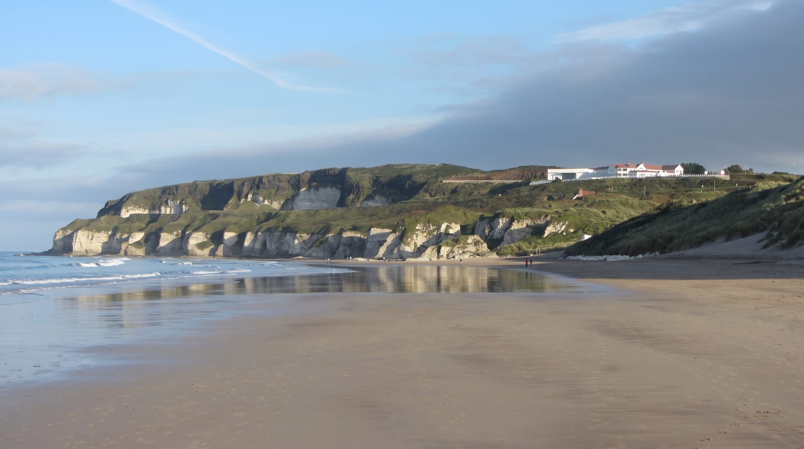
Maghera lies at the end of a valley road west of Ardara, where a wide pale strand runs below the bulk of Slievetooey with a large dune system between the car park and the sea. At the northern end of the beach a cluster of sea caves is cut into the cliff, around twenty of them, several large enough to walk well into at low water. Local tradition holds that villagers hid in one of them from Cromwellian soldiers in the seventeenth century and were discovered and killed when someone left footprints; only one escaped. The caves fill on the rising tide and there is no way out of the deeper ones once it does - this is the practical point, and people have been trapped. Check the tide, go in on a falling one, and take a light. The dunes are extensive and fragile, and the walk across them takes ten minutes each way.
The landscape
- The caves - around twenty in the northern cliff, several walkable at low tide.
- The strand - wide pale sand under Slievetooey.
- The dune system - large and fragile, crossed on the way in.
- The valley approach - past Assaranca waterfall from Ardara.
When to go
May to September, and only on a falling tide for the caves. Check tide tables before setting out - the caves flood completely and trap people.
What to expect
The caves are genuinely dangerous on a rising tide. No lifeguards on the beach and strong currents. Ten minutes across the dunes each way. The car park charges and is small.
Nearby
Assaranca waterfall is on the road in; Ardara and Glengesh are east.
What to pack for Maghera Beach and Caves
Chosen from what this place is for. Tap a kit for the full checklist.
- Reef-safe sunscreen - High SPF that will not bleach the coral you are swimming over. Find on Amazon
- Head torch + spare batteries - Hands-free light is essential; caves are truly dark. Find on Amazon
- Loose, light, long clothing - Covering up beats bare skin in the desert - and locals dress this way for a reason. Find on Amazon
- Quick-dry towel - A microfibre towel packs small and dries in minutes. Find on Amazon
Some links on this page are Amazon affiliate links - if you buy through them we may earn a small commission at no extra cost to you.
All packing kitsPlan your trip
Where to start if Maghera Beach and Caves is going on the list.
Booking links on this page are affiliate links - if you book through them we may earn a small commission at no extra cost to you. It never changes what we write about a place.
Opening times, ticket prices and seasonal closures change - check the official source before you go: official site.