Bintan Island
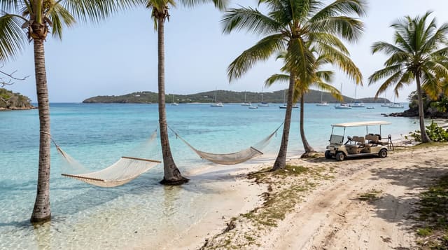
A Riau island whose northern coast was built as a Singapore-facing resort zone, with a quite different island behind it.
Updated 19 October 2026
Bintan is the largest of the Riau islands and it functions as two places. The northern coast holds the Bintan Resorts zone, developed from the 1990s as a joint Indonesian-Singaporean project with its own ferry terminal, golf courses, hotels and a self-contained arrangement in which many visitors arrive from Singapore, stay behind the gates and leave without seeing the rest of the island. The rest is Tanjung Pinang, the provincial capital and an old Malay port with a Chinatown, markets and the Penyengat island crossing; the Bugis and Malay settlements; mangrove rivers with firefly trips; and bauxite mining scars from decades of extraction. Trikora on the east coast has quieter beaches with local warung rather than resorts.
History
Bintan, traditionally known as Negeri Segantang Lada, has a history traced to the early 3rd century, when it flourished as a trading post on the route between China and India. It later came under the Malacca kingdom and then the Sultan of Johor, who ruled from here, and the Anglo-Dutch Treaty of 1824 made it part of the Dutch East Indies (Wikipedia, Bintan Island).
What's there
- A gated resort zone - the northern coast built for Singaporean weekends.
- Tanjung Pinang - the old Malay port town, Chinatown and provincial capital.
- Mangrove rivers - firefly trips and boat routes behind the coast.
- Bauxite scars - the legacy of decades of mining across parts of the island.
When to go
All year; drier February to October. Two days.
Before you go
The resort zone is separated from the island and priced in Singapore terms. Beaches outside it are more modest. Mining damage is visible in places. Ferries from Singapore are the usual arrival.
Nearby
Penyengat island is off Tanjung Pinang; Batam is west.
Key facts
Source: Wikidata, item Q774859, read on 18 October 2026.
What to pack for Bintan Island
Chosen from what this place is for. Tap a kit for the full checklist.
- Reef-safe sunscreen - High SPF that will not bleach the coral you are swimming over. Find on Amazon
- Quick-dry towel - A microfibre towel packs small and dries in minutes. Find on Amazon
- Water shoes - Protect your feet on rocky entries, hot sand and sea-urchin spines. Find on Amazon
- Dry bag - Keeps phone, cash and keys safe while you are in the water. Find on Amazon
Some links on this page are Amazon affiliate links - if you buy through them we may earn a small commission at no extra cost to you.
All packing kitsPlan your trip
Where to start if Bintan Island is going on the list.
Booking links on this page are affiliate links - if you book through them we may earn a small commission at no extra cost to you. It never changes what we write about a place.
Opening times, ticket prices and seasonal closures change - check the official source before you go: official site.