Umiam Lake
A reservoir of wooded islands north of Shillong, made by the first hydroelectric dam in northeast India.
Updated 16 October 2026
AI illustration
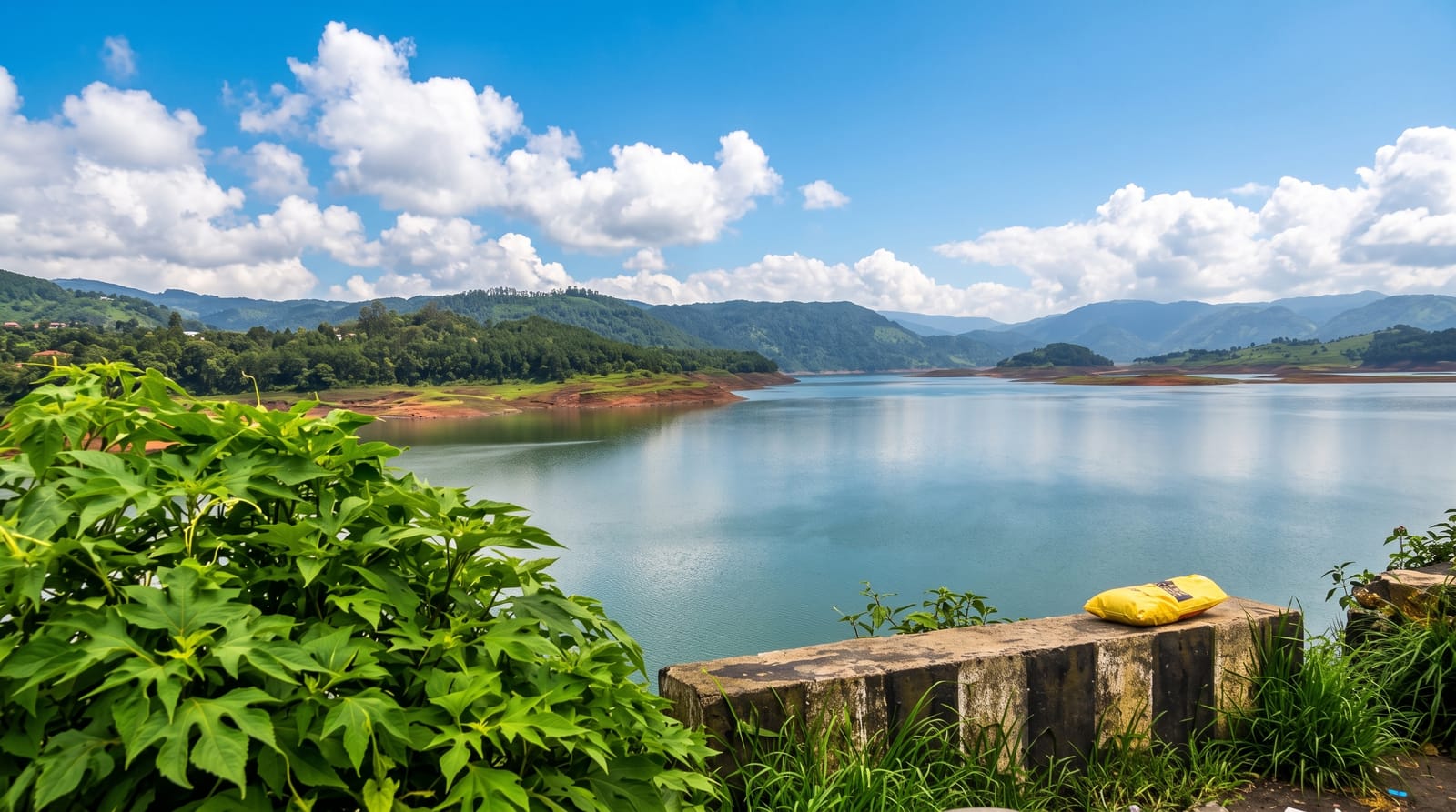
Umiam, often called Barapani, was created in the early 1960s when the Umiam river was dammed for the first hydroelectric project in northeast India, flooding a valley and leaving the tops of ridges as wooded islands scattered across around two hundred and twenty square kilometres of catchment. The lake is the first thing travellers see coming up from Guwahati, with viewpoints on the highway looking down over the water and pine ridges. Kayaking, boating and water scooters operate from a park on the eastern shore, and resorts have been built along the banks. Sedimentation and pollution have been persistent management problems.
Background
Umiam Lake, also called Bara Pani, fills a valley in the hills 15 kilometres north of Shillong; it was made by damming the Umiam River in the early 1960s. The main catchment of the lake and dam spreads over about 225 square kilometres. In February 2025 a new Guwahati to Panchgram expressway was announced, planned as the first in Northeast India; it is to run from Guwahati to Umiam and on to Panchgram, cutting the journey by 5 hours.
Source: Wikipedia, "Umiam Lake"
Highlights
- The wooded islands - ridge tops left standing above the flooded valley.
- The highway viewpoints - overlooks on the road up from Guwahati.
- The water sports - kayaking and boating from the eastern shore park.
- The pine ridges - forested slopes around the reservoir.
When to go
September to May; October to December gives the clearest water and air. The monsoon raises levels and brings silt. Weekends bring crowds from Shillong and Guwahati.
Before you go
Water quality has declined with sedimentation and inflow pollution. Shore development is uneven. Water sport operators vary in safety standards and life jackets are not always used.
Nearby
Shillong lies south; Guwahati is north.
Key facts
Source: Wikidata, item Q4475482, read on 18 October 2026.
What to pack for Umiam Lake
Chosen from what this place is for. Tap a kit for the full checklist.
- Broken-in walking shoes or boots - Grip and ankle support matter more than looks; never hike in brand-new boots. Find on Amazon
- Quick-dry clothing - Board shorts or synthetics that shrug off spray and dry fast. Find on Amazon
- Strong insect repellent - DEET or picaridin; the jungle is where bites and disease risk are highest. Find on Amazon
- Layers + a waterproof shell - Mountain weather turns fast; a packable rain jacket saves the day. Find on Amazon
Some links on this page are Amazon affiliate links - if you buy through them we may earn a small commission at no extra cost to you.
All packing kitsPlan your trip
Where to start if Umiam Lake is going on the list.
Booking links on this page are affiliate links - if you book through them we may earn a small commission at no extra cost to you. It never changes what we write about a place.
Opening times, ticket prices and seasonal closures change - check the official source before you go: official site.