Manali-Leh Highway
Some 430 kilometres across the Himalaya over four high passes, open only a few months a year.
Updated 19 October 2026
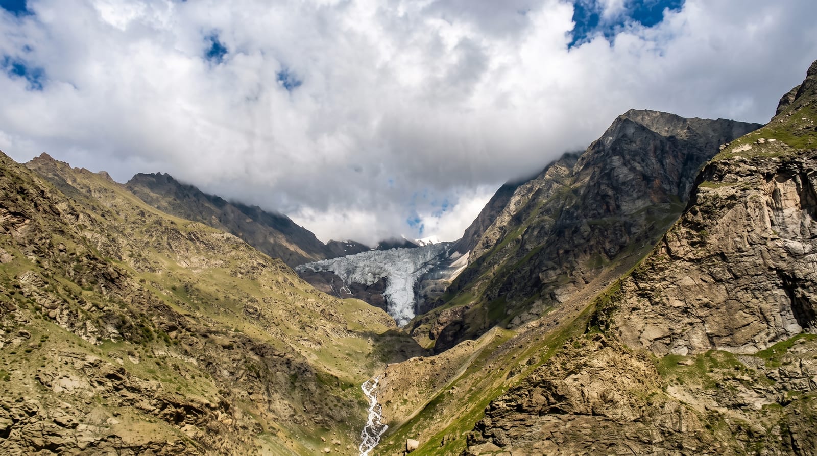
AI illustration
The road from Manali to Leh runs about 430 kilometres and crosses four passes over four thousand metres, including Baralacha La, Nakee La, Lachulung La and Taglang La at around 5,300 metres, with a long stretch of the Morey plains at over four thousand where the road runs dead straight across empty high desert. Since the Atal Tunnel opened in 2020 the Rohtang crossing at the start can be bypassed, extending the season slightly. The road is cleared each spring and closes with snow around October. Tented camps at Sarchu and Pang provide the only accommodation on the middle stretch.
History
Work on the road began in 1964 from both ends, and in 1989 the Manali-Leh road began serving as the second land route into Ladakh (Wikipedia, Leh-Manali Highway).
What's there
- The four high passes - crossings over four thousand metres, one near 5,300.
- The Morey plains - a straight run across empty high desert.
- The Gata Loops - twenty-one hairpins climbing from the Sarchu plain.
- The tented camps - Sarchu and Pang, the only stops on the middle stretch.
When to go
June to September, once the road is cleared; opening and closing dates shift each year with snowfall. Landslides and water crossings close sections at short notice even in season.
Practical notes
The route climbs very fast from Manali and altitude sickness at Sarchu, above 4,200 metres, is common; splitting the drive over two days helps. Camps are unheated and cold. Water crossings can strand vehicles.
Nearby
Manali is at the southern end; Leh at the northern.
Key facts
Source: Wikidata, item Q251599, read on 18 October 2026.
What to pack for Manali-Leh Highway
Chosen from what this place is for. Tap a kit for the full checklist.
- Warm base layers - Merino or synthetic against the skin - never cotton, which chills when damp. Find on Amazon
- Loose, light, long clothing - Covering up beats bare skin in the desert - and locals dress this way for a reason. Find on Amazon
- Layers for big temperature swings - Warm sun by day, near-freezing at night, even near the equator. Find on Amazon
- Comfortable walking shoes - Sightseeing means kilometres of pavement and cobbles daily. Find on Amazon
Some links on this page are Amazon affiliate links - if you buy through them we may earn a small commission at no extra cost to you.
All packing kitsPlan your trip
Where to start if Manali-Leh Highway is going on the list.
Booking links on this page are affiliate links - if you book through them we may earn a small commission at no extra cost to you. It never changes what we write about a place.
Opening times, ticket prices and seasonal closures change - check the official source before you go: official site.