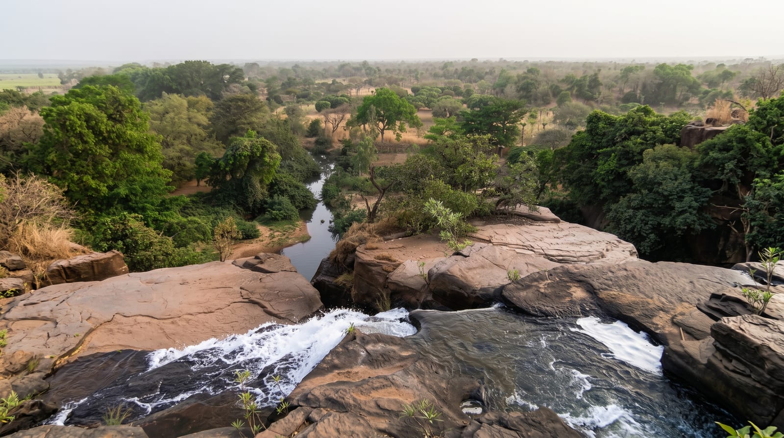
Urridafoss
The highest-volume waterfall in Iceland, on the country's longest river, and a repeated candidate for damming.
Updated 31 October 2026
Urridafoss carries more water than any other waterfall in Iceland - the Thjorsa is the country's longest river and drains a very large glacial catchment - though the drop is only about six metres, so it reads as a wide powerful rapid rather than a spectacle of height, which is why far fewer people stop here than at falls a fraction its volume. The rock beneath is part of the Thjorsahraun, thought to be the largest lava flow from a single eruption in the world since the last ice age. The fall has been proposed repeatedly as a hydroelectric site, and the outcome is not settled.
Background
Urriðafoss, the sea trout waterfall, lies on the Þjórsá in southwest Iceland. With an average flow of 360 cubic metres a second it carries more water than any other waterfall in Iceland and is second in Europe only to the Rhine Falls. A company called Títan was allowed in 1927 to build a power plant here together with a railway to Reykjavík, but neither was built. The national power company Landsvirkjun now plans stations on the lower Þjórsá, at Urriðafoss and Núpur; the proposed plant, with an underground powerhouse of about 125 megawatts, would make the waterfall disappear.
Source: Wikipedia, "Urriðafoss"
What you'll find
- Iceland's greatest volume - the most water of any fall in the country.
- Only six metres of drop - power rather than height.
- The Thjorsahraun beneath - among the largest single lava flows since the ice age.
When to go
May to September. An hour.
Good to know
Visitors expecting a tall waterfall are disappointed - the point is volume. Facilities are a small car park and a path. Banks are slippery and unfenced in places. It is close to route 1 and easy to combine with other stops.
Nearby
Selfoss is west along route 1; Hekla stands east.
Key facts
Source: Wikidata, item Q1546828, read on 18 October 2026.
What to pack for Urridafoss
Chosen from what this place is for. Tap a kit for the full checklist.
- Broken-in walking shoes or boots - Grip and ankle support matter more than looks; never hike in brand-new boots. Find on Amazon
- Head torch + spare batteries - Hands-free light is essential; caves are truly dark. Find on Amazon
- Layers + a waterproof shell - Mountain weather turns fast; a packable rain jacket saves the day. Find on Amazon
- Grippy closed shoes - Cave floors are wet, muddy and slick with formations. Find on Amazon
Some links on this page are Amazon affiliate links - if you buy through them we may earn a small commission at no extra cost to you.
All packing kitsPlan your trip
Where to start if Urridafoss is going on the list.
Booking links on this page are affiliate links - if you book through them we may earn a small commission at no extra cost to you. It never changes what we write about a place.
Opening times, ticket prices and seasonal closures change - check the official source before you go: official site.