Snaefellsjokull National Park
The tip of the Snaefellsnes peninsula, built around a glacier-capped volcano with lava fields, sea cliffs and craters.
Saved in this browser only - no account, nothing sent anywhere. See your map
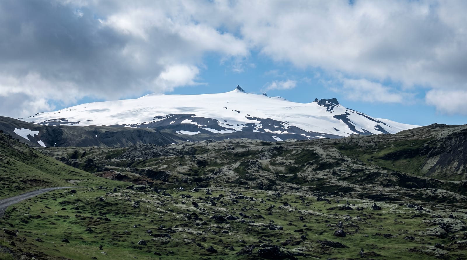
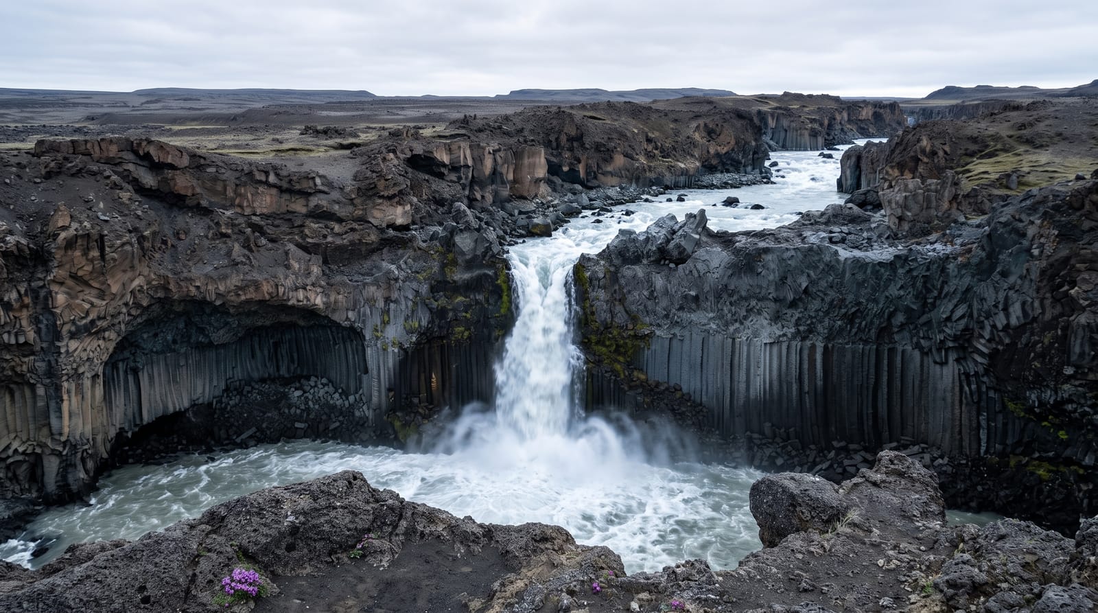
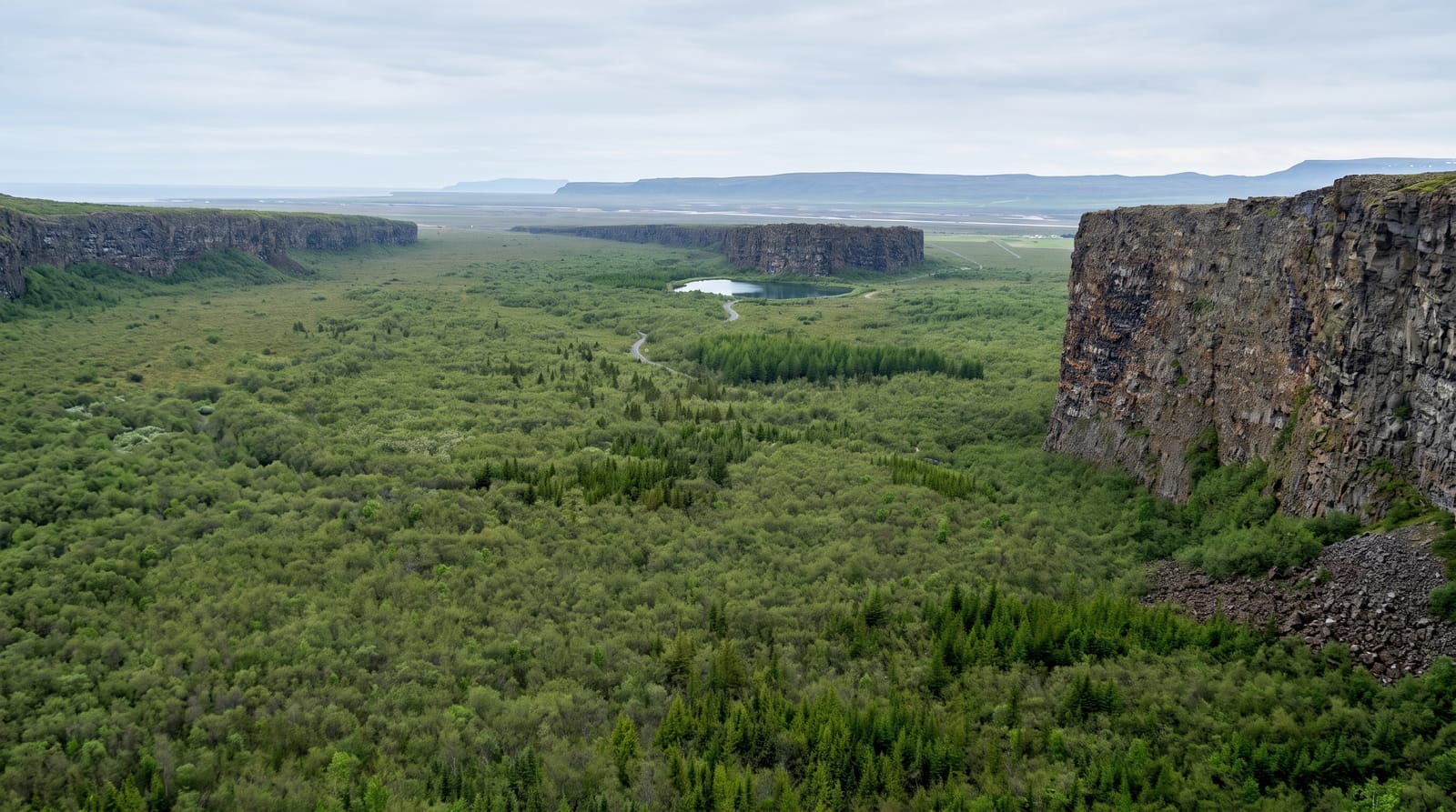
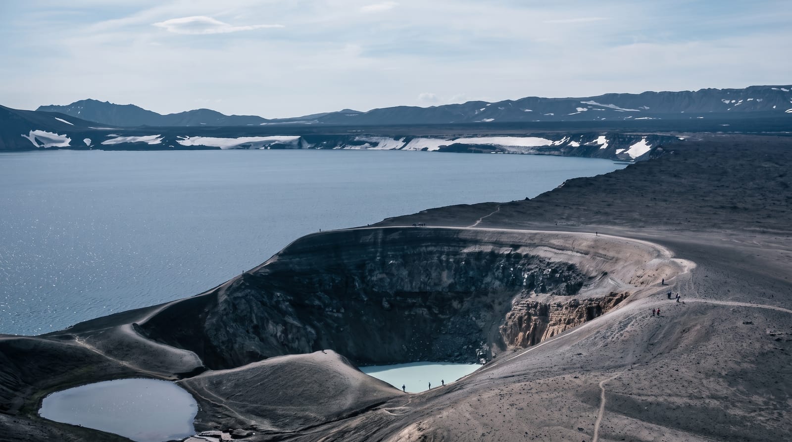
Illustrative image - a scene in the spirit of the place, not a photograph of it. Real photos are below.
The national park covers the western end of the Snaefellsnes peninsula, centred on Snaefellsjokull, a stratovolcano capped by a small ice cap that is visible across the bay from Reykjavik on clear days. Around it the land is mostly lava, some of it bare and sharp, some deep in grey-green moss. The coast road passes the Londrangar basalt pinnacles, the Malarrif lighthouse, the Saxholl crater with a stepped path to its rim, and the Vatnshellir lava tube, entered by spiral staircase on guided tours. Weather here changes fast because the peninsula sticks out into open sea, and the summit is a guided trip rather than a walk.
What you actually see
- Londrangar - two basalt pinnacles standing off the cliff line, remnants of an old crater.
- Saxholl crater - a small scoria cone with a stepped metal path to the rim in about ten minutes.
- Vatnshellir - a lava tube entered by spiral staircase on guided tours.
- The moss lava - wide fields of deep moss over old flows either side of the road.
When to go
May to September for open side roads, long light and easier weather, though the loop road is normally maintained year round. Clear days matter more than season here, since the glacier and the pinnacles disappear in low cloud. Summit trips run in spring and early summer with guides and equipment rather than on foot alone.
Honest expectations
The peninsula makes its own weather and a full day of horizontal rain is a realistic outcome. Distances between stops are longer than the map suggests and there are few services inside the park. Moss on lava is fragile and footprints in it stay for years. The ice cap has thinned and looks smaller than in older photographs.
Nearby
Djupalonssandur lies inside the park, and Kirkjufell stands further east along the peninsula.
What to pack for Snaefellsjokull National Park
Chosen from what this place is for. Tap a kit for the full checklist.
Opening times, ticket prices and seasonal closures change - check the official source before you go: official site.