Drangajokull
Iceland's northernmost ice cap, the only sizeable one that never rises above a thousand metres.
Updated 30 August 2026
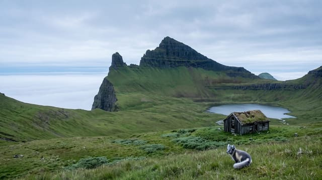
Drangajokull sits on the high ground between Isafjardardjup and the Hornstrandir side of the Westfjords, covering something under 150 square kilometres, and it is the only Icelandic ice cap of any size whose surface stays below a thousand metres - it survives on the heavy snowfall of the north-west rather than on altitude. It is also the northernmost. Like every glacier here it has lost area over the last century, though its behaviour has been less uniform than the southern caps and one of its outlets has surged more than once. There is no road to it; approaches are from Kaldalon on the south side or from Strandir, on foot or ski.
The landscape
- The northernmost Icelandic ice cap - fed by snowfall rather than height.
- Entirely below a thousand metres - unique among the larger caps.
- Outlets that have surged - advancing sharply against the general retreat.
- No road to the ice - approaches on foot or ski only.
When to go
April to June for ski trips; July to August to walk to the margin. A full day or more.
Things to know
Getting onto the ice requires glacier equipment and experience or a guide; crevasses are real. Weather in the Westfjords shuts routes at short notice. Approaches are long with no facilities. Even reaching the margin is a serious day.
Nearby
Kaldalon is the usual approach; Isafjordur is the regional base.
Key facts
Source: Wikidata, item Q555948, read on 18 October 2026.
What to pack for Drangajokull
Chosen from what this place is for. Tap a kit for the full checklist.
- Broken-in walking shoes or boots - Grip and ankle support matter more than looks; never hike in brand-new boots. Find on Amazon
- Warm base layers - Merino or synthetic against the skin - never cotton, which chills when damp. Find on Amazon
- Layers + a waterproof shell - Mountain weather turns fast; a packable rain jacket saves the day. Find on Amazon
- An insulated + windproof jacket - A down or synthetic layer under a hard shell handles most cold. Find on Amazon
Some links on this page are Amazon affiliate links - if you buy through them we may earn a small commission at no extra cost to you.
All packing kitsPlan your trip
Where to start if Drangajokull is going on the list.
Booking links on this page are affiliate links - if you book through them we may earn a small commission at no extra cost to you. It never changes what we write about a place.
Opening times, ticket prices and seasonal closures change - check the official source before you go: official site.