Asbyrgi
A horseshoe-shaped canyon in north Iceland with sheer walls and a rare stand of birch woodland on its floor.
Updated 30 August 2026

AI illustration
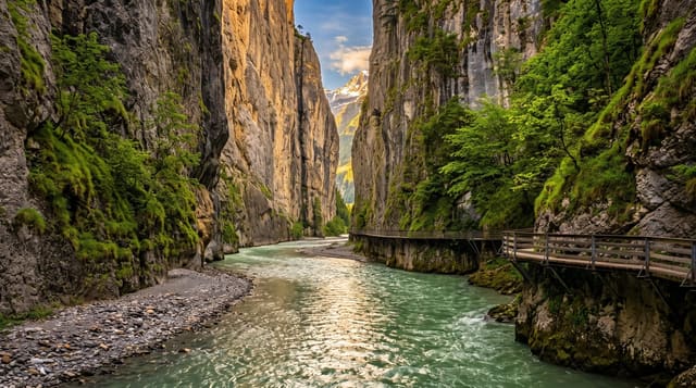
Asbyrgi is a canyon shaped like a horseshoe, roughly three and a half kilometres long and a kilometre across, with walls around a hundred metres high and a free-standing rock island, Eyjan, splitting the middle of it. Sheltered from the wind, the floor carries birch and willow woodland that counts as dense by Icelandic standards, with a small pond, Botnstjorn, at the closed end beneath the cliffs. Geologists attribute the shape to catastrophic glacial floods down the Jokulsa a Fjollum; the older explanation is that it is a hoofprint left by Odin's horse. Marked trails run along the floor, around the pond and up onto the rim.
Highlights
- The head wall - the sheer curved cliff at the closed end above Botnstjorn pond.
- Eyjan - the rock island in the middle of the canyon, with a path over the top.
- The birch wood - unusually dense woodland on the sheltered canyon floor.
- The rim trails - routes climbing out of the canyon for views down its length.
When to go
May to September for open trails and leaf on the birch, with late September giving autumn colour on the canyon floor. The visitor centre operates in summer and has trail information. The site is quieter than Dettifoss to the south and rarely feels crowded even in July, especially in the late afternoon.
What to expect
It is a walking site rather than a viewpoint, and without a couple of hours on foot there is little to see from the car park. The floor is flat and enclosed, so views only open up after a climb. Trails are muddy after rain and midges appear on still summer evenings. Facilities are limited to the campsite area.
Nearby
Dettifoss lies at the southern end of the same canyon system, with Husavik west on the coast.
Key facts
Source: Wikidata, item Q252506, read on 18 October 2026.
What to pack for Asbyrgi
Chosen from what this place is for. Tap a kit for the full checklist.
- Broken-in walking shoes or boots - Grip and ankle support matter more than looks; never hike in brand-new boots. Find on Amazon
- Shelter suited to the place - Tent, tarp or hut booking - match it to the terrain and rules. Find on Amazon
- Layers + a waterproof shell - Mountain weather turns fast; a packable rain jacket saves the day. Find on Amazon
- A warm sleeping bag + mat - Rated a little colder than you expect the nights to be. Find on Amazon
Some links on this page are Amazon affiliate links - if you buy through them we may earn a small commission at no extra cost to you.
All packing kitsPlan your trip
Where to start if Asbyrgi is going on the list.
Booking links on this page are affiliate links - if you book through them we may earn a small commission at no extra cost to you. It never changes what we write about a place.
Opening times, ticket prices and seasonal closures change - check the official source before you go: official site.