MacLehose Trail
A hundred-kilometre trail in ten sections crossing the New Territories from east to west.
Updated 31 August 2026
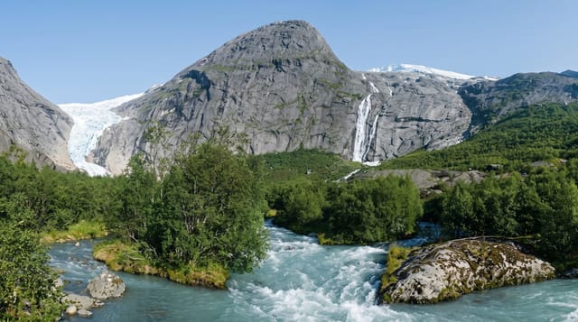
The MacLehose Trail opened in 1979 and runs a hundred kilometres across the New Territories in ten numbered sections, from Pak Tam Chung in Sai Kung in the east to Tuen Mun in the west, crossing country parks, reservoirs, the Sai Kung coast, Ma On Shan, Tai Mo Shan and a long series of ridges. Distance posts every five hundred metres make navigation straightforward and provide reference points for rescue. Most people walk it in sections over months rather than end to end. Once a year it is run as a team endurance event in which the fastest complete the full distance in well under fifteen hours, which puts the terrain in perspective for anyone who has walked a section of it.
What you'll find
- Ten sections across the territory - a hundred kilometres east to west.
- The Sai Kung coastal opening - beaches and headlands on sections one and two.
- Distance posts every 500 metres - the markers used for navigation and rescue.
- The annual team endurance event - the full distance run in under a day.
When to go
November to March; summer heat and humidity make long sections genuinely hazardous. Two days for the fastest through-walkers, a week at a reasonable pace, or single sections as day walks.
Things to know
Summer attempts cause heatstroke cases every year. Water points are scarce and unreliable on several sections. Camping is restricted to designated sites. Some sections are steep, stepped and hard on knees, and transport at section ends can be infrequent.
Nearby
Sai Kung is at the eastern end; Tuen Mun at the western.
What to pack for MacLehose Trail
Chosen from what this place is for. Tap a kit for the full checklist.
- Broken-in walking shoes or boots - Grip and ankle support matter more than looks; never hike in brand-new boots. Find on Amazon
- Reef-safe sunscreen - High SPF that will not bleach the coral you are swimming over. Find on Amazon
- Strong insect repellent - DEET or picaridin; the jungle is where bites and disease risk are highest. Find on Amazon
- Shelter suited to the place - Tent, tarp or hut booking - match it to the terrain and rules. Find on Amazon
Some links on this page are Amazon affiliate links - if you buy through them we may earn a small commission at no extra cost to you.
All packing kitsPlan your trip
Where to start if MacLehose Trail is going on the list.
Booking links on this page are affiliate links - if you book through them we may earn a small commission at no extra cost to you. It never changes what we write about a place.
Opening times, ticket prices and seasonal closures change - check the official source before you go: official site.