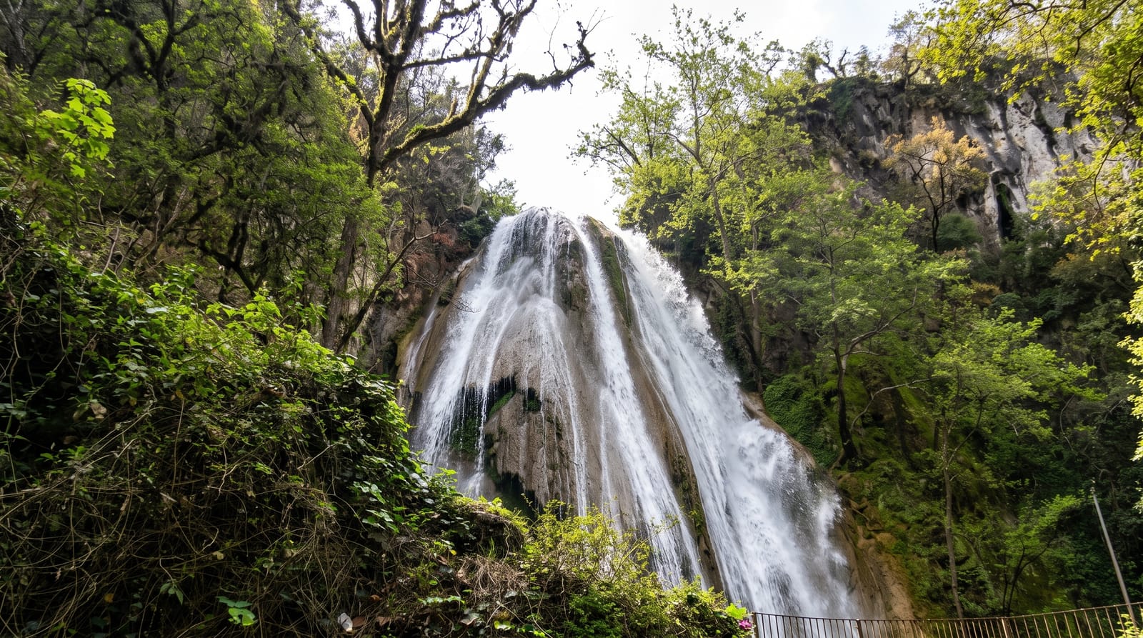
Salto de Chilasco
A very tall waterfall in Baja Verapaz cloud forest, reached on a steep community trail.
Updated 1 September 2026
The Salto de Chilasco drops around a hundred and thirty metres over a cliff in cloud forest in Baja Verapaz, which puts it among the highest waterfalls in Central America, and the village of Chilasco manages the site and the trail to it. The path runs down through forest from the village to a viewpoint facing the fall across the valley, then continues on steps and switchbacks to the base, where spray fills the basin; the descent takes an hour or so and the climb back is a good deal harder. The forest around is wet and mossy, with orchids and bromeliads, and quetzals are occasionally seen along the trail in the breeding months.
What you'll find
- A hundred and thirty metre fall - among the highest in Central America.
- The viewpoint across the valley - the fall seen in full from the trail.
- The descent to the base - steps and switchbacks into the spray.
- Mossy cloud forest - orchids and bromeliads along the path.
When to go
November to April in the drier months, though flow is heaviest after rain. Half a day. Community guides are arranged in the village and are worth taking.
Practical notes
The climb back from the base is long and steep and people underestimate it. Trails are muddy and slippery whatever the season. The road in from the highway is rough. Facilities are basic village services.
Nearby
Salama is south-west; the Biotopo del Quetzal lies north.
What to pack for Salto de Chilasco
Chosen from what this place is for. Tap a kit for the full checklist.
- Broken-in walking shoes or boots - Grip and ankle support matter more than looks; never hike in brand-new boots. Find on Amazon
- Layers + a waterproof shell - Mountain weather turns fast; a packable rain jacket saves the day. Find on Amazon
- Daypack with rain cover - 20-30 litres holds water, snacks, layers and a first-aid kit. Find on Amazon
- Offline maps + a power bank - Download the trail before you lose signal; carry backup charge. Find on Amazon
Some links on this page are Amazon affiliate links - if you buy through them we may earn a small commission at no extra cost to you.
All packing kitsPlan your trip
Where to start if Salto de Chilasco is going on the list.
Booking links on this page are affiliate links - if you book through them we may earn a small commission at no extra cost to you. It never changes what we write about a place.
Opening times, ticket prices and seasonal closures change - check the official source before you go: official site.