Laguna de Ayarza
A deep caldera lake in the eastern highlands, enclosed by steep wooded slopes.
Updated 1 September 2026
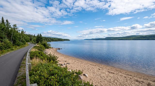
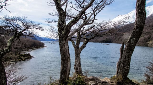
Laguna de Ayarza fills a caldera in the volcanic hills of the eastern highlands, a deep blue lake of a few square kilometres enclosed on all sides by steep slopes of pine and scrub with almost nothing built on them, and it is one of the least visited lakes in the country despite being within a few hours of Guatemala City. The water is deep and cool and used for swimming and kayaking; a handful of simple places on the shore rent boats and offer food at weekends. The road in is rough and drops sharply to the water. The eastern highlands around it are dry, hot and thinly visited compared with the west.
What's there
- A deep caldera lake - blue water in a volcanic bowl.
- Steep undeveloped slopes - pine and scrub around the whole shore.
- Swimming and kayaking - the use made of the cool deep water.
- Quiet by Guatemalan standards - very few visitors most of the time.
When to go
In the dry stretch from November to April. A day from Guatemala City. Weekends bring local visitors and the few shore businesses open then.
Before you go
The road down to the lake is steep and rough. Facilities are minimal and mostly weekend-only. The lake is deep with no shallow shelf. Public transport does not reach the shore.
Nearby
Casillas is west; Jalapa lies north-east.
Key facts
Source: Wikidata, item Q5730441, read on 18 October 2026.
What to pack for Laguna de Ayarza
Chosen from what this place is for. Tap a kit for the full checklist.
- Reef-safe sunscreen - High SPF that will not bleach the coral you are swimming over. Find on Amazon
- Quick-dry clothing - Board shorts or synthetics that shrug off spray and dry fast. Find on Amazon
- Quick-dry towel - A microfibre towel packs small and dries in minutes. Find on Amazon
- Secure water shoes or reef boots - Grip on slippery launches and protection on rocky shores. Find on Amazon
Some links on this page are Amazon affiliate links - if you buy through them we may earn a small commission at no extra cost to you.
All packing kitsPlan your trip
Where to start if Laguna de Ayarza is going on the list.
Booking links on this page are affiliate links - if you book through them we may earn a small commission at no extra cost to you. It never changes what we write about a place.
Opening times, ticket prices and seasonal closures change - check the official source before you go: official site.