Lago del Desierto
A long narrow lake below Fitz Roy's northern side, hemmed by forest and glaciers on the route to the Chilean border.
Updated 19 October 2026

AI illustration
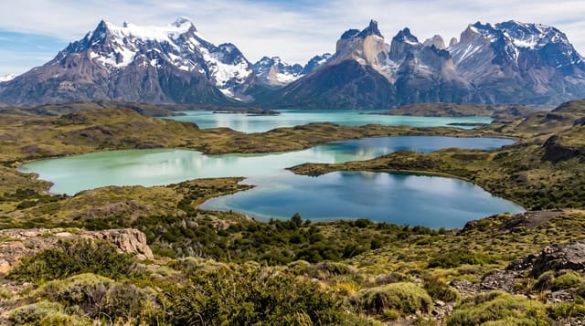
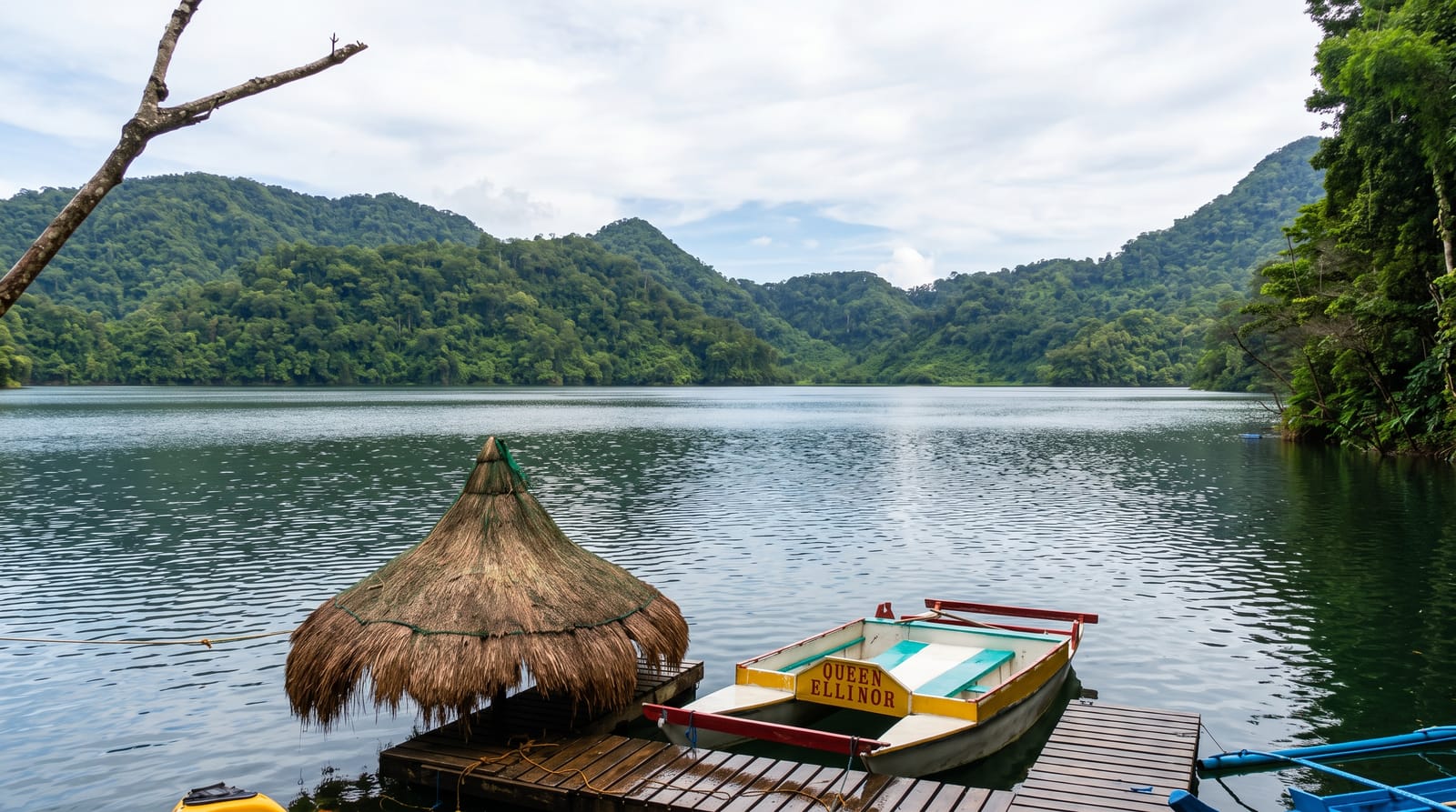
Lago del Desierto lies north of El Chaltén in a trench between steep forested ridges, a narrow lake about ten kilometres long with the Vespignani glacier hanging above its western side and, from certain angles at the southern end, a view of Fitz Roy from a direction few people see. A boat crosses the lake in summer, and from the northern shore a trail continues to the Chilean border and on toward Villa O'Higgins at the end of the Carretera Austral, a crossing made on foot and by boat that has become a well-known route for cyclists and trekkers. Short walks from the southern shore reach the Huemul glacier and lagoon, and the drive itself follows the Río de las Vueltas through changing forest.
History
Chileans were the first to settle the area permanently, in 1921, and two years later Chilean settlers and explorers came upon the lake; more Chilean families settled its shores in the 1930s, and Chile granted land titles in 1934 and 1937. Because the maps were poor when the border treaty of 1881 was signed, the land between Lake O'Higgins/San Martín and Mount Fitz Roy became disputed between Chile and Argentina. An arbitration tribunal settled the dispute on 21 October 1994 in Argentina's favour for 481 square kilometres, confirmed in 1995, and in Chile the lake is still called Laguna del Desierto (Wikipedia, Del Desierto Lake).
What's there
- The lake trench - narrow water between steep forested walls.
- The hanging glacier - Vespignani ice above the western shore.
- The Huemul lagoon walk - a short trail to a glacier and iceberg lagoon.
- The border route - the trail north toward Villa O'Higgins in Chile.
When to go
November to March, when the boat runs and the border crossing is open; outside that window services stop and the crossing closes. The road is gravel and rough in any season, and rain is frequent even in midsummer.
What to expect
The gravel road takes over an hour each way and is hard on vehicles. Cloud often covers the peaks. The border crossing on foot requires paperwork at both ends, planning and time, and is not a casual day trip.
Nearby
El Chaltén lies south; the Chilean side leads to Villa O'Higgins.
Key facts
Source: Wikidata, item Q3215648, read on 18 October 2026.
What to pack for Lago del Desierto
Chosen from what this place is for. Tap a kit for the full checklist.
- Broken-in walking shoes or boots - Grip and ankle support matter more than looks; never hike in brand-new boots. Find on Amazon
- Reef-safe sunscreen - High SPF that will not bleach the coral you are swimming over. Find on Amazon
- Padded shorts - The one thing that makes a full day in the saddle bearable. Find on Amazon
- Warm base layers - Merino or synthetic against the skin - never cotton, which chills when damp. Find on Amazon
Some links on this page are Amazon affiliate links - if you buy through them we may earn a small commission at no extra cost to you.
All packing kitsPlan your trip
Where to start if Lago del Desierto is going on the list.
Booking links on this page are affiliate links - if you book through them we may earn a small commission at no extra cost to you. It never changes what we write about a place.
Opening times, ticket prices and seasonal closures change - check the official source before you go: official site.