Richtis Gorge
A green gorge in eastern Crete with a twenty-metre waterfall halfway down and a pebble beach at the end.
Updated 4 September 2026
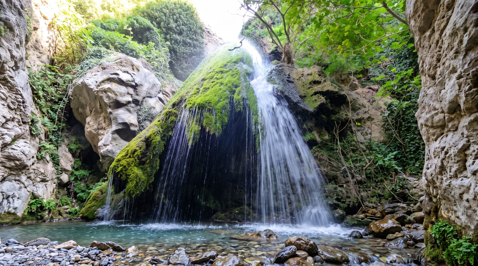
AI illustration
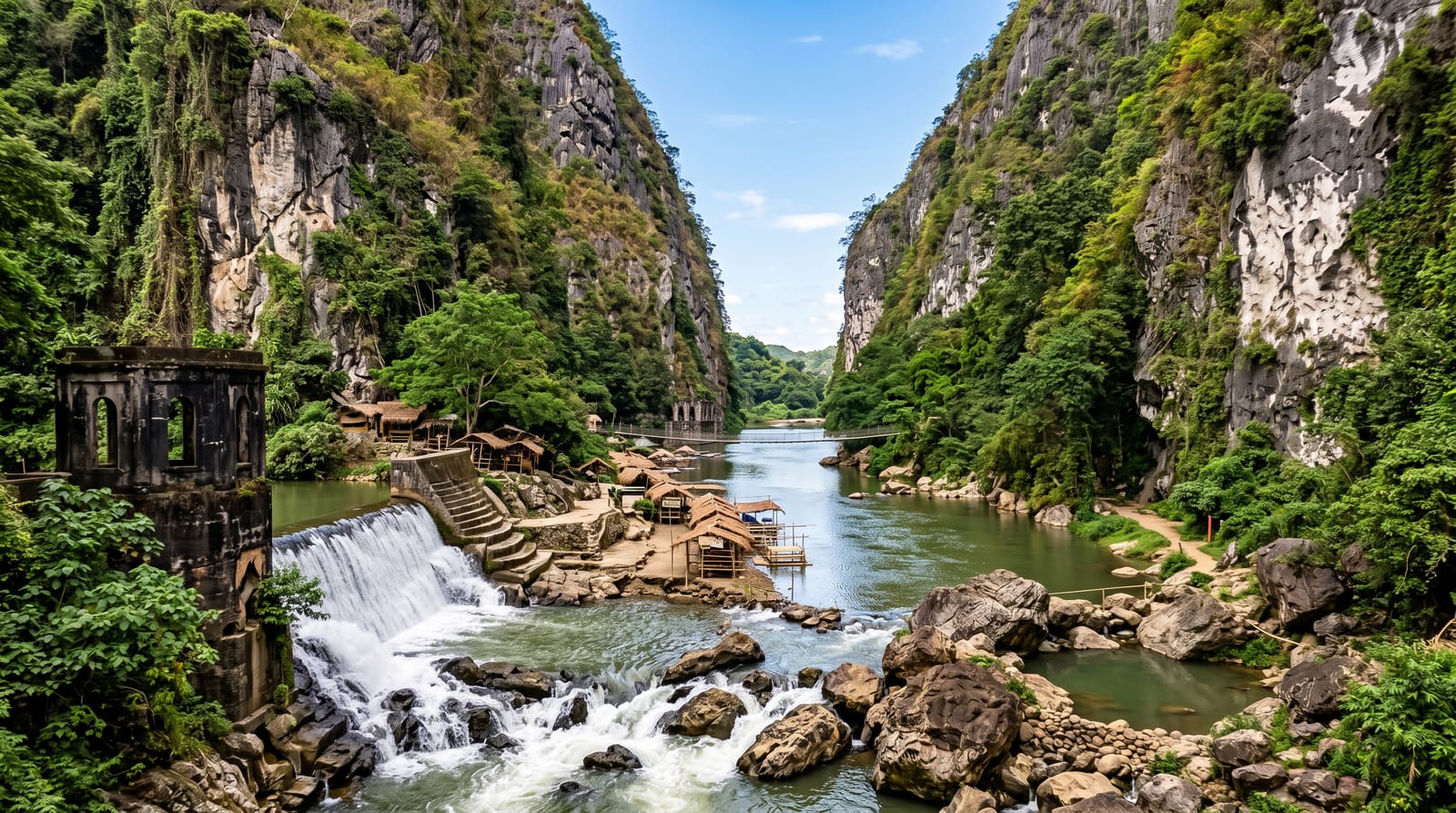
The Richtis is unusual for eastern Crete, which is generally dry: the gorge holds running water most of the year, plane trees, ferns and moss, and a waterfall of about twenty metres drops into a pool roughly halfway along the route. The walk starts near Exo Mouliana at an old Venetian bridge and descends about four kilometres to Richtis beach on the north coast, taking two to three hours, crossing the stream repeatedly on stones and passing ruined watermills. Most walkers arrange a car at the beach end or return the way they came, which means a climb. The beach itself is grey pebble with a stream mouth and a seasonal cantina, and it stays quiet even in August because access is limited.
What's there
- The waterfall - a twenty-metre fall into a pool midway down the gorge.
- The green canyon - plane trees, ferns and running water in a dry region.
- The watermills - ruins along the stream, with an old Venetian bridge at the top.
- Richtis beach - a quiet pebble shore at the gorge mouth.
When to go
April to June for water in the stream and full greenery; September and October are cooler for walking. Avoid after heavy rain, when the crossings become difficult and the gorge can flood.
Before you go
The walk is one-way downhill, so transport must be arranged or the climb accepted. Stream crossings mean wet feet, and the path is stony and slippery in places. There are no facilities until the beach, and the cantina is seasonal.
Nearby
Sitia lies east; Mochlos and the north coast villages are west.
Key facts
Source: Wikidata, item Q7331108, read on 18 October 2026.
What to pack for Richtis Gorge
Chosen from what this place is for. Tap a kit for the full checklist.
- Broken-in walking shoes or boots - Grip and ankle support matter more than looks; never hike in brand-new boots. Find on Amazon
- Layers + a waterproof shell - Mountain weather turns fast; a packable rain jacket saves the day. Find on Amazon
- Daypack with rain cover - 20-30 litres holds water, snacks, layers and a first-aid kit. Find on Amazon
- Offline maps + a power bank - Download the trail before you lose signal; carry backup charge. Find on Amazon
Some links on this page are Amazon affiliate links - if you buy through them we may earn a small commission at no extra cost to you.
All packing kitsPlan your trip
Where to start if Richtis Gorge is going on the list.
Booking links on this page are affiliate links - if you book through them we may earn a small commission at no extra cost to you. It never changes what we write about a place.
Opening times, ticket prices and seasonal closures change - check the official source before you go: official site.