Lake Tsivlou
A lake formed by a landslide in 1913 that buried a village, now green water ringed by firs at eight hundred metres.
Updated 4 September 2026
AI illustration
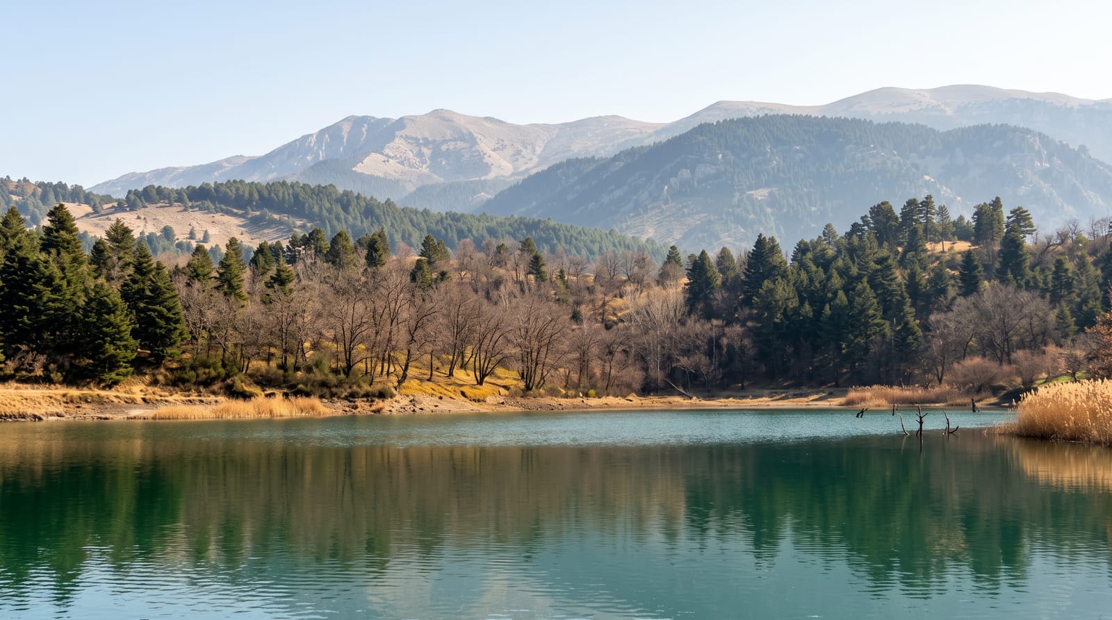
In 1913 a massive landslide came down the slopes above the Krathis valley, dammed the river and drowned the settlement of Sylivainiotika, creating this lake at roughly 800 metres in the mountains south of the Corinthian Gulf. Today it is a still green sheet about half a kilometre long, surrounded by fir and plane trees, with a footpath around the shore and picnic areas under the trees. The road up from Akrata is spectacular and slow, climbing through the Krathis gorge past villages clinging to the slope. The lake is a favourite for Greek weekend outings, and the walk around it takes forty minutes; the water is cold and swimming is generally discouraged, but the reflections of the firs in the morning make the drive worthwhile.
The landscape
- The lake basin - green water held by the 1913 landslide.
- The shore path - a walking circuit under fir and plane trees.
- The Krathis gorge road - the winding climb from the coast.
- The mountain villages - Zarouchla and others above the lake.
When to go
Late spring for full water and green slopes; October and November for colour. Winter access can be blocked by snow. Summer weekends bring picnicking crowds.
What to expect
The lake is small, and the visit is essentially a walk and a picnic. Water levels vary and the margins can be muddy. Facilities amount to a taverna and picnic tables. The mountain road demands patience and a car with decent brakes.
Nearby
The Cave of the Lakes and Kalavryta lie west; the coast at Akrata is half an hour below.
Key facts
Source: Wikidata, item Q15057232, read on 18 October 2026.
What to pack for Lake Tsivlou
Chosen from what this place is for. Tap a kit for the full checklist.
- Broken-in walking shoes or boots - Grip and ankle support matter more than looks; never hike in brand-new boots. Find on Amazon
- Reef-safe sunscreen - High SPF that will not bleach the coral you are swimming over. Find on Amazon
- Head torch + spare batteries - Hands-free light is essential; caves are truly dark. Find on Amazon
- Warm base layers - Merino or synthetic against the skin - never cotton, which chills when damp. Find on Amazon
Some links on this page are Amazon affiliate links - if you buy through them we may earn a small commission at no extra cost to you.
All packing kitsPlan your trip
Where to start if Lake Tsivlou is going on the list.
Booking links on this page are affiliate links - if you book through them we may earn a small commission at no extra cost to you. It never changes what we write about a place.
Opening times, ticket prices and seasonal closures change - check the official source before you go: official site.