Chrissi Island
An uninhabited islet of golden sand and ancient cedars in the Libyan Sea, reached by boat from Ierapetra.
Updated 21 October 2026
AI illustration
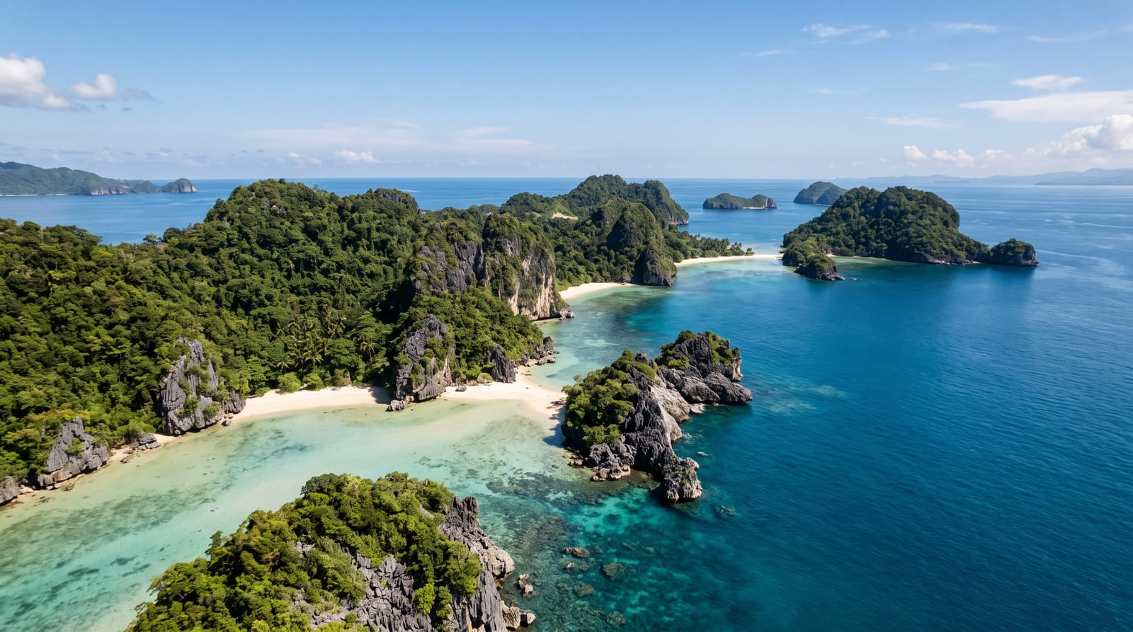
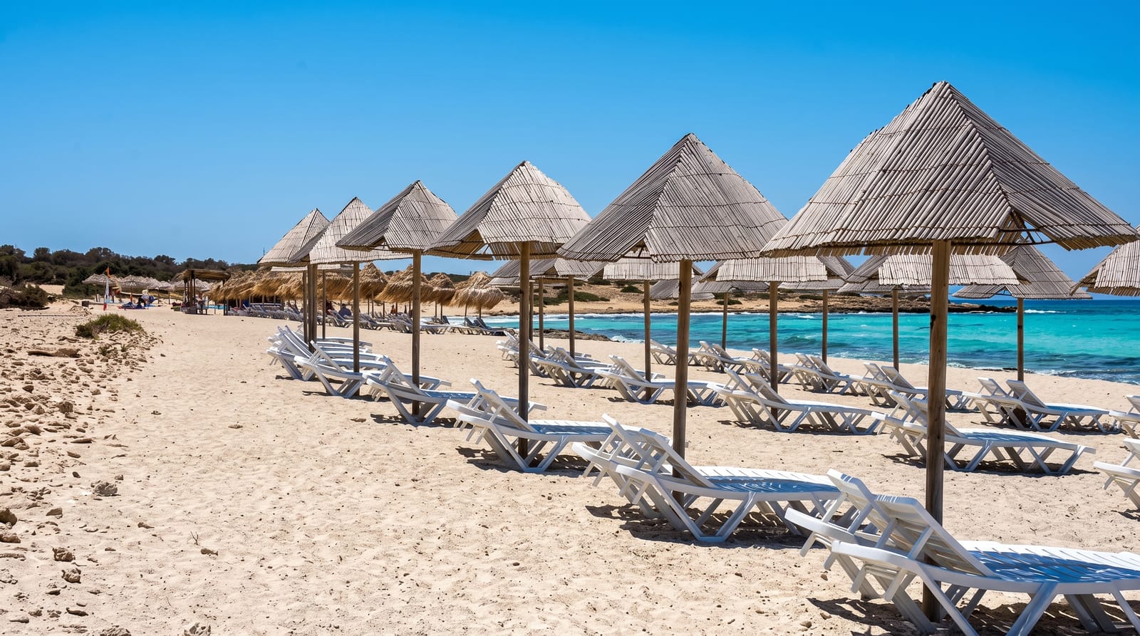
Chrissi lies about fifteen kilometres south of Crete, a low sandy island roughly five kilometres long with no inhabitants, few buildings beyond a chapel of Saint Nicholas, a lighthouse and a seasonal cantina, and the largest natural forest of Juniperus macrocarpa in Europe, the large-fruited juniper that Cretans call cedar, some of the trees up to three hundred years old. Its beaches are pale gold and the shallows turquoise, with shells covering some stretches so thickly that the sand is pink-white; Belegrina, the shell beach, is the best known. The island is a protected Natura 2000 area, and rules restrict where visitors may walk, camp, or take anything away: removing shells or sand is prohibited, marked paths must be used and overnight stays are banned. Day boats leave Ierapetra in the morning and return in the afternoon.
What's there
- Belegrina beach - pale sand covered in shells and turquoise shallows.
- The juniper forest - centuries-old trees growing on the dunes.
- The marked paths - routes across the island protecting the dune habitat.
- The Libyan Sea - open water south toward Africa.
When to go
May, June and September for calm crossings and space on the beaches; July and August fill the island with several boatloads a day. Boats do not run in winter or in strong wind.
Good to know
There is no shade except under the junipers, which visitors must not disturb, and no facilities beyond one seasonal cantina, so bring water and an umbrella. The crossing is exposed and can be rough. Taking shells or sand is illegal and enforced.
Nearby
Ierapetra is the departure port; the southeastern coast of Crete stretches east toward Makrigialos.
Key facts
Source: Wikidata, item Q1088543, read on 18 October 2026.
What to pack for Chrissi Island
Chosen from what this place is for. Tap a kit for the full checklist.
- Reef-safe sunscreen - High SPF that will not bleach the coral you are swimming over. Find on Amazon
- Loose, light, long clothing - Covering up beats bare skin in the desert - and locals dress this way for a reason. Find on Amazon
- Shelter suited to the place - Tent, tarp or hut booking - match it to the terrain and rules. Find on Amazon
- Quick-dry towel - A microfibre towel packs small and dries in minutes. Find on Amazon
Some links on this page are Amazon affiliate links - if you buy through them we may earn a small commission at no extra cost to you.
All packing kitsPlan your trip
Where to start if Chrissi Island is going on the list.
Booking links on this page are affiliate links - if you book through them we may earn a small commission at no extra cost to you. It never changes what we write about a place.
Opening times, ticket prices and seasonal closures change - check the official source before you go: official site.