Tubuai
The main Austral island, low and green inside a wide lagoon, with a mild climate and root crops.
Updated 16 October 2026
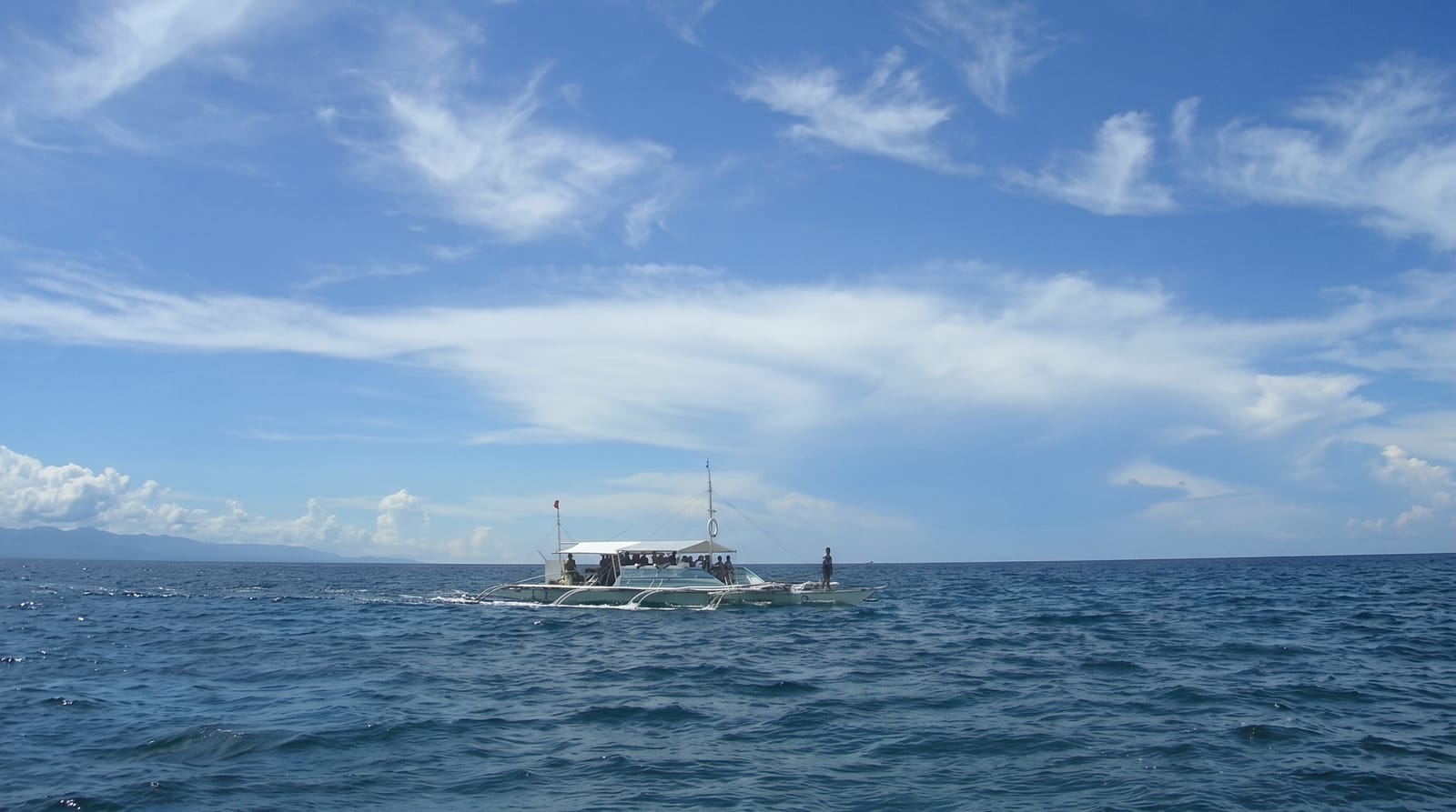
Tubuai is the administrative centre of the Austral Islands, a low green island of two old volcanic masses joined by a plain, sitting inside a wide lagoon with motu on the reef. Its climate is cooler than Tahiti, which lets it grow potatoes, carrots and other crops that supply the Papeete market. Mutineers from the Bounty tried to settle here in 1789 and were driven off within months, leaving the earthworks of their fort.
Background
The island's own name is Tupuaʻi, and islanders use the Tupuaʻi form of the Austral language. It lies 640 km south of Tahiti, 210 km from Rurutu and 195 km from Ra'ivāvae, and has 2,185 inhabitants on 45 square kilometres. Its highest point, Mount Taita'a, reaches 422 metres. The encircling reef holds a lagoon of 85 square kilometres, almost double the island's area, up to 5 kilometres wide and mostly around 6 metres deep, with a pass for ships on the north side. People have lived here since at least 1215 CE. James Cook mapped the island in 1777 without landing. Toa trees once grew thickly on the motu, and islanders built houses from their dense wood.
Source: Wikipedia, "Tubuai"
The landscape
- The wide lagoon - the reef and motu enclosing the island.
- The cool climate - the temperature that lets root crops grow for the Tahiti market.
- The Bounty fort - the earthworks left by the 1789 attempt to settle.
- The two volcanic masses - the hills joined by the central plain.
When to go
May to October is the dry season, though the Australs are cooler and wetter than Tahiti. Flights are limited. Cyclone season runs November to April.
Practical notes
There is very little tourism infrastructure and few pensions. Flights are infrequent and expensive. The lagoon is shallow and the passes are limited.
Nearby
Rurutu is north, and Raivavae is east.
Key facts
Source: Wikidata, item Q514626, read on 18 October 2026.
What to pack for Tubuai
Chosen from what this place is for. Tap a kit for the full checklist.
- Reef-safe sunscreen - High SPF that will not bleach the coral you are swimming over. Find on Amazon
- Quick-dry towel - A microfibre towel packs small and dries in minutes. Find on Amazon
- Water shoes - Protect your feet on rocky entries, hot sand and sea-urchin spines. Find on Amazon
- Dry bag - Keeps phone, cash and keys safe while you are in the water. Find on Amazon
Some links on this page are Amazon affiliate links - if you buy through them we may earn a small commission at no extra cost to you.
All packing kitsPlan your trip
Where to start if Tubuai is going on the list.
Booking links on this page are affiliate links - if you book through them we may earn a small commission at no extra cost to you. It never changes what we write about a place.
Opening times, ticket prices and seasonal closures change - check the official source before you go: official site.