Saut du Doubs
A twenty-seven metre fall where the Doubs drops between France and Switzerland, reached by boat or on foot.
Updated 4 September 2026
AI illustration
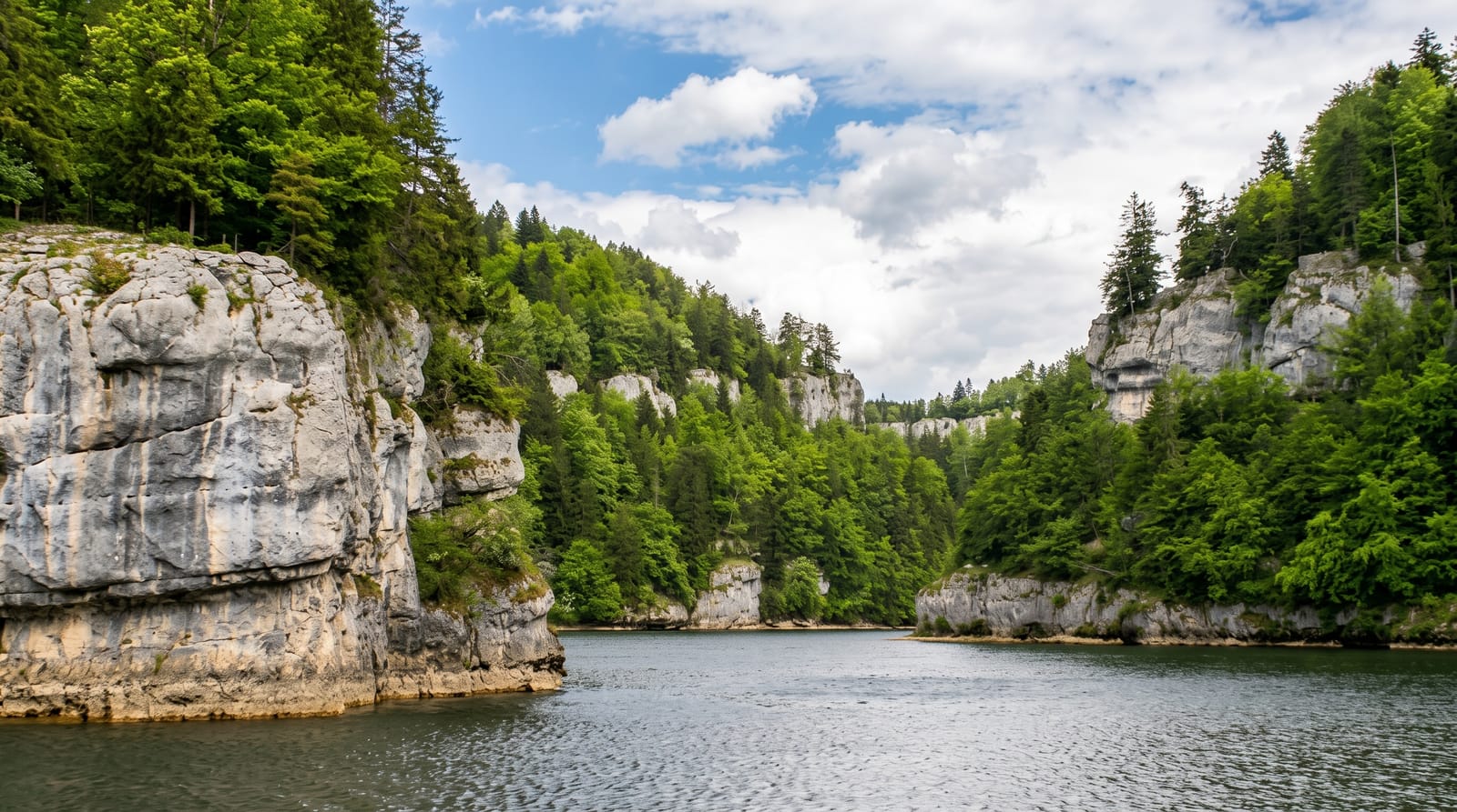
Above the fall the Doubs widens into the Bassins du Doubs, a stretch of still green water hemmed by limestone cliffs that looks like a fjord and marks the border with Switzerland, and boats run through it from Villers-le-Lac to a landing near the drop. The Saut itself is about twenty-seven metres, at its most impressive during spring snowmelt when the whole river goes over the lip; in dry summers it can shrink dramatically, and in hard winters it has frozen into a wall of ice, which happened memorably in 2012 and 2017. Viewpoints are on both banks, so the fall can be seen from France or Switzerland.
Highlights
- The fall - a twenty-seven metre drop, heaviest during spring melt.
- The Bassins du Doubs - a cliff-lined stretch of still water above it.
- The boat run - a cruise from Villers-le-Lac to the landing stage.
- The two-country viewpoints - platforms on the French and Swiss banks.
When to go
April to June for meltwater volume, and autumn after rain. Late summer often reduces it to a thin curtain. Boats run roughly spring to autumn and stop in winter.
Things to know
Flow varies enormously and a dry August visit is a let-down. The walk from the boat landing to the viewpoints is uphill on rough ground. Bring a passport if crossing to the Swiss side.
Nearby
Besancon lies west; the Comte dairies are southwest.
What to pack for Saut du Doubs
Chosen from what this place is for. Tap a kit for the full checklist.
- Broken-in walking shoes or boots - Grip and ankle support matter more than looks; never hike in brand-new boots. Find on Amazon
- Layers + a waterproof shell - Mountain weather turns fast; a packable rain jacket saves the day. Find on Amazon
- Daypack with rain cover - 20-30 litres holds water, snacks, layers and a first-aid kit. Find on Amazon
- Offline maps + a power bank - Download the trail before you lose signal; carry backup charge. Find on Amazon
Some links on this page are Amazon affiliate links - if you buy through them we may earn a small commission at no extra cost to you.
All packing kitsPlan your trip
Where to start if Saut du Doubs is going on the list.
Booking links on this page are affiliate links - if you book through them we may earn a small commission at no extra cost to you. It never changes what we write about a place.
Opening times, ticket prices and seasonal closures change - check the official source before you go: official site.


