Cap Corse
A forty-kilometre finger of mountains and sea, with Genoese towers on almost every headland.
Updated 19 October 2026

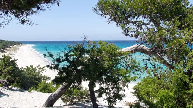
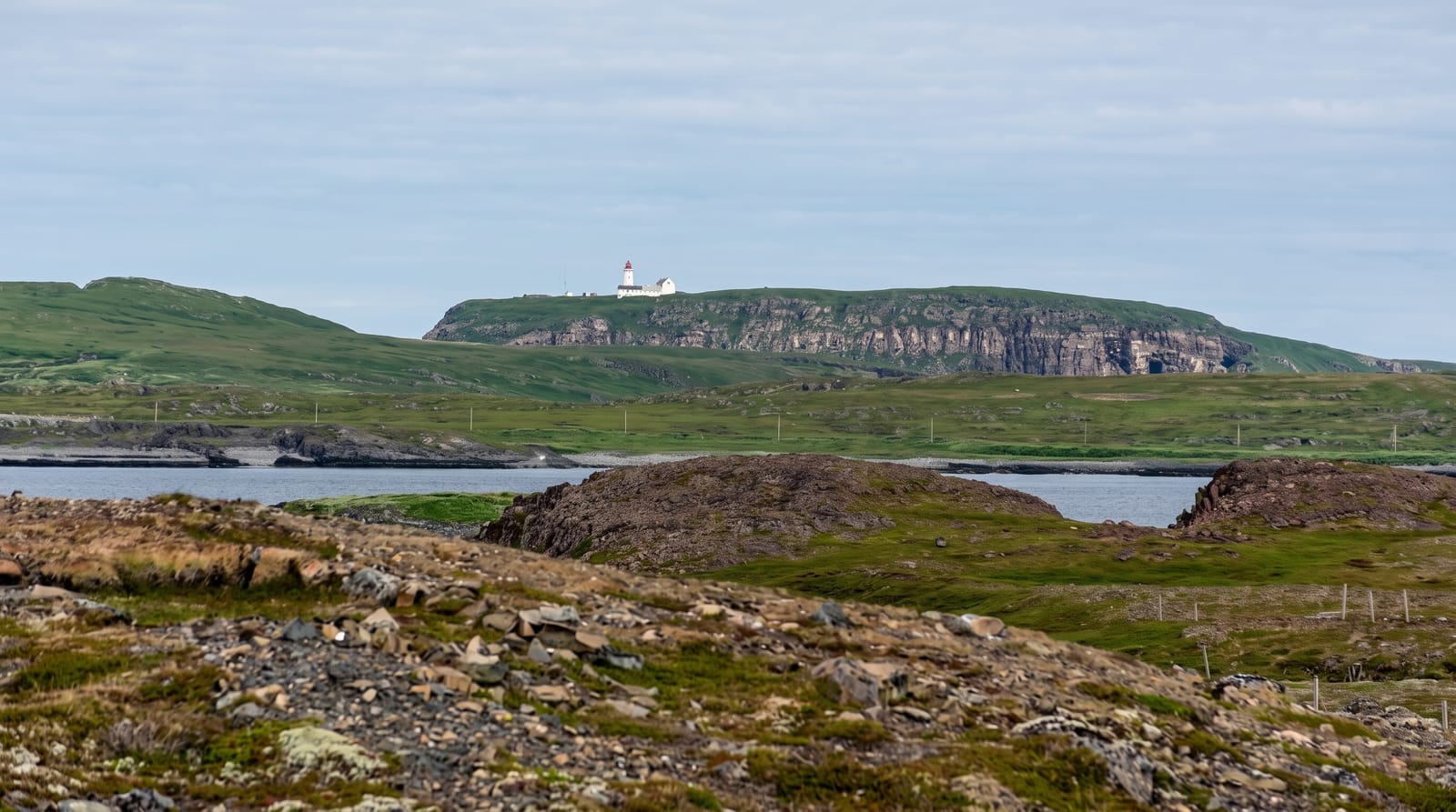
AI illustration
Cap Corse runs about forty kilometres north from Bastia and is only ten to fifteen wide, a spine of mountains dropping to the sea on both sides with a road cut into the slope for most of the circuit. The two coasts differ: the east is gentler with harbours like Erbalunga and Macinaggio, the west is steep with villages clinging above the water at Nonza and Centuri. Genoese watchtowers stand on the headlands, part of a chain built to warn of raiders. Emigrants who made money in the Americas came back and built ostentatious tombs and houses, called maisons d'Americains, which stand out along the villages.
History
Cap Corse is often called the "Sacred Promontory", and some have linked the name to early Christian settlement, but it comes from the geographer Ptolemy, who called the northernmost point of Corsica hieron akron, the "sacred cape", a name given to many headlands of the classical world, perhaps for a temple or as the land's end sacred to the sea god. The peninsula was probably home to Ptolemy's tribe of the Vanacini, who appear on a bronze tablet found in northern Corsica recording a letter of the emperor Vespasian, written about 72 AD, settling their complaint over the borders of land they had bought from the Roman colony of Mariana near Bastia (Wikipedia, Cap Corse).
What's there
- The Genoese towers - watchtowers on headlands around the peninsula.
- Nonza - a village on a black shingle beach under a cliff tower.
- The maisons d'Americains - returned emigrants' houses and grand tombs.
- The circuit road - a cliff route round both coasts of the peninsula.
When to go
April to June and September to October; summer brings heavy traffic on a narrow road. The Sentier des Douaniers walking path in the north is best outside high summer heat.
Good to know
The circuit road is narrow, winding and exposed with limited passing, and takes far longer than the distance suggests. Villages have few services. The black beach at Nonza is shingle, not sand.
Nearby
Bastia lies at the base; Saint-Florent is on the western side.
Key facts
Source: Wikidata, item Q858102, read on 18 October 2026.
What to pack for Cap Corse
Chosen from what this place is for. Tap a kit for the full checklist.
- Broken-in walking shoes or boots - Grip and ankle support matter more than looks; never hike in brand-new boots. Find on Amazon
- Modest clothing - Shoulders and knees covered - the single most common requirement. Find on Amazon
- Layers + a waterproof shell - Mountain weather turns fast; a packable rain jacket saves the day. Find on Amazon
- A scarf or shawl - To cover the head or shoulders on entry; women especially at mosques. Find on Amazon
Some links on this page are Amazon affiliate links - if you buy through them we may earn a small commission at no extra cost to you.
All packing kitsPlan your trip
Where to start if Cap Corse is going on the list.
Booking links on this page are affiliate links - if you book through them we may earn a small commission at no extra cost to you. It never changes what we write about a place.
Opening times, ticket prices and seasonal closures change - check the official source before you go: official site.