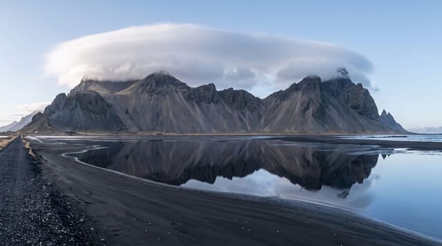
Cerro El Pital
The highest point in El Salvador at 2,730 metres, cloud forest on the Honduran boundary with strawberry farms below.
Updated 21 October 2026
Cerro El Pital reaches 2,730 metres on the boundary with Honduras and is the highest point in El Salvador, high enough that the summit carries cloud forest of oak, cypress and moss quite unlike the country below, and cold enough that temperatures drop below freezing on winter nights, which is a novelty in a tropical country and the reason Salvadorans come. The slopes below at Las Pilas grow strawberries, lettuce, cabbage and flowers in cool-climate market gardens, sold at roadside stalls. Access is through private land with several operators charging entry, and cabins and campsites cluster on the approach. The summit is often in cloud and the view is not the point for most visitors.
The landscape
- The summit - the highest ground in the country, usually in cloud.
- Cloud forest - the mossy oak and cypress on the upper slopes.
- Strawberry farms - the cool-climate market gardens at Las Pilas.
- Cabins and camps - the accommodation clustered on the approach.
When to go
November to April in the dry season, when nights are coldest and the novelty of frost draws visitors. Cloud sits on the summit for much of the year. Weekends and holidays fill the cabins.
What to expect
Access is through private land with several separate entry charges. Cloud usually removes the view from the summit. The roads up are rough and steep. Weekend crowds and litter are significant.
Nearby
La Palma lies south; Miramundo is on the same range.
Key facts
Source: Wikidata, item Q74214, read on 18 October 2026.
What to pack for Cerro El Pital
Chosen from what this place is for. Tap a kit for the full checklist.
- Broken-in walking shoes or boots - Grip and ankle support matter more than looks; never hike in brand-new boots. Find on Amazon
- Layers for big temperature swings - Warm sun by day, near-freezing at night, even near the equator. Find on Amazon
- Shelter suited to the place - Tent, tarp or hut booking - match it to the terrain and rules. Find on Amazon
- Layers + a waterproof shell - Mountain weather turns fast; a packable rain jacket saves the day. Find on Amazon
Some links on this page are Amazon affiliate links - if you buy through them we may earn a small commission at no extra cost to you.
All packing kitsPlan your trip
Where to start if Cerro El Pital is going on the list.
Booking links on this page are affiliate links - if you book through them we may earn a small commission at no extra cost to you. It never changes what we write about a place.
Opening times, ticket prices and seasonal closures change - check the official source before you go: official site.