Bahia de Jiquilisco
A biosphere reserve of mangrove channels, islands and turtle beaches behind a chain of sand bars in Usulutan.
Updated 21 October 2026
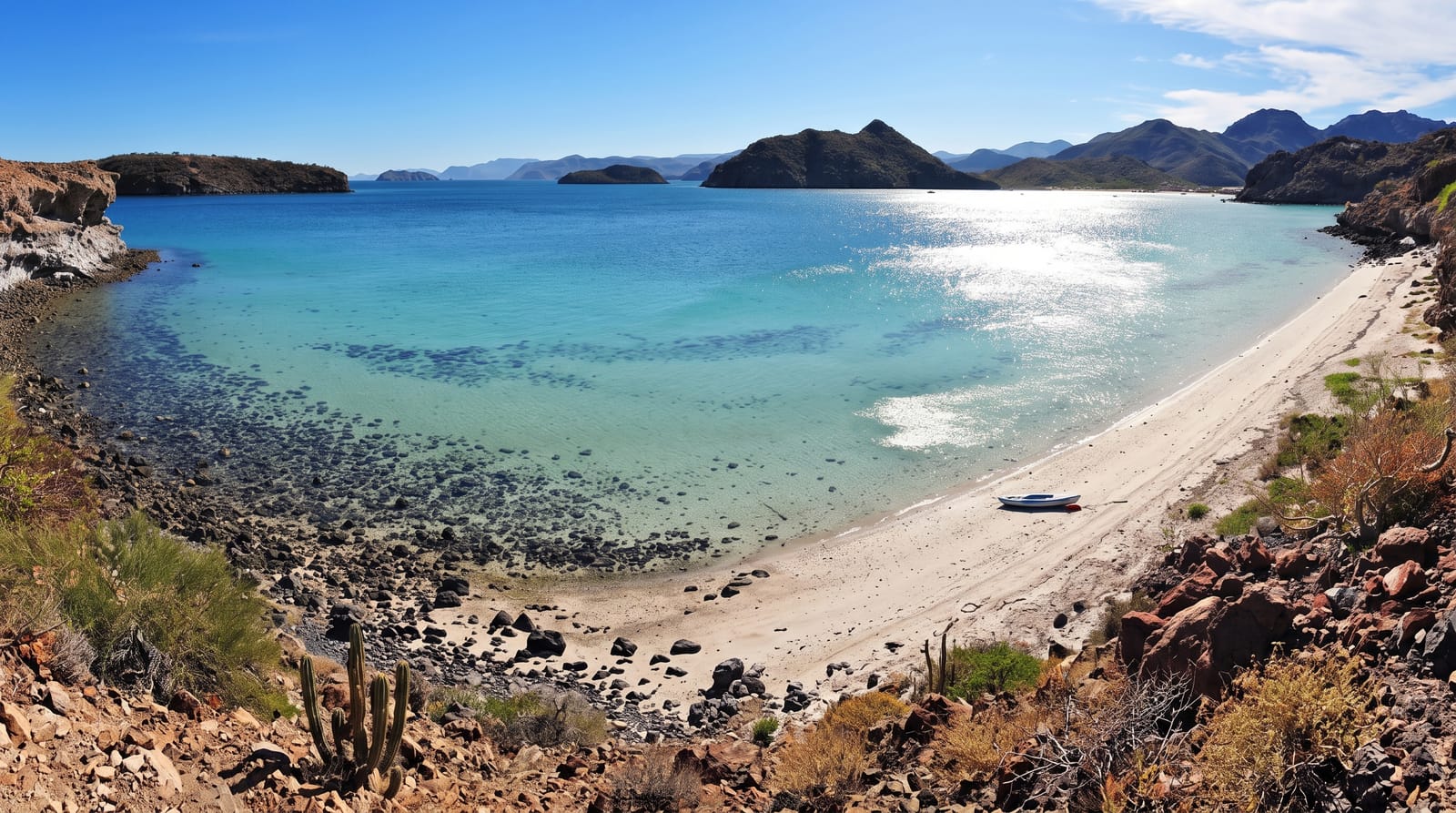
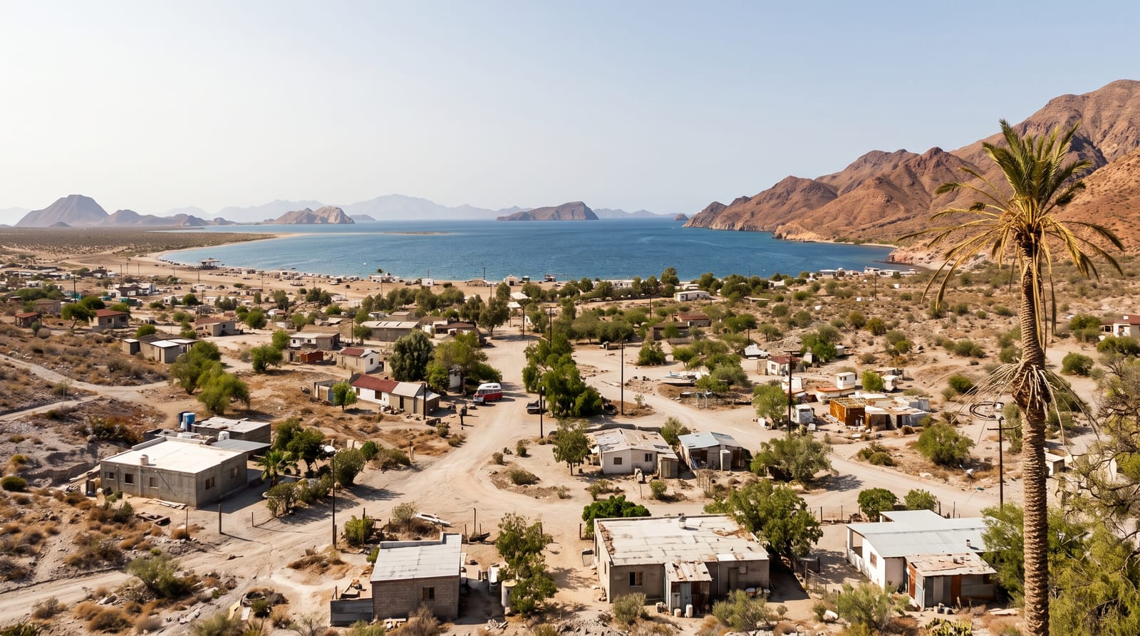
The Bahia de Jiquilisco is the largest estuary system in the country, a bay and reserve of several hundred square kilometres behind a chain of sand bars and islands, holding the biggest remaining mangrove forest in El Salvador, designated a Ramsar wetland and a UNESCO biosphere reserve. Boats work the channels from Puerto El Triunfo and other landings, past red and white mangrove, mudflats and fishing settlements, with herons, ibis, spoonbills, ospreys and large numbers of migrating shorebirds. The ocean beaches on the outer bars are important nesting grounds for hawksbill turtles, one of the significant sites for the species in the eastern Pacific, with community hatcheries at several points.
The landscape
- Mangrove channels - the boat routes through the estuary forest.
- Shorebirds - the migrating and resident waders on the mudflats.
- Hawksbill nesting - the turtle beaches and community hatcheries.
- Barrier islands - the sand bars separating bay from ocean.
When to go
November to April for the roads and the birds; migrating shorebirds peak in autumn and spring. Hawksbill nesting runs roughly May to October, which overlaps with the rains. Early morning is best on the water.
Good to know
Boat hire is arranged informally and prices negotiated. Accommodation is a handful of basic lodges. Mangrove cutting and shrimp farming have affected parts of the system. Mosquitoes are severe.
Nearby
Playa El Espino lies east; Usulutan is north.
Key facts
Source: Wikidata, item Q6202951, read on 18 October 2026.
What to pack for Bahia de Jiquilisco
Chosen from what this place is for. Tap a kit for the full checklist.
- Broken-in walking shoes or boots - Grip and ankle support matter more than looks; never hike in brand-new boots. Find on Amazon
- Travel rod + reel - A packable multi-piece rod fits in a case and covers most holiday fishing. Find on Amazon
- Reef-safe sunscreen - High SPF that will not bleach the coral you are swimming over. Find on Amazon
- Binoculars - The single best wildlife tool - even a compact pair transforms a sighting. Find on Amazon
Some links on this page are Amazon affiliate links - if you buy through them we may earn a small commission at no extra cost to you.
All packing kitsPlan your trip
Where to start if Bahia de Jiquilisco is going on the list.
Booking links on this page are affiliate links - if you book through them we may earn a small commission at no extra cost to you. It never changes what we write about a place.
Opening times, ticket prices and seasonal closures change - check the official source before you go: official site.