Cayambe Coca National Park
A park running from glaciated Cayambe down to Amazon foothills, spanning paramo, cloud forest and rainforest.
Updated 31 August 2026
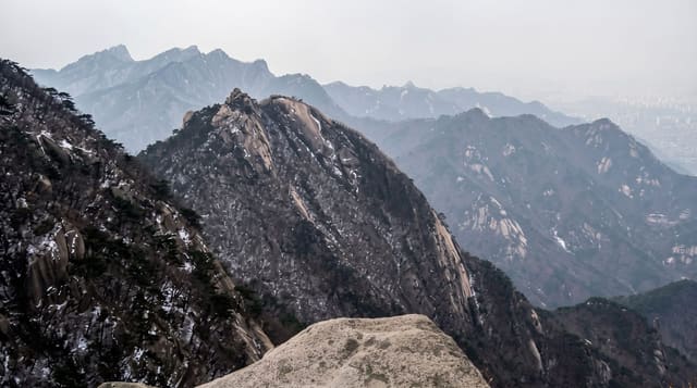
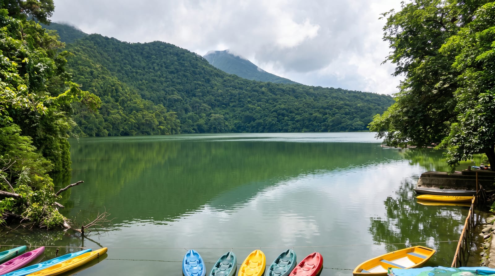
Cayambe Coca covers some four thousand square kilometres on the eastern cordillera, dropping from the ice of Cayambe at 5,790 metres through paramo, elfin forest and cloud forest into Amazon foothills at 600, which gives it one of the widest altitudinal ranges of any protected area in the country and a species list to match: spectacled bear, mountain tapir, condor, and several hundred bird species across the gradient. The Papallacta pass road cuts its northern edge and gives the easiest access, with paramo lakes, hot springs at Papallacta and trails from the pass. The park supplies much of Quito's water. Its lower reaches, wet and roadless, are far harder to reach and largely visited from Amazon lodges.
What's there
- A gradient from ice to rainforest - five thousand metres of altitude range.
- Paramo lakes on the pass - the high ground along the Papallacta road.
- Spectacled bear and mountain tapir - the flagship mammals of the park.
- Quito's water source - the catchment the city depends on.
When to go
June to September for the highlands; the eastern slope is wet year round. A day from the Papallacta road, several to go deeper. Weather at the pass changes hourly.
Good to know
The high sections are cold, wet and often in cloud. Lower reaches are effectively inaccessible without an expedition or a lodge. Trails are unmarked in places. Altitude at the pass is 4,000 metres and affects visitors from Quito.
Nearby
Papallacta hot springs are on the road; Cayambe volcano rises north.
Key facts
Source: Wikidata, item Q4744643, read on 18 October 2026.
What to pack for Cayambe Coca National Park
Chosen from what this place is for. Tap a kit for the full checklist.
- Broken-in walking shoes or boots - Grip and ankle support matter more than looks; never hike in brand-new boots. Find on Amazon
- Binoculars - The single best wildlife tool - even a compact pair transforms a sighting. Find on Amazon
- Strong insect repellent - DEET or picaridin; the jungle is where bites and disease risk are highest. Find on Amazon
- Layers for big temperature swings - Warm sun by day, near-freezing at night, even near the equator. Find on Amazon
Some links on this page are Amazon affiliate links - if you buy through them we may earn a small commission at no extra cost to you.
All packing kitsPlan your trip
Where to start if Cayambe Coca National Park is going on the list.
Booking links on this page are affiliate links - if you book through them we may earn a small commission at no extra cost to you. It never changes what we write about a place.
Opening times, ticket prices and seasonal closures change - check the official source before you go: official site.