Cotubanamá National Park
A coastal and island park at Bayahibe with Taíno caves and the beaches of Saona.
Updated 16 October 2026
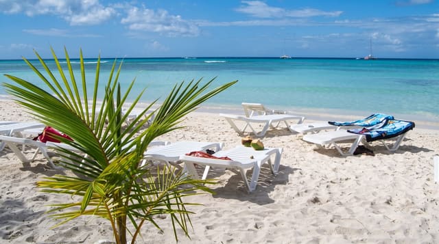
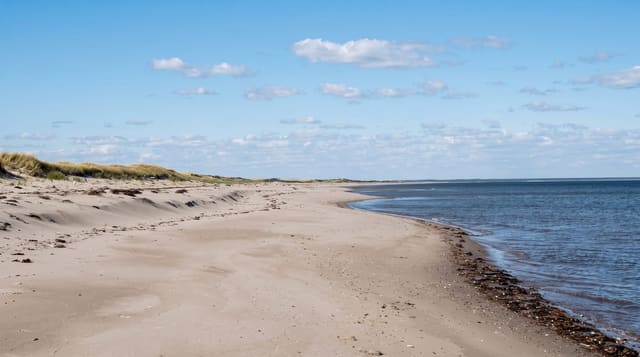
Cotubanamá, long known as Parque Nacional del Este, covers a block of dry limestone forest on the southeastern coast plus Saona and Catalinita islands, and it holds two very different draws: the beaches and shallow sandbanks of Saona, which day boats from Bayahibe fill every morning, and the Taíno cave sites on the mainland, particularly Cueva de José María, whose walls carry hundreds of pictographs.
Background
The park spreads over 791.9 square kilometres across La Altagracia and La Romana provinces, covering mangroves, beaches, caves and both humid and dry subtropical forest. It gained national park and reserve status in 1975, after a survey found more than 50 endemic plants among over 539 species. The protected area totals 41,894 hectares, made up of 31,244 hectares of Hispaniola's southeastern peninsula and 10,650 hectares on Saona Island, with a 12,000 hectare buffer zone around its edges. Since 2014 it has carried the name of Cotubanamá, cacique of the Higüey chiefdom where the park lies.
Source: Wikipedia, "Cotubanamá National Park"
Highlights
- Cueva de José María - a cave with hundreds of Taíno pictographs on its walls.
- Saona Island - the beaches and sandbanks the day boats run to.
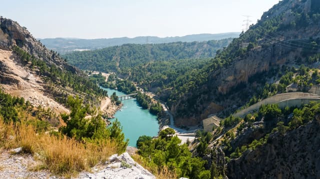
- The dry limestone forest - the mainland woodland with its caves and sinkholes.
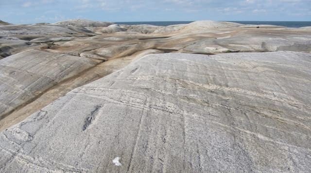
- The park's rock coast - the low cliffs and inlets along the mainland shore.
When to go
December to April is the dry season and calmest for boats. Hurricane season runs June to November. Mornings are best before the day boats arrive.
Practical notes
Saona day trips are heavily commercialised and the natural pool sandbank is packed with boats. The cave sites need a guide and permission and are much less visited. Park fees are charged separately from tour costs.
Nearby
Bayahibe is the departure point, and La Romana is west.
Key facts
Source: Wikidata, item Q585251, read on 18 October 2026.
What to pack for Cotubanamá National Park
Chosen from what this place is for. Tap a kit for the full checklist.
- Broken-in walking shoes or boots - Grip and ankle support matter more than looks; never hike in brand-new boots. Find on Amazon
- Reef-safe sunscreen - High SPF that will not bleach the coral you are swimming over. Find on Amazon
- Head torch + spare batteries - Hands-free light is essential; caves are truly dark. Find on Amazon
- Binoculars - The single best wildlife tool - even a compact pair transforms a sighting. Find on Amazon
Some links on this page are Amazon affiliate links - if you buy through them we may earn a small commission at no extra cost to you.
All packing kitsPlan your trip
Where to start if Cotubanamá National Park is going on the list.
Booking links on this page are affiliate links - if you book through them we may earn a small commission at no extra cost to you. It never changes what we write about a place.
Opening times, ticket prices and seasonal closures change - check the official source before you go: official site.