Ras Siyyan
A volcanic headland at Djibouti's northern tip, looking across to Yemen.
Updated 16 October 2026
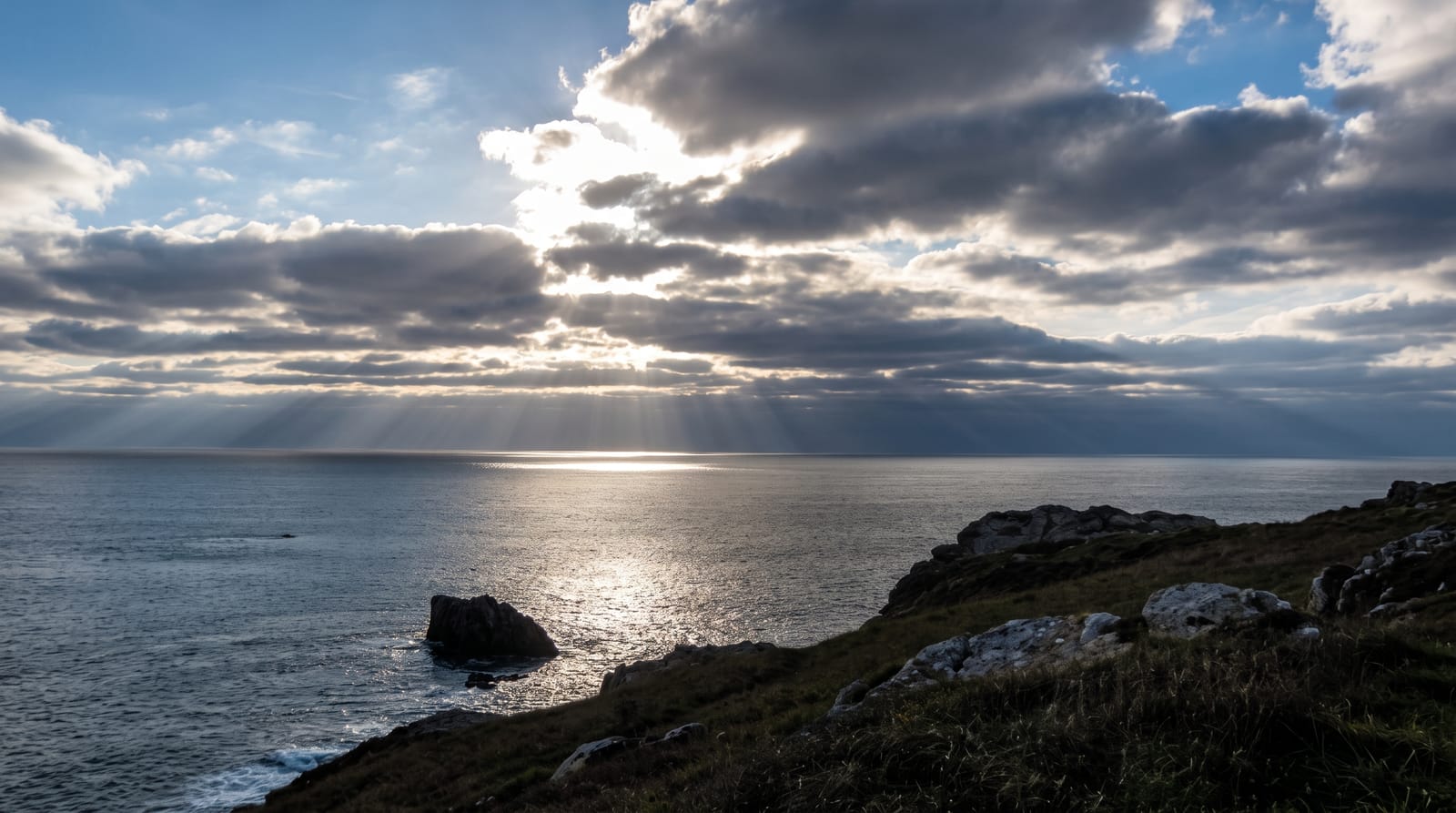
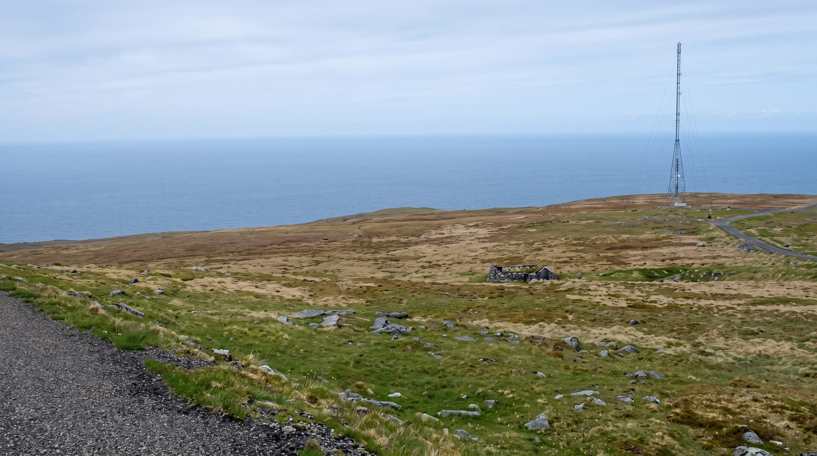
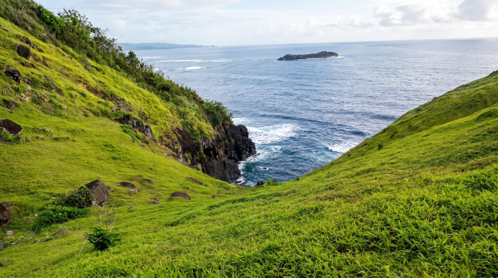
Ras Siyyan is a volcanic headland on Djibouti's far northern coast, dark rock and cinder standing above the Bab-el-Mandeb strait with the Yemeni coast visible across the water and the Seven Brothers islands offshore. The ground is bare lava and ash with almost no vegetation. Ospreys and seabirds work the coast and the strait carries constant shipping traffic through the narrows. The strait here is around thirty kilometres wide, which is the narrowest point between the Horn of Africa and Arabia.
Background
The peninsula lies in the Obock Region, about 20 km southwest of Perim Island. At its heart is a reddish volcanic hill roughly 1.2 by 0.5 km across and 138 m high, joined to the land by a low strip of sand running about 5 km south and widening from 500 to 800 m. The volcano is young and now inactive; it broke through a 21,000-year-old formation of coral reef. West of the hill lies a shallow, marshy bay about 2.5 km wide, sheltered on its north side by coral banks, where Avicennia marina mangroves grow, sea grasses form large beds and sharks breed in October. Rocher Siyyan, a white rock, stands some 800 m southwest of the hill.
Source: Wikipedia, "Ras Siyyan"
The landscape
- The northern point - the headland at Djibouti's northern extremity.
- The strait - the Bab-el-Mandeb narrows with shipping passing through.
- The Seven Brothers - the island group visible offshore.
- The volcanic ground - bare lava and cinder with almost no plants.
When to go
November to March is the cool season and the only practical window. Summer heat is extreme with no shade. Wind through the strait is constant.
Before you go
Access needs four wheel drive and local knowledge on rough tracks. There is no water, shade or shelter anywhere near. Summer heat here is genuinely dangerous.
Nearby
Khor Angar is south, and the Seven Brothers are offshore.
Key facts
Source: Wikidata, item Q7294675, read on 18 October 2026.
What to pack for Ras Siyyan
Chosen from what this place is for. Tap a kit for the full checklist.
- Broken-in walking shoes or boots - Grip and ankle support matter more than looks; never hike in brand-new boots. Find on Amazon
- Layers + a waterproof shell - Mountain weather turns fast; a packable rain jacket saves the day. Find on Amazon
- Daypack with rain cover - 20-30 litres holds water, snacks, layers and a first-aid kit. Find on Amazon
- Offline maps + a power bank - Download the trail before you lose signal; carry backup charge. Find on Amazon
Some links on this page are Amazon affiliate links - if you buy through them we may earn a small commission at no extra cost to you.
All packing kitsPlan your trip
Where to start if Ras Siyyan is going on the list.
Booking links on this page are affiliate links - if you book through them we may earn a small commission at no extra cost to you. It never changes what we write about a place.
Opening times, ticket prices and seasonal closures change - check the official source before you go: official site.