The Sierra Nevada de Santa Marta
The highest coastal mountain range in the tropics, rising from Caribbean beaches to snow peaks in about forty kilometres.
Updated 1 October 2026
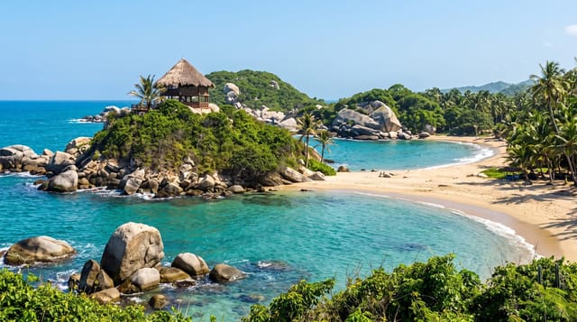
The Sierra Nevada de Santa Marta is an isolated triangular massif with no physical link to the Andes proper: it rises straight out of the Caribbean and reaches about five thousand seven hundred metres at Pico Cristobal Colon, roughly forty kilometres from the beach. That compression stacks nearly every climate band in the country one above the other, from dry coastal scrub through cloud forest to paramo and the last shrinking glaciers. It is also the territory of the Kogi, Arhuaco, Wiwa and Kankuamo peoples, who regard the range as sacred and keep the high country closed. Visitors see the lower slopes: coffee country, birding ridges and the trek to the Lost City.
What you'll find
- The climate bands - dry scrub, cloud forest and paramo stacked within a single day's climb.
- The snow line - the white summits visible from the coast on clear mornings.
- The endemic birds - species found on this massif and nowhere else on earth.
- The foothill villages - Minca, San Pedro de la Sierra and the coffee slopes.
When to go
Dry windows from December to March and again in July and August give the clearest chance of seeing the snow line from the coast, which is otherwise hidden by cloud for weeks at a time. Treks run year round but the paths turn to deep mud from September to November. Book the Lost City trek in advance during the dry season.
Things to know
You cannot simply climb it. The summits sit in indigenous territory and are closed to visitors, and the range has no cable car, road or lookout that gets you near the ice. What you get is foothills, heat, humidity and long walks, plus the frustration of a cloud layer that hides the peaks on most days of the year.
Nearby
Santa Marta, Minca, Tayrona and the Lost City trek all sit on its northern flank.
What to pack for The Sierra Nevada de Santa Marta
Chosen from what this place is for. Tap a kit for the full checklist.
- Broken-in walking shoes or boots - Grip and ankle support matter more than looks; never hike in brand-new boots. Find on Amazon
- Reef-safe sunscreen - High SPF that will not bleach the coral you are swimming over. Find on Amazon
- Warm base layers - Merino or synthetic against the skin - never cotton, which chills when damp. Find on Amazon
- Strong insect repellent - DEET or picaridin; the jungle is where bites and disease risk are highest. Find on Amazon
Some links on this page are Amazon affiliate links - if you buy through them we may earn a small commission at no extra cost to you.
All packing kitsPlan your trip
Where to start if The Sierra Nevada de Santa Marta is going on the list.
Booking links on this page are affiliate links - if you book through them we may earn a small commission at no extra cost to you. It never changes what we write about a place.
Opening times, ticket prices and seasonal closures change - check the official source before you go: official site.